
 Brok
Skierniewice
Sandomierz
Wolow
Górno
Pyskowice
Oława
Starachowice
Połaniec
Lubin
Pelplin
Pleszew
Olesno
Inowroclaw
Swidnica
Będzin
Biskupiec
Chociwel
Legionowo
Brok
Skierniewice
Sandomierz
Wolow
Górno
Pyskowice
Oława
Starachowice
Połaniec
Lubin
Pelplin
Pleszew
Olesno
Inowroclaw
Swidnica
Będzin
Biskupiec
Chociwel
Legionowo
Szczecinek on the map, Poland
Where is located Szczecinek
Exact location — Szczecinek, Szczecinek County, West Pomeranian Voivodeship, Poland, marked on the map with a red marker.
Coordinates
Szczecinek, Poland coordinates in decimal format: latitude — 53.7100713, longitude — 16.6993602. When converted to degrees, minutes, seconds Szczecinek has the following coordinates: 53°42′36.26 north latitude and 16°41′57.7 east longitude.
Population
Szczecinek, Szczecinek County, West Pomeranian Voivodeship, Poland, according to our data the population is — 38,496 residents, which is about 0.1% of the total population of the country (Poland).
Comparison of the population on the graph:
Exact time
Time zone for this location Szczecinek — UTC +2 Europe/Warsaw. Exact time — friday, 5 may 2024 year, 04 h. 32 minutes.
Sunrise and sunset
Szczecinek, sunrise and sunset data for a date — friday 17.05.2024.
| Sunrise | Sunset | Day (duration) |
|---|---|---|
| 04:52 -1 minute | 20:47 +2 minutes | 15 h. 54 minutes. +3 minutes |
You can control the scale of the map using the auxiliary tools to find out exactly where it is located Szczecinek. When you change the scale of the map, the width of the ruler also changes (in kilometers and miles).
Nearby cities
The largest cities that are located nearby:
- Koszalin — 63 km
- Bydgoszcz — 108 km
- Gdańsk — 144 km
- Szczecin — 145 km
- Poznań — 145 km
- Gorzów Wielkopolski — 146 km
- Gdynia — 148 km
- Torun — 148 km
- Elblag — 182 km
- Wloclawek — 198 km
- Zielona Gora — 212 km
- Kalisz — 235 km
- Plock — 240 km
- Olsztyn — 247 km
- Berlin
 (Germany) — 258 km
 - Berlin (Germany) — 260 km
- Kaliningrad
 (Russia) — 268 km
 - Cottbus (Germany) — 270 km
- Legnica — 279 km
Distance to neighboring capitals:
- Berlin (Germany) — 257 km
- Copenhagen
 (Denmark) — 344 km
 - Prague
 (Czech Republic) — 433 km
 - Vilnius
 (Lithuania) — 568 km
 - Rīga
 (Latvia) — 591 km
 - Vienna
 (Austria) — 612 km
 - Bratislava
 (Slovakia) — 620 km
 - Budapest
 (Hungary) — 710 km
 - Minsk
 (Belarus) — 713 km
 - Amsterdam
 (Netherlands) — 802 km
 - Helsinki
 (Finland) — 874 km
 - Bern
 (Switzerland) — 997 km
 - Kyiv
 (Ukraine) — 1010 km
 - Belgrade
 (Serbia) — 1029 km
 - Paris
 (France) — 1132 km
 - Bucharest
 (Romania) — 1237 km
 - Moscow (Russia) — 1357 km
- Tbilisi
 (Georgia) — 2464 km
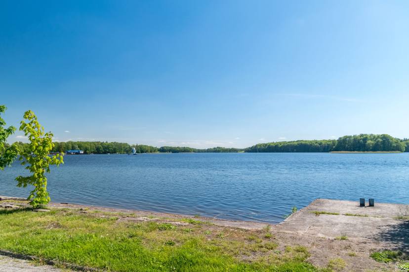
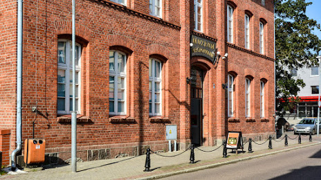
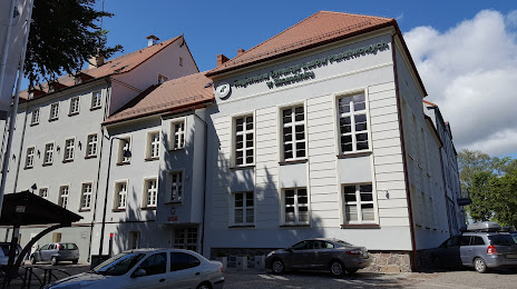
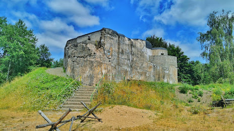
Attractions


Distance to the capital
Distance to the capital (Warsaw) is about — 332 km.