
 Zory
Grajewo
Pieniężno
Bilgoraj
Szczecinek
Stary Sącz
Gryfino
Gostynin
Psary
Ostrow Mazowiecka
Ruda Slaska
Chorzow
Radzymin
Przemyśl
Miasteczko Śląskie
Swinoujscie
Wloclawek
Baboszewo
Sulecin
Zory
Grajewo
Pieniężno
Bilgoraj
Szczecinek
Stary Sącz
Gryfino
Gostynin
Psary
Ostrow Mazowiecka
Ruda Slaska
Chorzow
Radzymin
Przemyśl
Miasteczko Śląskie
Swinoujscie
Wloclawek
Baboszewo
Sulecin
Swidnica on the map, Poland
Where is located Swidnica
Exact location — Swidnica, Świdnica County, Lower Silesian Voivodeship, Poland, marked on the map with a red marker.
Coordinates
Swidnica, Poland coordinates in decimal format: latitude — 50.8498434, longitude — 16.475679. When converted to degrees, minutes, seconds Swidnica has the following coordinates: 50°50′59.44 north latitude and 16°28′32.44 east longitude.
Population
Swidnica, Świdnica County, Lower Silesian Voivodeship, Poland, according to our data the population is — 60,351 residents, which is about 0.2% of the total population of the country (Poland).
Comparison of the population on the graph:
Exact time
Time zone for this location Swidnica — UTC +2 Europe/Warsaw. Exact time — saturday, 5 may 2024 year, 22 h. 37 minutes.
Sunrise and sunset
Swidnica, sunrise and sunset data for a date — saturday 4.05.2024.
| Sunrise | Sunset | Day (duration) |
|---|---|---|
| 05:25 -2 minutes | 20:16 +2 minutes | 14 h. 54 minutes. +4 minutes |
You can control the scale of the map using the auxiliary tools to find out exactly where it is located Swidnica. When you change the scale of the map, the width of the ruler also changes (in kilometers and miles).
Nearby cities
The largest cities that are located nearby:
- Walbrzych — 15 km
- Legnica — 45 km
- Wrocław — 48 km
- Opole — 103 km
- Zielona Gora — 137 km
- Olomouc
 (Czech Republic) — 150 km
 - Kalisz — 150 km
- Gliwice — 167 km
- Prague (Czech Republic) — 168 km
- Rybnik — 169 km
- Ostrava (Czech Republic) — 171 km
- Zabrze — 173 km
- Poznań — 175 km
- Cottbus
 (Germany) — 178 km
 - Ruda Slaska — 181 km
- Bytom — 181 km
- Brno (Czech Republic) — 183 km
- Częstochowa — 185 km
- Chorzow — 185 km
Distance to neighboring capitals:
- Prague (Czech Republic) — 168 km
- Berlin (Germany) — 282 km
- Vienna
 (Austria) — 294 km
 - Bratislava
 (Slovakia) — 304 km
 - Budapest
 (Hungary) — 417 km
 - Copenhagen
 (Denmark) — 596 km
 - Vilnius
 (Lithuania) — 729 km
 - Belgrade
 (Serbia) — 737 km
 - Bern
 (Switzerland) — 789 km
 - Amsterdam
 (Netherlands) — 817 km
 - Minsk
 (Belarus) — 825 km
 - Rīga
 (Latvia) — 842 km
 - Kyiv
 (Ukraine) — 990 km
 - Bucharest
 (Romania) — 1014 km
 - Paris
 (France) — 1035 km
 - Helsinki
 (Finland) — 1164 km
 - Moscow
 (Russia) — 1500 km
 - Tbilisi
 (Georgia) — 2382 km
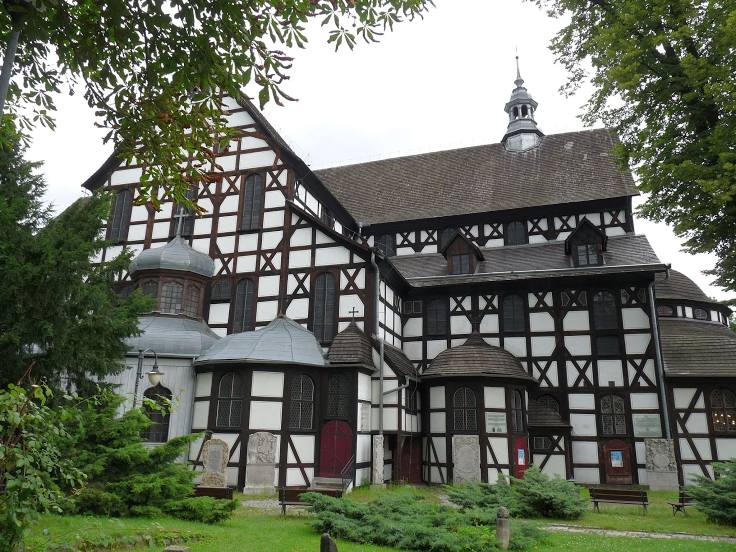
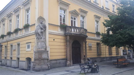
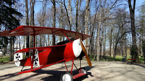
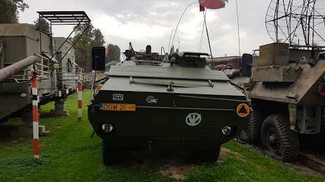
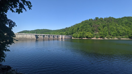
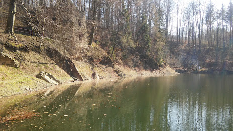
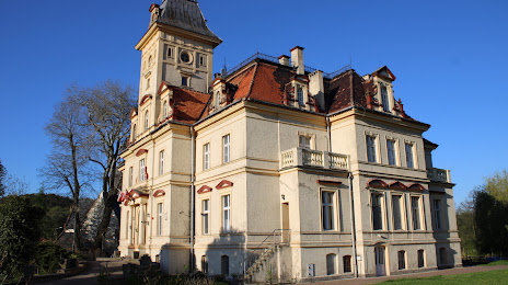
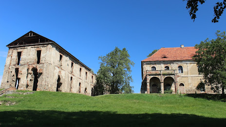
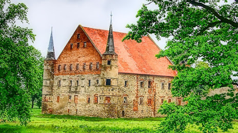
Attractions


Distance to the capital
Distance to the capital (Warsaw) is about — 349 km.