
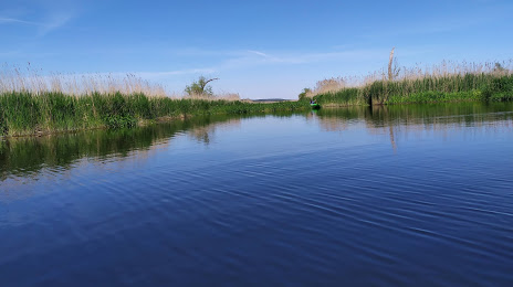
 Sandomierz
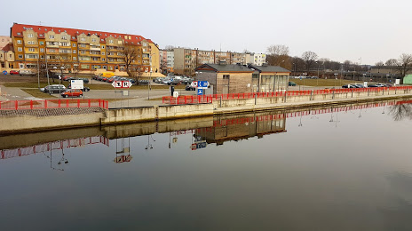
Wolow
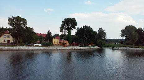
Górno
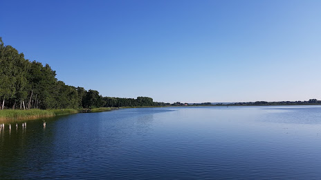
Pyskowice
Oława
Starachowice
Połaniec
Sochaczew
Radomsko
Belchatow
Mszczonow
Lubin
Pelplin
Pleszew
Olesno
Inowroclaw
Swidnica
Będzin
Biskupiec
Sandomierz
Wolow
Górno
Pyskowice
Oława
Starachowice
Połaniec
Sochaczew
Radomsko
Belchatow
Mszczonow
Lubin
Pelplin
Pleszew
Olesno
Inowroclaw
Swidnica
Będzin
Biskupiec
Gryfino on the map, Poland
Where is located Gryfino
Exact location — Gryfino, Gryfino County, West Pomeranian Voivodeship, Poland, marked on the map with a red marker.
Coordinates
Gryfino, Poland coordinates in decimal format: latitude — 53.25238, longitude — 14.48823. When converted to degrees, minutes, seconds Gryfino has the following coordinates: 53°15′8.57 north latitude and 14°29′17.63 east longitude.
Population
Gryfino, Gryfino County, West Pomeranian Voivodeship, Poland, according to our data the population is — 21,270 residents, which is about 0.1% of the total population of the country (Poland).
Comparison of the population on the graph:
Exact time
Time zone for this location Gryfino — UTC +2 Europe/Warsaw. Exact time — monday, 5 may 2024 year, 17 h. 15 minutes.
Sunrise and sunset
Gryfino, sunrise and sunset data for a date — monday 13.05.2024.
| Sunrise | Sunset | Day (duration) |
|---|---|---|
| 05:09 -2 minutes | 20:47 +2 minutes | 15 h. 36 minutes. +4 minutes |
You can control the scale of the map using the auxiliary tools to find out exactly where it is located Gryfino. When you change the scale of the map, the width of the ruler also changes (in kilometers and miles).
Nearby cities
The largest cities that are located nearby:
- Szczecin — 20 km
- Gorzów Wielkopolski — 76 km
- Berlin
 (Germany) — 109 km
 - Berlin (Germany) — 111 km
- Potsdam (Germany) — 135 km
- Koszalin — 151 km
- Zielona Gora — 161 km
- Cottbus (Germany) — 166 km
- Rostock (Germany) — 181 km
- Poznań — 189 km
- Magdeburg (Germany) — 231 km
- Bydgoszcz — 234 km
- Dresden (Germany) — 249 km
- Legnica — 254 km
- Leipzig (Germany) — 257 km
- Wolfsburg (Germany) — 266 km
- Torun — 275 km
- Malmö
 (Sweden) — 276 km
 - Brunswick (Germany) — 289 km
Distance to neighboring capitals:
- Berlin (Germany) — 109 km
- Copenhagen
 (Denmark) — 297 km
 - Prague
 (Czech Republic) — 353 km
 - Vienna
 (Austria) — 576 km
 - Bratislava
 (Slovakia) — 597 km
 - Amsterdam
 (Netherlands) — 652 km
 - Budapest
 (Hungary) — 717 km
 - Vilnius
 (Lithuania) — 723 km
 - Rīga
 (Latvia) — 736 km
 - Bern
 (Switzerland) — 862 km
 - Minsk
 (Belarus) — 865 km
 - Paris
 (France) — 977 km
 - Helsinki
 (Finland) — 998 km
 - Belgrade
 (Serbia) — 1036 km
 - Kyiv
 (Ukraine) — 1142 km
 - Bucharest
 (Romania) — 1295 km
 - Moscow
 (Russia) — 1512 km
 - Tbilisi
 (Georgia) — 2586 km
Attractions


Distance to the capital
Distance to the capital (Warsaw) is about — 454 km.