
 Chociwel
Biskupiec
Będzin
Swidnica
Inowroclaw
Olesno
Pleszew
Pelplin
Lubin
Żywiec
Nowy Targ
Stargard Szczecinski
Tarnobrzeg
Pila
Kęty
Rabka
Cieszyn
Jedlicze
Starogard Gdański
Chociwel
Biskupiec
Będzin
Swidnica
Inowroclaw
Olesno
Pleszew
Pelplin
Lubin
Żywiec
Nowy Targ
Stargard Szczecinski
Tarnobrzeg
Pila
Kęty
Rabka
Cieszyn
Jedlicze
Starogard Gdański
Przemyśl on the map, Poland
Where is located Przemyśl
Exact location — Przemyśl, Przemyśl County, Podkarpackie Voivodeship, Poland, marked on the map with a red marker.
Coordinates
Przemyśl, Poland coordinates in decimal format: latitude — 49.7838623, longitude — 22.7677908. When converted to degrees, minutes, seconds Przemyśl has the following coordinates: 49°47′1.9 north latitude and 22°46′4.05 east longitude.
Population
Przemyśl, Przemyśl County, Podkarpackie Voivodeship, Poland, according to our data the population is — 67,013 residents, which is about 0.2% of the total population of the country (Poland).
Comparison of the population on the graph:
Exact time
Time zone for this location Przemyśl — UTC +2 Europe/Warsaw. Exact time — wednesday, 5 may 2024 year, 02 h. 18 minutes.
Sunrise and sunset
Przemyśl, sunrise and sunset data for a date — wednesday 15.05.2024.
| Sunrise | Sunset | Day (duration) |
|---|---|---|
| 04:47 -1 minute | 20:03 +1 minute | 15 h. 18 minutes. +2 minutes |
You can control the scale of the map using the auxiliary tools to find out exactly where it is located Przemyśl. When you change the scale of the map, the width of the ruler also changes (in kilometers and miles).
Nearby cities
The largest cities that are located nearby:
- Rzeszow — 62 km
- Tarnow — 129 km
- Uzhhorod
 (Ukraine) — 133 km
 - Košice
 (Slovakia) — 161 km
 - Lublin — 162 km
- Kielce — 191 km
- Kraków — 203 km
- Radom — 211 km
- Nyíregyháza
 (Hungary) — 217 km
 - Satu Mare
 (Romania) — 221 km
 - Miskolc (Hungary) — 238 km
- Baia Mare (Romania) — 242 km
- Dabrowa Gornicza — 259 km
- Rivne (Ukraine) — 261 km
- Debrecen (Hungary) — 263 km
- Brest
 (Belarus) — 264 km
 - Bielsko-Biala — 265 km
- Sosnowiec — 265 km
- Katowice — 270 km
Distance to neighboring capitals:
- Budapest (Hungary) — 374 km
- Bratislava (Slovakia) — 452 km
- Vienna
 (Austria) — 498 km
 - Kyiv (Ukraine) — 558 km
- Minsk (Belarus) — 564 km
- Vilnius
 (Lithuania) — 571 km
 - Belgrade
 (Serbia) — 583 km
 - Prague
 (Czech Republic) — 597 km
 - Bucharest (Romania) — 647 km
- Berlin
 (Germany) — 720 km
 - Rīga
 (Latvia) — 802 km
 - Copenhagen
 (Denmark) — 948 km
 - Helsinki
 (Finland) — 1164 km
 - Bern
 (Switzerland) — 1173 km
 - Moscow
 (Russia) — 1196 km
 - Amsterdam
 (Netherlands) — 1278 km
 - Paris
 (France) — 1479 km
 - Tbilisi
 (Georgia) — 1920 km
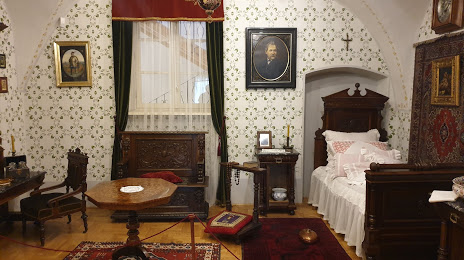
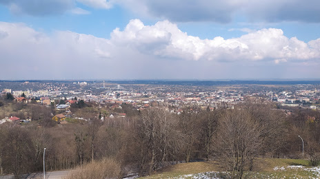
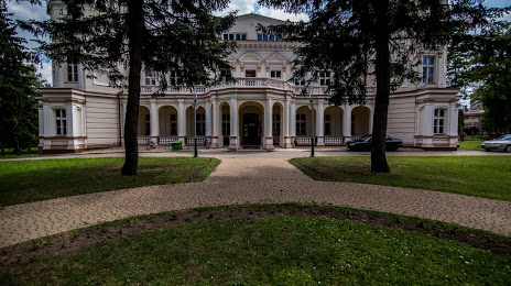
Attractions


Distance to the capital
Distance to the capital (Warsaw) is about — 298 km.