
 Swinoujscie
Miasteczko Śląskie
Przemyśl
Radzymin
Chorzow
Ruda Slaska
Ostrow Mazowiecka
Sanok
Grudziadz
Jastrzębie-Zdrój
Brzesko
Walbrzych
Krotoszyn
Sieradz
Świdnik
Narew
Wadowice
Lomza
Olkusz
Swinoujscie
Miasteczko Śląskie
Przemyśl
Radzymin
Chorzow
Ruda Slaska
Ostrow Mazowiecka
Sanok
Grudziadz
Jastrzębie-Zdrój
Brzesko
Walbrzych
Krotoszyn
Sieradz
Świdnik
Narew
Wadowice
Lomza
Olkusz
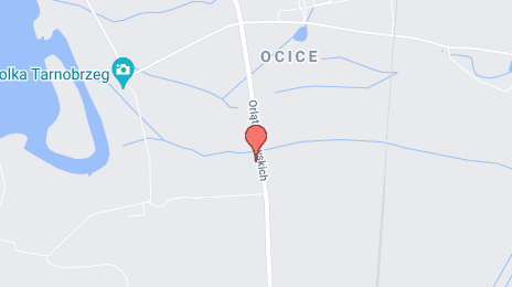
Tarnobrzeg on the map, Poland
Where is located Tarnobrzeg
Exact location — Tarnobrzeg, Tarnobrzeg County, Podkarpackie Voivodeship, Poland, marked on the map with a red marker.
Coordinates
Tarnobrzeg, Poland coordinates in decimal format: latitude — 50.5729079, longitude — 21.6790698. When converted to degrees, minutes, seconds Tarnobrzeg has the following coordinates: 50°34′22.47 north latitude and 21°40′44.65 east longitude.
Population
Tarnobrzeg, Tarnobrzeg County, Podkarpackie Voivodeship, Poland, according to our data the population is — 50,459 residents, which is about 0.1% of the total population of the country (Poland).
Comparison of the population on the graph:
Exact time
Time zone for this location Tarnobrzeg — UTC +2 Europe/Warsaw. Exact time — thursday, 5 may 2024 year, 04 h. 36 minutes.
Sunrise and sunset
Tarnobrzeg, sunrise and sunset data for a date — thursday 9.05.2024.
| Sunrise | Sunset | Day (duration) |
|---|---|---|
| 04:57 -1 minute | 20:02 +2 minutes | 15 h. 6 minutes. +3 minutes |
You can control the scale of the map using the auxiliary tools to find out exactly where it is located Tarnobrzeg. When you change the scale of the map, the width of the ruler also changes (in kilometers and miles).
Nearby cities
The largest cities that are located nearby:
- Rzeszow — 63 km
- Tarnow — 79 km
- Kielce — 80 km
- Lublin — 97 km
- Radom — 99 km
- Kraków — 135 km
- Dabrowa Gornicza — 178 km
- Częstochowa — 181 km
- Sosnowiec — 185 km
- Katowice — 191 km
- Chorzow — 195 km
- Bytom — 197 km
- Łódź — 201 km
- Ruda Slaska — 203 km
- Bielsko-Biala — 205 km
- Zabrze — 206 km
- Košice
 (Slovakia) — 207 km
 - Gliwice — 215 km
- Brest
 (Belarus) — 219 km
Distance to neighboring capitals:
- Budapest
 (Hungary) — 392 km
 - Bratislava (Slovakia) — 427 km
- Vienna
 (Austria) — 465 km
 - Prague
 (Czech Republic) — 517 km
 - Vilnius
 (Lithuania) — 518 km
 - Minsk (Belarus) — 545 km
- Berlin
 (Germany) — 611 km
 - Kyiv
 (Ukraine) — 625 km
 - Belgrade
 (Serbia) — 650 km
 - Rīga
 (Latvia) — 727 km
 - Bucharest
 (Romania) — 760 km
 - Copenhagen
 (Denmark) — 831 km
 - Helsinki
 (Finland) — 1087 km
 - Bern
 (Switzerland) — 1117 km
 - Amsterdam
 (Netherlands) — 1177 km
 - Moscow
 (Russia) — 1205 km
 - Paris
 (France) — 1399 km
 - Tbilisi
 (Georgia) — 2023 km
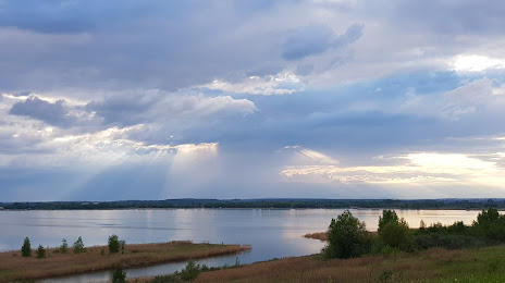
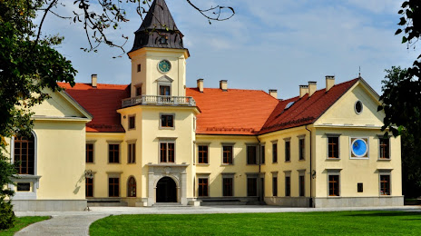
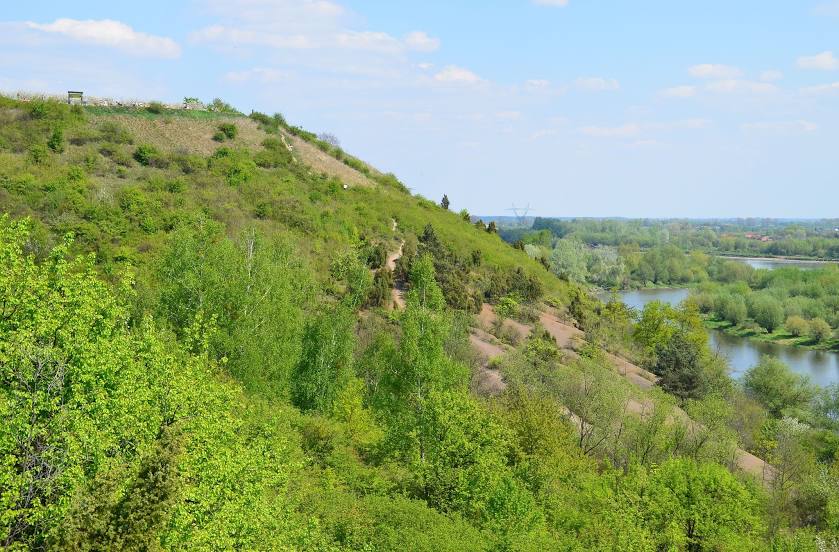
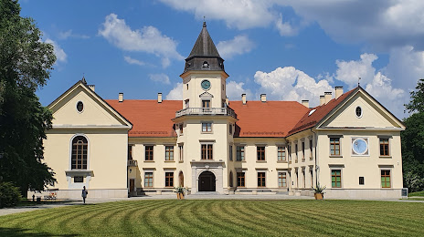
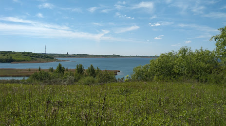
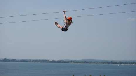
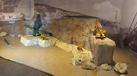
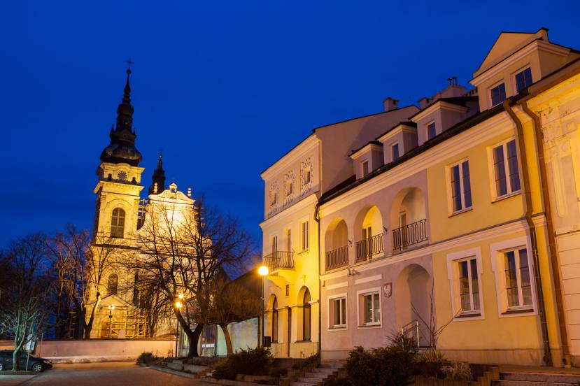
Attractions


Distance to the capital
Distance to the capital (Warsaw) is about — 190 km.