
 Kęty
Pila
Tarnobrzeg
Stargard Szczecinski
Nowy Targ
Żywiec
Sucha Beskidzka
Knurów
Sosnowiec
Tychy
Bytom
Skoczów
Wabrzezno
Kolobrzeg
Mielec
Siedlce
Andrychów
Mikolow
Wilkowice
Kęty
Pila
Tarnobrzeg
Stargard Szczecinski
Nowy Targ
Żywiec
Sucha Beskidzka
Knurów
Sosnowiec
Tychy
Bytom
Skoczów
Wabrzezno
Kolobrzeg
Mielec
Siedlce
Andrychów
Mikolow
Wilkowice
Krotoszyn on the map, Poland
Where is located Krotoszyn
Exact location — Krotoszyn, Krotoszyn County, Greater Poland Voivodeship, Poland, marked on the map with a red marker.
Coordinates
Krotoszyn, Poland coordinates in decimal format: latitude — 51.6965283, longitude — 17.4359425. When converted to degrees, minutes, seconds Krotoszyn has the following coordinates: 51°41′47.5 north latitude and 17°26′9.39 east longitude.
Population
Krotoszyn, Krotoszyn County, Greater Poland Voivodeship, Poland, according to our data the population is — 29,231 residents, which is about 0.1% of the total population of the country (Poland).
Comparison of the population on the graph:
Exact time
Time zone for this location Krotoszyn — UTC +2 Europe/Warsaw. Exact time — tuesday, 5 may 2024 year, 13 h. 15 minutes.
Sunrise and sunset
Krotoszyn, sunrise and sunset data for a date — tuesday 14.05.2024.
| Sunrise | Sunset | Day (duration) |
|---|---|---|
| 05:02 -1 minute | 20:30 +1 minute | 15 h. 30 minutes. +2 minutes |
You can control the scale of the map using the auxiliary tools to find out exactly where it is located Krotoszyn. When you change the scale of the map, the width of the ruler also changes (in kilometers and miles).
Nearby cities
The largest cities that are located nearby:
- Kalisz — 45 km
- Wrocław — 71 km
- Poznań — 86 km
- Legnica — 104 km
- Opole — 118 km
- Walbrzych — 129 km
- Zielona Gora — 134 km
- Łódź — 138 km
- Wloclawek — 152 km
- Częstochowa — 153 km
- Bydgoszcz — 162 km
- Torun — 165 km
- Gliwice — 178 km
- Zabrze — 179 km
- Plock — 179 km
- Bytom — 182 km
- Gorzów Wielkopolski — 187 km
- Chorzow — 188 km
- Ruda Slaska — 188 km
Distance to neighboring capitals:
- Prague
 (Czech Republic) — 277 km
 - Berlin
 (Germany) — 290 km
 - Vienna
 (Austria) — 395 km
 - Bratislava
 (Slovakia) — 396 km
 - Budapest
 (Hungary) — 481 km
 - Copenhagen
 (Denmark) — 546 km
 - Vilnius
 (Lithuania) — 619 km
 - Minsk
 (Belarus) — 723 km
 - Rīga
 (Latvia) — 726 km
 - Belgrade
 (Serbia) — 800 km
 - Amsterdam
 (Netherlands) — 860 km
 - Bern
 (Switzerland) — 895 km
 - Kyiv
 (Ukraine) — 924 km
 - Bucharest
 (Romania) — 1032 km
 - Helsinki
 (Finland) — 1051 km
 - Paris
 (France) — 1115 km
 - Moscow
 (Russia) — 1397 km
 - Tbilisi
 (Georgia) — 2343 km
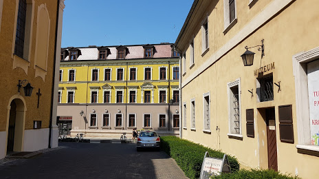
Attractions
Distance to the capital
Distance to the capital (Warsaw) is about — 252 km.