
 Olkusz
Lomza
Wadowice
Narew
Świdnik
Sieradz
Krotoszyn
Walbrzych
Brzesko
Nowy Sacz
Suwalki
Radom
Zamosc
Gniezno
Jaslo
Bełżyce
Ostrów
Sopot
Wieliczka
Olkusz
Lomza
Wadowice
Narew
Świdnik
Sieradz
Krotoszyn
Walbrzych
Brzesko
Nowy Sacz
Suwalki
Radom
Zamosc
Gniezno
Jaslo
Bełżyce
Ostrów
Sopot
Wieliczka
Andrychów on the map, Poland
Where is located Andrychów
Exact location — Andrychów, Wadowice County, Lesser Poland Voivodeship, Poland, marked on the map with a red marker.
Coordinates
Andrychów, Poland coordinates in decimal format: latitude — 49.8548934, longitude — 19.3412842. When converted to degrees, minutes, seconds Andrychów has the following coordinates: 49°51′17.62 north latitude and 19°20′28.62 east longitude.
Population
Andrychów, Wadowice County, Lesser Poland Voivodeship, Poland, according to our data the population is — 21,954 residents, which is about 0.1% of the total population of the country (Poland).
Comparison of the population on the graph:
Exact time
Time zone for this location Andrychów — UTC +2 Europe/Warsaw. Exact time — wednesday, 5 may 2024 year, 02 h. 00 minutes.
Sunrise and sunset
Andrychów, sunrise and sunset data for a date — wednesday 15.05.2024.
| Sunrise | Sunset | Day (duration) |
|---|---|---|
| 05:00 -1 minute | 20:17 +1 minute | 15 h. 18 minutes. +2 minutes |
You can control the scale of the map using the auxiliary tools to find out exactly where it is located Andrychów. When you change the scale of the map, the width of the ruler also changes (in kilometers and miles).
Nearby cities
The largest cities that are located nearby:
- Bielsko-Biala — 20 km
- Kraków — 49 km
- Sosnowiec — 51 km
- Katowice — 51 km
- Dabrowa Gornicza — 53 km
- Chorzow — 56 km
- Ruda Slaska — 56 km
- Bytom — 62 km
- Rybnik — 63 km
- Zabrze — 65 km
- Gliwice — 68 km
- Ostrava
 (Czech Republic) — 77 km
 - Częstochowa — 107 km
- Tarnow — 118 km
- Opole — 135 km
- Kielce — 143 km
- Olomouc (Czech Republic) — 153 km
- Košice
 (Slovakia) — 188 km
 - Rzeszow — 190 km
Distance to neighboring capitals:
- Bratislava (Slovakia) — 250 km
- Budapest
 (Hungary) — 263 km
 - Vienna
 (Austria) — 283 km
 - Prague (Czech Republic) — 352 km
- Berlin
 (Germany) — 509 km
 - Belgrade
 (Serbia) — 570 km
 - Vilnius
 (Lithuania) — 672 km
 - Minsk
 (Belarus) — 721 km
 - Bucharest
 (Romania) — 791 km
 - Copenhagen
 (Denmark) — 791 km
 - Kyiv
 (Ukraine) — 799 km
 - Rīga
 (Latvia) — 850 km
 - Bern
 (Switzerland) — 935 km
 - Amsterdam
 (Netherlands) — 1045 km
 - Helsinki
 (Finland) — 1201 km
 - Paris
 (France) — 1233 km
 - Moscow
 (Russia) — 1387 km
 - Tbilisi
 (Georgia) — 2157 km
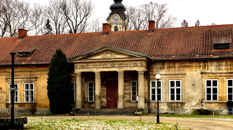
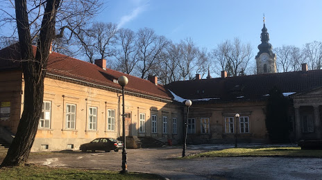
Attractions


Distance to the capital
Distance to the capital (Warsaw) is about — 289 km.