
 Borki
Wilkowice
Mikolow
Andrychów
Siedlce
Mielec
Kolobrzeg
Wabrzezno
Skoczów
Zakopane
Zabrze
Żary
Slupsk
Myslenice
Wolomin
Praszka
Stalowa Wola
Łomianki
Czechowice-Dziedzice
Borki
Wilkowice
Mikolow
Andrychów
Siedlce
Mielec
Kolobrzeg
Wabrzezno
Skoczów
Zakopane
Zabrze
Żary
Slupsk
Myslenice
Wolomin
Praszka
Stalowa Wola
Łomianki
Czechowice-Dziedzice
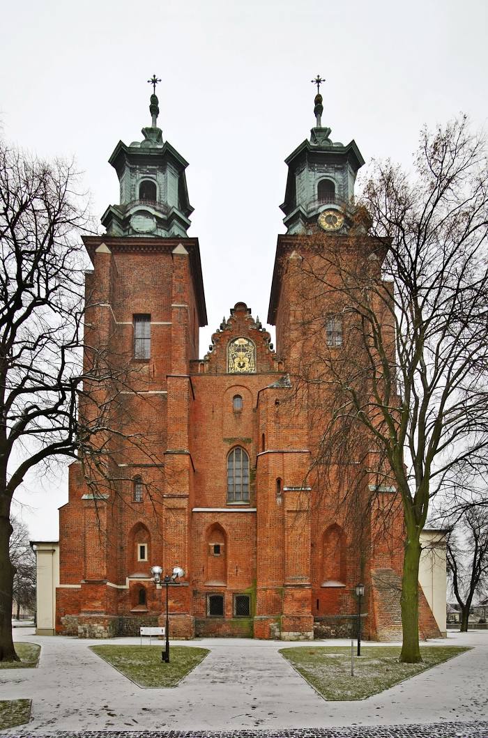
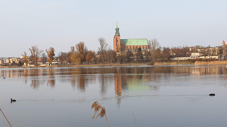
Gniezno on the map, Poland
Where is located Gniezno
Exact location — Gniezno, Gniezno County, Greater Poland Voivodeship, Poland, marked on the map with a red marker.
Coordinates
Gniezno, Poland coordinates in decimal format: latitude — 52.5349253, longitude — 17.5826575. When converted to degrees, minutes, seconds Gniezno has the following coordinates: 52°32′5.73 north latitude and 17°34′57.57 east longitude.
Population
Gniezno, Gniezno County, Greater Poland Voivodeship, Poland, according to our data the population is — 70,269 residents, which is about 0.2% of the total population of the country (Poland).
Comparison of the population on the graph:
Exact time
Time zone for this location Gniezno — UTC +2 Europe/Warsaw. Exact time — sunday, 4 april 2024 year, 21 h. 12 minutes.
Sunrise and sunset
Gniezno, sunrise and sunset data for a date — sunday 28.04.2024.
| Sunrise | Sunset | Day (duration) |
|---|---|---|
| 05:26 -2 minutes | 20:07 +2 minutes | 14 h. 42 minutes. +4 minutes |
You can control the scale of the map using the auxiliary tools to find out exactly where it is located Gniezno. When you change the scale of the map, the width of the ruler also changes (in kilometers and miles).
Nearby cities
The largest cities that are located nearby:
- Poznań — 47 km
- Bydgoszcz — 71 km
- Torun — 86 km
- Kalisz — 92 km
- Wloclawek — 100 km
- Plock — 143 km
- Łódź — 154 km
- Zielona Gora — 156 km
- Gorzów Wielkopolski — 159 km
- Wrocław — 162 km
- Legnica — 177 km
- Koszalin — 205 km
- Opole — 207 km
- Gdańsk — 212 km
- Walbrzych — 214 km
- Elblag — 215 km
- Częstochowa — 219 km
- Szczecin — 223 km
- Gdynia — 228 km
Distance to neighboring capitals:
- Berlin
 (Germany) — 283 km
 - Prague
 (Czech Republic) — 350 km
 - Copenhagen
 (Denmark) — 478 km
 - Vienna
 (Austria) — 489 km
 - Bratislava
 (Slovakia) — 489 km
 - Vilnius
 (Lithuania) — 561 km
 - Budapest
 (Hungary) — 570 km
 - Rīga
 (Latvia) — 645 km
 - Minsk
 (Belarus) — 681 km
 - Amsterdam
 (Netherlands) — 859 km
 - Belgrade
 (Serbia) — 887 km
 - Kyiv
 (Ukraine) — 924 km
 - Bern
 (Switzerland) — 956 km
 - Helsinki
 (Finland) — 962 km
 - Bucharest
 (Romania) — 1097 km
 - Paris
 (France) — 1146 km
 - Moscow
 (Russia) — 1348 km
 - Tbilisi
 (Georgia) — 2363 km
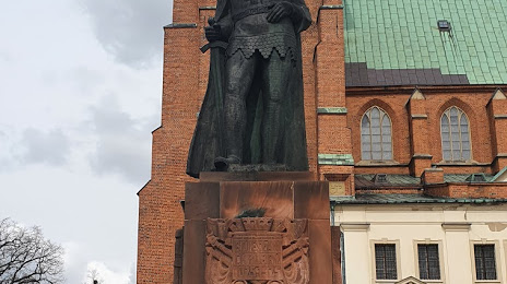
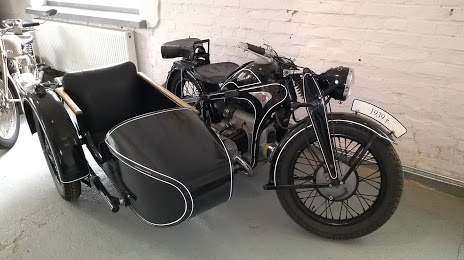
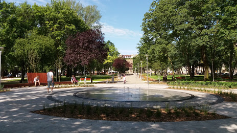
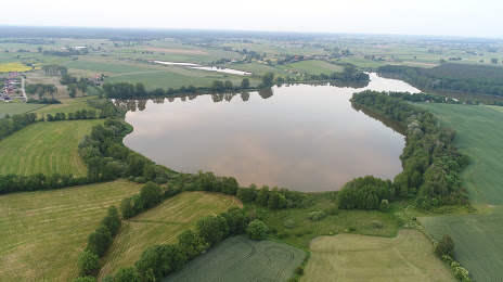
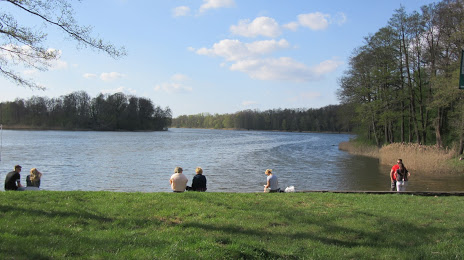
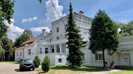
Attractions


Distance to the capital
Distance to the capital (Warsaw) is about — 235 km.