
 Sieradz
Krotoszyn
Walbrzych
Brzesko
Jastrzębie-Zdrój
Oswiecim
Dzierzoniow
Skawina
Pabianice
Zielona Gora
Dabrowa Gornicza
Zabierzów
Krosno
Biala Podlaska
Nowy Sacz
Suwalki
Radom
Zamosc
Gniezno
Sieradz
Krotoszyn
Walbrzych
Brzesko
Jastrzębie-Zdrój
Oswiecim
Dzierzoniow
Skawina
Pabianice
Zielona Gora
Dabrowa Gornicza
Zabierzów
Krosno
Biala Podlaska
Nowy Sacz
Suwalki
Radom
Zamosc
Gniezno
Skoczów on the map, Poland
Where is located Skoczów
Exact location — Skoczów, Cieszyn County, Silesian Voivodeship, Poland, marked on the map with a red marker.
Coordinates
Skoczów, Poland coordinates in decimal format: latitude — 49.8031512, longitude — 18.790762. When converted to degrees, minutes, seconds Skoczów has the following coordinates: 49°48′11.34 north latitude and 18°47′26.74 east longitude.
Population
Skoczów, Cieszyn County, Silesian Voivodeship, Poland, according to our data the population is — 14,810 residents, which is about 0% of the total population of the country (Poland).
Comparison of the population on the graph:
Exact time
Time zone for this location Skoczów — UTC +2 Europe/Warsaw. Exact time — tuesday, 5 may 2024 year, 06 h. 12 minutes.
Sunrise and sunset
Skoczów, sunrise and sunset data for a date — tuesday 14.05.2024.
| Sunrise | Sunset | Day (duration) |
|---|---|---|
| 05:04 -1 minute | 20:18 +2 minutes | 15 h. 12 minutes. +3 minutes |
You can control the scale of the map using the auxiliary tools to find out exactly where it is located Skoczów. When you change the scale of the map, the width of the ruler also changes (in kilometers and miles).
Nearby cities
The largest cities that are located nearby:
- Bielsko-Biala — 19 km
- Rybnik — 37 km
- Ostrava
 (Czech Republic) — 38 km
 - Ruda Slaska — 50 km
- Katowice — 54 km
- Gliwice — 55 km
- Chorzow — 56 km
- Zabrze — 58 km
- Sosnowiec — 58 km
- Bytom — 61 km
- Dabrowa Gornicza — 64 km
- Kraków — 87 km
- Olomouc (Czech Republic) — 113 km
- Częstochowa — 114 km
- Opole — 114 km
- Tarnow — 158 km
- Brno (Czech Republic) — 172 km
- Kielce — 174 km
- Wrocław — 189 km
Distance to neighboring capitals:
- Bratislava
 (Slovakia) — 222 km
 - Vienna
 (Austria) — 250 km
 - Budapest
 (Hungary) — 257 km
 - Prague (Czech Republic) — 313 km
- Berlin
 (Germany) — 482 km
 - Belgrade
 (Serbia) — 572 km
 - Vilnius
 (Lithuania) — 700 km
 - Minsk
 (Belarus) — 755 km
 - Copenhagen
 (Denmark) — 775 km
 - Bucharest
 (Romania) — 814 km
 - Kyiv
 (Ukraine) — 839 km
 - Rīga
 (Latvia) — 869 km
 - Bern
 (Switzerland) — 895 km
 - Amsterdam
 (Netherlands) — 1010 km
 - Paris
 (France) — 1194 km
 - Helsinki
 (Finland) — 1217 km
 - Moscow
 (Russia) — 1423 km
 - Tbilisi
 (Georgia) — 2194 km
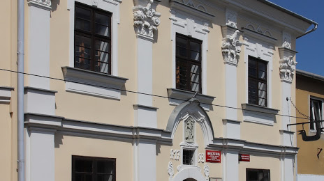
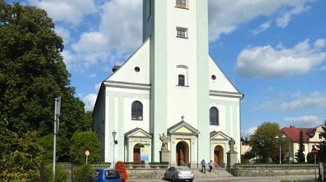
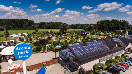
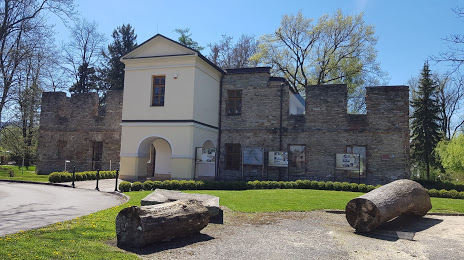
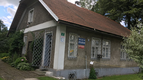
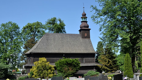
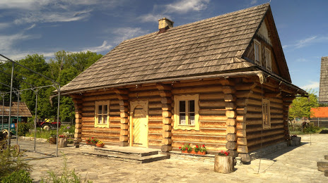
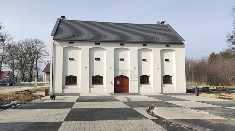
Attractions
Distance to the capital
Distance to the capital (Warsaw) is about — 311 km.