
 Kolobrzeg
Wabrzezno
Skoczów
Bytom
Tychy
Ciechanow
Ostrowiec
Bytów
Chelm
Wieliczka
Wronki
Lowicz
Lancut
Bochnia
Jelenia Góra
Zakopane
Zabrze
Żary
Slupsk
Kolobrzeg
Wabrzezno
Skoczów
Bytom
Tychy
Ciechanow
Ostrowiec
Bytów
Chelm
Wieliczka
Wronki
Lowicz
Lancut
Bochnia
Jelenia Góra
Zakopane
Zabrze
Żary
Slupsk
Krosno on the map, Poland
Where is located Krosno
Exact location — Krosno, Krosno County, Podkarpackie Voivodeship, Poland, marked on the map with a red marker.
Coordinates
Krosno, Poland coordinates in decimal format: latitude — 49.6824761, longitude — 21.7660531. When converted to degrees, minutes, seconds Krosno has the following coordinates: 49°40′56.91 north latitude and 21°45′57.79 east longitude.
Population
Krosno, Krosno County, Podkarpackie Voivodeship, Poland, according to our data the population is — 47,784 residents, which is about 0.1% of the total population of the country (Poland).
Comparison of the population on the graph:
Exact time
Time zone for this location Krosno — UTC +2 Europe/Warsaw. Exact time — monday, 4 april 2024 year, 09 h. 39 minutes.
Sunrise and sunset
Krosno, sunrise and sunset data for a date — monday 29.04.2024.
| Sunrise | Sunset | Day (duration) |
|---|---|---|
| 05:16 -2 minutes | 19:43 +1 minute | 14 h. 30 minutes. +3 minutes |
You can control the scale of the map using the auxiliary tools to find out exactly where it is located Krosno. When you change the scale of the map, the width of the ruler also changes (in kilometers and miles).
Nearby cities
The largest cities that are located nearby:
- Rzeszow — 43 km
- Tarnow — 66 km
- Košice
 (Slovakia) — 113 km
 - Uzhhorod
 (Ukraine) — 123 km
 - Kraków — 136 km
- Kielce — 153 km
- Lublin — 182 km
- Miskolc
 (Hungary) — 190 km
 - Nyíregyháza (Hungary) — 192 km
- Bielsko-Biala — 194 km
- Dabrowa Gornicza — 195 km
- Radom — 195 km
- Sosnowiec — 200 km
- Katowice — 204 km
- Chorzow — 210 km
- Bytom — 214 km
- Ruda Slaska — 215 km
- Zabrze — 222 km
- Częstochowa — 223 km
Distance to neighboring capitals:
- Budapest (Hungary) — 315 km
- Bratislava (Slovakia) — 381 km
- Vienna
 (Austria) — 427 km
 - Prague
 (Czech Republic) — 527 km
 - Belgrade
 (Serbia) — 554 km
 - Vilnius
 (Lithuania) — 606 km
 - Minsk
 (Belarus) — 616 km
 - Kyiv (Ukraine) — 631 km
- Berlin
 (Germany) — 663 km
 - Bucharest
 (Romania) — 670 km
 - Rīga
 (Latvia) — 823 km
 - Copenhagen
 (Denmark) — 909 km
 - Bern
 (Switzerland) — 1100 km
 - Helsinki
 (Finland) — 1184 km
 - Amsterdam
 (Netherlands) — 1214 km
 - Moscow
 (Russia) — 1259 km
 - Paris
 (France) — 1408 km
 - Tbilisi
 (Georgia) — 1985 km
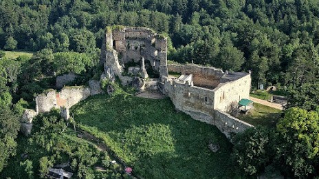
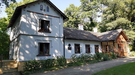
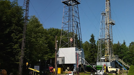
Attractions


Distance to the capital
Distance to the capital (Warsaw) is about — 288 km.