
 Narew
Świdnik
Sieradz
Krotoszyn
Walbrzych
Brzesko
Jastrzębie-Zdrój
Oswiecim
Dzierzoniow
Zabierzów
Krosno
Biala Podlaska
Nowy Sacz
Suwalki
Radom
Zamosc
Gniezno
Jaslo
Bełżyce
Narew
Świdnik
Sieradz
Krotoszyn
Walbrzych
Brzesko
Jastrzębie-Zdrój
Oswiecim
Dzierzoniow
Zabierzów
Krosno
Biala Podlaska
Nowy Sacz
Suwalki
Radom
Zamosc
Gniezno
Jaslo
Bełżyce
Kolobrzeg on the map, Poland
Where is located Kolobrzeg
Exact location — Kolobrzeg, Kołobrzeg County, West Pomeranian Voivodeship, Poland, marked on the map with a red marker.
Coordinates
Kolobrzeg, Poland coordinates in decimal format: latitude — 54.1759173, longitude — 15.5832667. When converted to degrees, minutes, seconds Kolobrzeg has the following coordinates: 54°10′33.3 north latitude and 15°34′59.76 east longitude.
Population
Kolobrzeg, Kołobrzeg County, West Pomeranian Voivodeship, Poland, according to our data the population is — 44,377 residents, which is about 0.1% of the total population of the country (Poland).
Comparison of the population on the graph:
Exact time
Time zone for this location Kolobrzeg — UTC +2 Europe/Warsaw. Exact time — saturday, 5 may 2024 year, 09 h. 06 minutes.
Sunrise and sunset
Kolobrzeg, sunrise and sunset data for a date — saturday 11.05.2024.
| Sunrise | Sunset | Day (duration) |
|---|---|---|
| 05:04 -2 minutes | 20:43 +2 minutes | 15 h. 42 minutes. +4 minutes |
You can control the scale of the map using the auxiliary tools to find out exactly where it is located Kolobrzeg. When you change the scale of the map, the width of the ruler also changes (in kilometers and miles).
Nearby cities
The largest cities that are located nearby:
- Koszalin — 38 km
- Szczecin — 107 km
- Gorzów Wielkopolski — 161 km
- Gdynia — 193 km
- Gdańsk — 198 km
- Bydgoszcz — 199 km
- Poznań — 216 km
- Malmö
 (Sweden) — 226 km
 - Rostock
 (Germany) — 226 km
 - Berlin (Germany) — 235 km
- Berlin (Germany) — 237 km
- Torun — 238 km
- Elblag — 247 km
- Zielona Gora — 248 km
- Copenhagen
 (Denmark) — 251 km
 - Potsdam (Germany) — 260 km
- Cottbus (Germany) — 281 km
- Wloclawek — 288 km
- Kalisz — 317 km
Distance to neighboring capitals:
- Berlin (Germany) — 234 km
- Copenhagen (Denmark) — 255 km
- Prague
 (Czech Republic) — 463 km
 - Rīga
 (Latvia) — 618 km
 - Vilnius
 (Lithuania) — 629 km
 - Vienna
 (Austria) — 666 km
 - Bratislava
 (Slovakia) — 679 km
 - Amsterdam
 (Netherlands) — 738 km
 - Budapest
 (Hungary) — 781 km
 - Minsk
 (Belarus) — 782 km
 - Helsinki
 (Finland) — 872 km
 - Bern
 (Switzerland) — 987 km
 - Paris
 (France) — 1088 km
 - Kyiv
 (Ukraine) — 1094 km
 - Belgrade
 (Serbia) — 1101 km
 - Bucharest
 (Romania) — 1323 km
 - Moscow
 (Russia) — 1412 km
 - Tbilisi
 (Georgia) — 2551 km
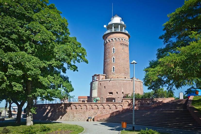
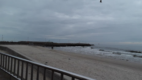
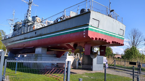
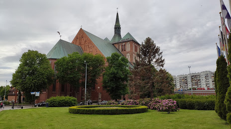
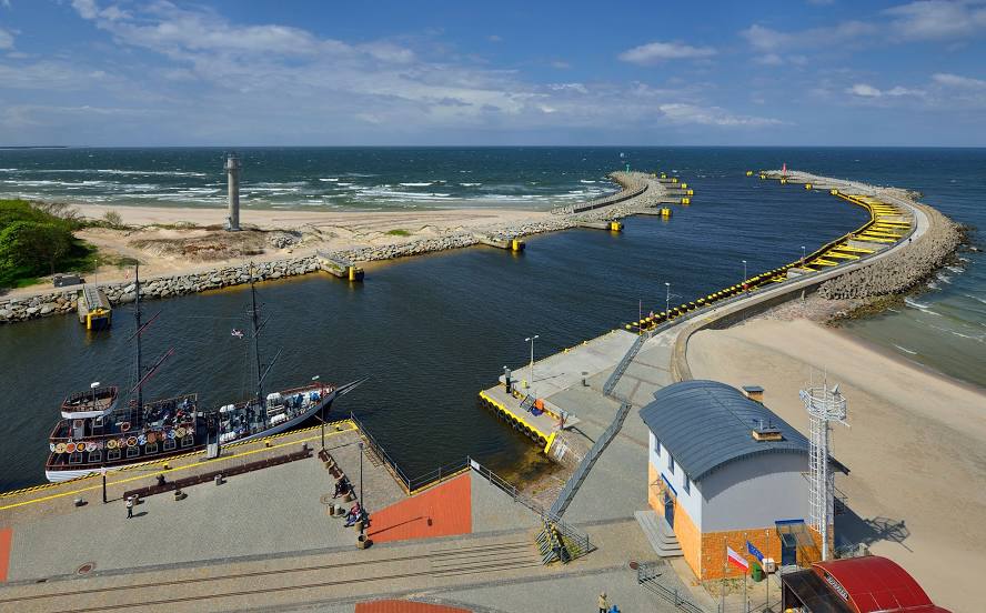
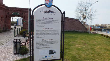
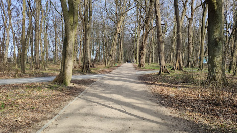
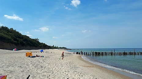
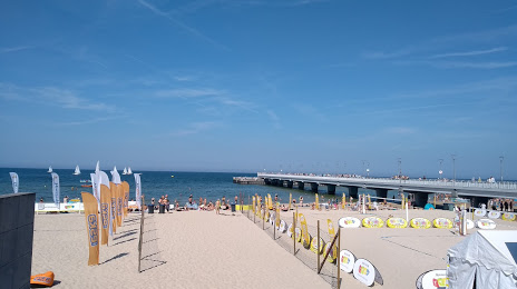
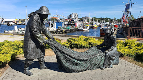
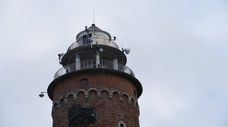
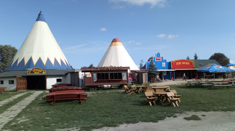
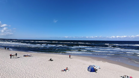
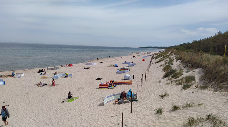
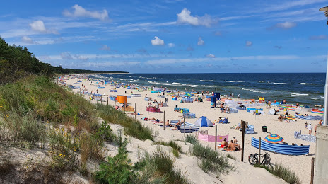
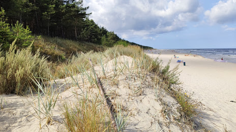
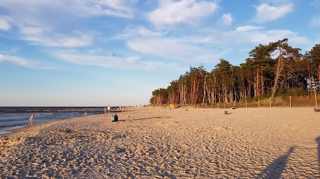
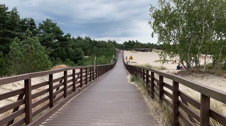
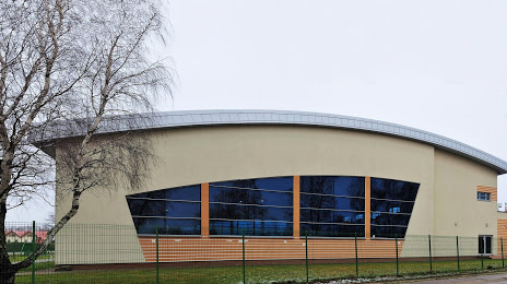
Attractions


Distance to the capital
Distance to the capital (Warsaw) is about — 421 km.