
 Bytom
Tychy
Ciechanow
Ostrowiec
Bytów
Chelm
Olkusz
Lomza
Wadowice
Bełżyce
Ostrów
Sopot
Wieliczka
Wronki
Lowicz
Lancut
Bochnia
Jelenia Góra
Zakopane
Bytom
Tychy
Ciechanow
Ostrowiec
Bytów
Chelm
Olkusz
Lomza
Wadowice
Bełżyce
Ostrów
Sopot
Wieliczka
Wronki
Lowicz
Lancut
Bochnia
Jelenia Góra
Zakopane
Zielona Gora on the map, Poland
Where is located Zielona Gora
Exact location — Zielona Gora, Zielona Gora, Lubusz Voivodeship, Poland, marked on the map with a red marker.
Coordinates
Zielona Gora, Poland coordinates in decimal format: latitude — 51.9356214, longitude — 15.5061862. When converted to degrees, minutes, seconds Zielona Gora has the following coordinates: 51°56′8.24 north latitude and 15°30′22.27 east longitude.
Population
Zielona Gora, Zielona Gora, Lubusz Voivodeship, Poland, according to our data the population is — 118,433 residents, which is about 0.3% of the total population of the country (Poland).
Comparison of the population on the graph:
Exact time
Time zone for this location Zielona Gora — UTC +2 Europe/Warsaw. Exact time — monday, 4 april 2024 year, 17 h. 40 minutes.
Sunrise and sunset
Zielona Gora, sunrise and sunset data for a date — monday 29.04.2024.
| Sunrise | Sunset | Day (duration) |
|---|---|---|
| 05:35 -2 minutes | 20:15 +2 minutes | 14 h. 42 minutes. +4 minutes |
You can control the scale of the map using the auxiliary tools to find out exactly where it is located Zielona Gora. When you change the scale of the map, the width of the ruler also changes (in kilometers and miles).
Nearby cities
The largest cities that are located nearby:
- Cottbus
 (Germany) — 83 km
 - Gorzów Wielkopolski — 90 km
- Legnica — 92 km
- Poznań — 109 km
- Walbrzych — 138 km
- Wrocław — 140 km
- Berlin (Germany) — 155 km
- Berlin (Germany) — 155 km
- Dresden (Germany) — 157 km
- Potsdam (Germany) — 172 km
- Szczecin — 177 km
- Kalisz — 177 km
- Bydgoszcz — 212 km
- Chemnitz (Germany) — 218 km
- Prague
 (Czech Republic) — 219 km
 - Opole — 219 km
- Leipzig (Germany) — 226 km
- Torun — 238 km
- Wloclawek — 252 km
Distance to neighboring capitals:
- Berlin (Germany) — 157 km
- Prague (Czech Republic) — 220 km
- Vienna
 (Austria) — 419 km
 - Bratislava
 (Slovakia) — 437 km
 - Copenhagen
 (Denmark) — 459 km
 - Budapest
 (Hungary) — 555 km
 - Vilnius
 (Lithuania) — 717 km
 - Amsterdam
 (Netherlands) — 725 km
 - Rīga
 (Latvia) — 787 km
 - Bern
 (Switzerland) — 804 km
 - Minsk
 (Belarus) — 836 km
 - Belgrade
 (Serbia) — 875 km
 - Paris
 (France) — 992 km
 - Kyiv
 (Ukraine) — 1058 km
 - Helsinki
 (Finland) — 1085 km
 - Bucharest
 (Romania) — 1145 km
 - Moscow
 (Russia) — 1504 km
 - Tbilisi
 (Georgia) — 2478 km
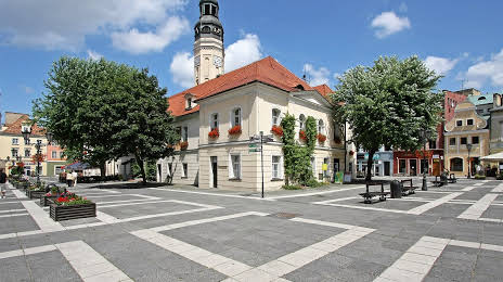
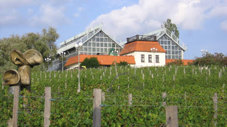
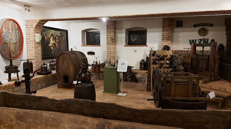
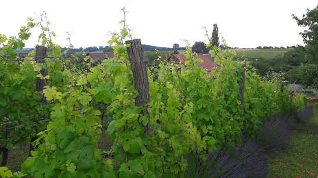
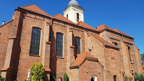
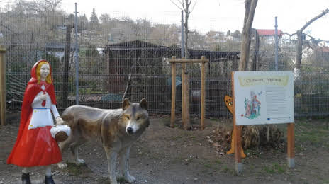
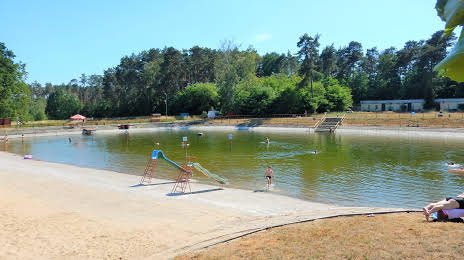
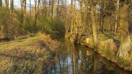
Attractions


Distance to the capital
Distance to the capital (Warsaw) is about — 378 km.