
 Dabrowa Gornicza
Zielona Gora
Boleslawiec
Lukow
Borki
Wilkowice
Mikolow
Andrychów
Siedlce
Myslenice
Wolomin
Praszka
Stalowa Wola
Łomianki
Czechowice-Dziedzice
Kwidzyn
Częstochowa
Łaziska Górne
Olecko
Dabrowa Gornicza
Zielona Gora
Boleslawiec
Lukow
Borki
Wilkowice
Mikolow
Andrychów
Siedlce
Myslenice
Wolomin
Praszka
Stalowa Wola
Łomianki
Czechowice-Dziedzice
Kwidzyn
Częstochowa
Łaziska Górne
Olecko
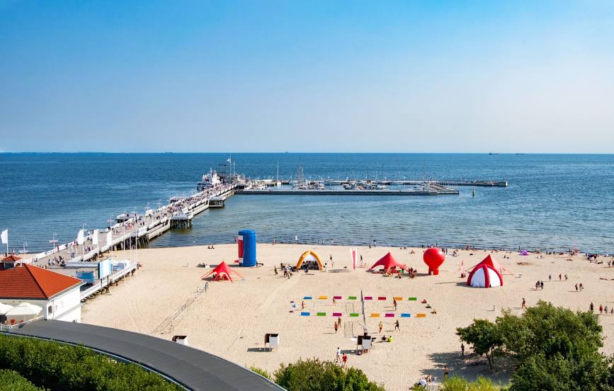
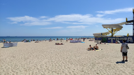
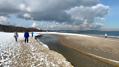
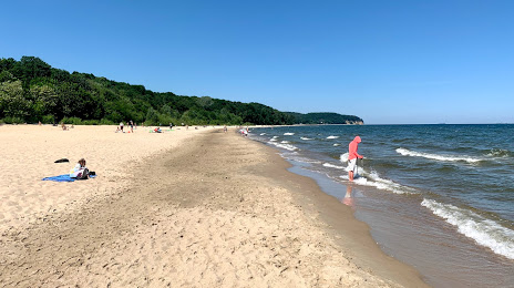
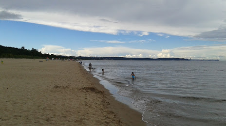
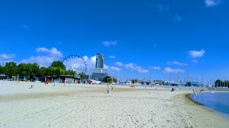
Sopot on the map, Poland
Where is located Sopot
Exact location — Sopot, Sopot, Pomeranian Voivodeship, Poland, marked on the map with a red marker.
Coordinates
Sopot, Poland coordinates in decimal format: latitude — 54.441581, longitude — 18.5600956. When converted to degrees, minutes, seconds Sopot has the following coordinates: 54°26′29.69 north latitude and 18°33′36.34 east longitude.
Population
Sopot, Sopot, Pomeranian Voivodeship, Poland, according to our data the population is — 40,142 residents, which is about 0.1% of the total population of the country (Poland).
Comparison of the population on the graph:
Exact time
Time zone for this location Sopot — UTC +2 Europe/Warsaw. Exact time — saturday, 5 may 2024 year, 02 h. 04 minutes.
Sunrise and sunset
Sopot, sunrise and sunset data for a date — saturday 4.05.2024.
| Sunrise | Sunset | Day (duration) |
|---|---|---|
| 05:04 -2 minutes | 20:20 +2 minutes | 15 h. 18 minutes. +4 minutes |
You can control the scale of the map using the auxiliary tools to find out exactly where it is located Sopot. When you change the scale of the map, the width of the ruler also changes (in kilometers and miles).
Nearby cities
The largest cities that are located nearby:
- Gdynia — 9 km
- Gdańsk — 11 km
- Elblag — 63 km
- Kaliningrad
 (Russia) — 129 km
 - Olsztyn — 145 km
- Bydgoszcz — 150 km
- Koszalin — 157 km
- Torun — 158 km
- Wloclawek — 201 km
- Klaipėda
 (Lithuania) — 213 km
 - Plock — 223 km
- Poznań — 251 km
- Szczecin — 287 km
- Gorzów Wielkopolski — 292 km
- Kalisz — 297 km
- Łódź — 303 km
- Šiauliai (Lithuania) — 338 km
- Bialystok — 338 km
- Kaunas (Lithuania) — 343 km
Distance to neighboring capitals:
- Berlin
 (Germany) — 402 km
 - Copenhagen
 (Denmark) — 405 km
 - Vilnius (Lithuania) — 434 km
- Rīga
 (Latvia) — 445 km
 - Prague
 (Czech Republic) — 561 km
 - Minsk
 (Belarus) — 589 km
 - Bratislava
 (Slovakia) — 707 km
 - Vienna
 (Austria) — 710 km
 - Helsinki
 (Finland) — 743 km
 - Budapest
 (Hungary) — 773 km
 - Kyiv
 (Ukraine) — 923 km
 - Amsterdam
 (Netherlands) — 933 km
 - Belgrade
 (Serbia) — 1082 km
 - Bern
 (Switzerland) — 1141 km
 - Moscow (Russia) — 1218 km
- Bucharest
 (Romania) — 1239 km
 - Paris
 (France) — 1275 km
 - Tbilisi
 (Georgia) — 2385 km
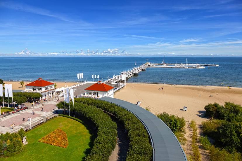
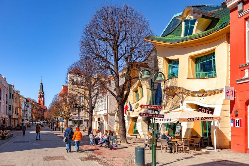
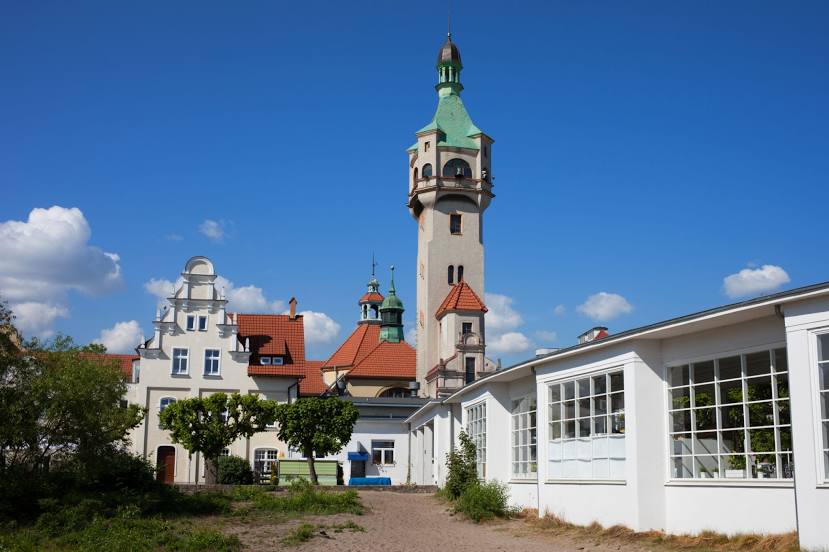
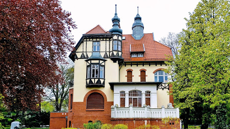
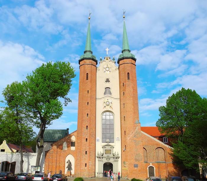
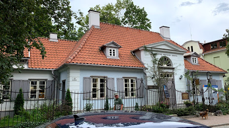
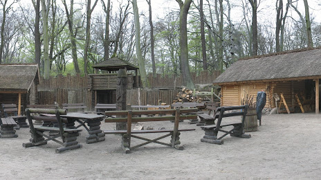
Attractions


Distance to the capital
Distance to the capital (Warsaw) is about — 295 km.