
 Jelenia Góra
Bochnia
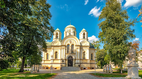
Lancut
Lowicz
Wronki
Wieliczka
Sopot
Ostrów
Bełżyce
Plock
Olsztyn
Gdynia
Bydgoszcz
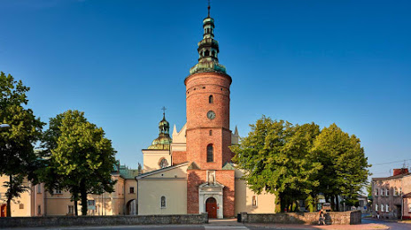
Kielce
Koszalin
Szczytno
Krzeszowice
Legnica
Janów
Jelenia Góra
Bochnia
Lancut
Lowicz
Wronki
Wieliczka
Sopot
Ostrów
Bełżyce
Plock
Olsztyn
Gdynia
Bydgoszcz
Kielce
Koszalin
Szczytno
Krzeszowice
Legnica
Janów
Częstochowa on the map, Poland
Where is located Częstochowa
Exact location — Częstochowa, Częstochowa County, Silesian Voivodeship, Poland, marked on the map with a red marker.
Coordinates
Częstochowa, Poland coordinates in decimal format: latitude — 50.8118195, longitude — 19.1203094. When converted to degrees, minutes, seconds Częstochowa has the following coordinates: 50°48′42.55 north latitude and 19°7′13.11 east longitude.
Population
Częstochowa, Częstochowa County, Silesian Voivodeship, Poland, according to our data the population is — 248,125 residents, which is about 0.7% of the total population of the country (Poland).
Comparison of the population on the graph:
Exact time
Time zone for this location Częstochowa — UTC +2 Europe/Warsaw. Exact time — monday, 4 april 2024 year, 15 h. 08 minutes.
Sunrise and sunset
Częstochowa, sunrise and sunset data for a date — monday 29.04.2024.
| Sunrise | Sunset | Day (duration) |
|---|---|---|
| 05:23 -2 minutes | 19:57 +1 minute | 14 h. 36 minutes. +3 minutes |
You can control the scale of the map using the auxiliary tools to find out exactly where it is located Częstochowa. When you change the scale of the map, the width of the ruler also changes (in kilometers and miles).
Nearby cities
The largest cities that are located nearby:
- Bytom — 53 km
- Dabrowa Gornicza — 54 km
- Chorzow — 58 km
- Sosnowiec — 58 km
- Zabrze — 59 km
- Katowice — 61 km
- Ruda Slaska — 64 km
- Gliwice — 65 km
- Opole — 85 km
- Rybnik — 88 km
- Kraków — 101 km
- Kielce — 105 km
- Łódź — 107 km
- Bielsko-Biala — 109 km
- Ostrava
 (Czech Republic) — 125 km
 - Kalisz — 127 km
- Wrocław — 148 km
- Radom — 154 km
- Tarnow — 159 km
Distance to neighboring capitals:
- Bratislava
 (Slovakia) — 330 km
 - Prague (Czech Republic) — 342 km
- Vienna
 (Austria) — 351 km
 - Budapest
 (Hungary) — 369 km
 - Berlin
 (Germany) — 438 km
 - Vilnius
 (Lithuania) — 598 km
 - Minsk
 (Belarus) — 668 km
 - Belgrade
 (Serbia) — 677 km
 - Copenhagen
 (Denmark) — 694 km
 - Rīga
 (Latvia) — 756 km
 - Kyiv
 (Ukraine) — 805 km
 - Bucharest
 (Romania) — 881 km
 - Bern
 (Switzerland) — 955 km
 - Amsterdam
 (Netherlands) — 996 km
 - Helsinki
 (Finland) — 1103 km
 - Paris
 (France) — 1220 km
 - Moscow
 (Russia) — 1342 km
 - Tbilisi
 (Georgia) — 2202 km
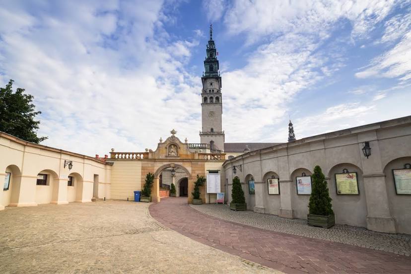
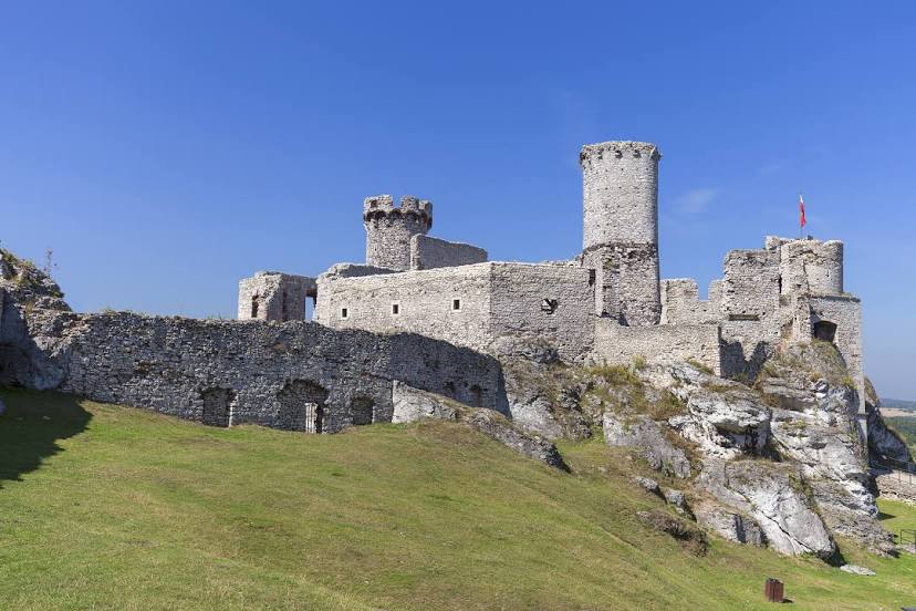
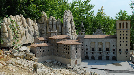
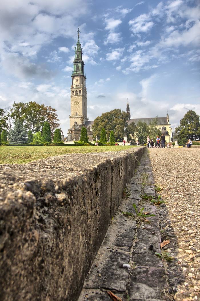
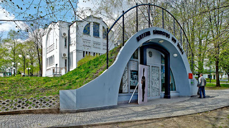
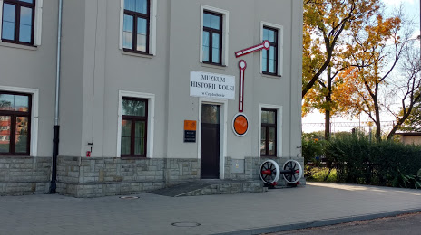
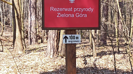
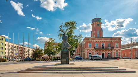
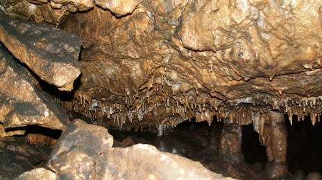
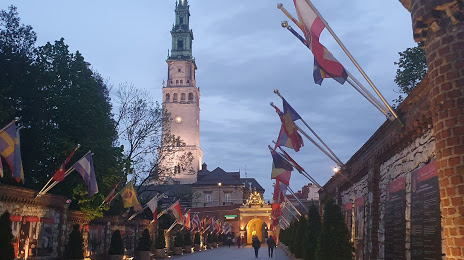
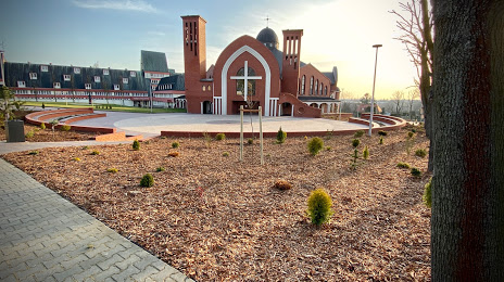
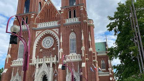
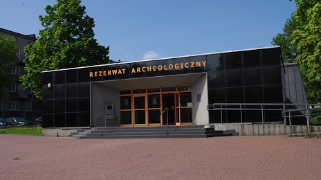
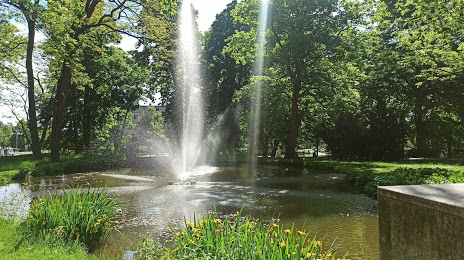
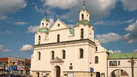
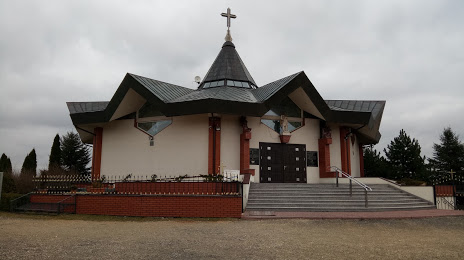
Attractions


Distance to the capital
Distance to the capital (Warsaw) is about — 205 km.