
 Konin
Ostrow Wielkopolski
Kalisz
Olecko
Łaziska Górne
Częstochowa
Kwidzyn
Czechowice-Dziedzice
Łomianki
Sokolniki
Proszowice
Gorzów Wielkopolski
Katowice
Wrocław
Łódź
Piotrków Trybunalski
Elblag
Torun
Leszno
Konin
Ostrow Wielkopolski
Kalisz
Olecko
Łaziska Górne
Częstochowa
Kwidzyn
Czechowice-Dziedzice
Łomianki
Sokolniki
Proszowice
Gorzów Wielkopolski
Katowice
Wrocław
Łódź
Piotrków Trybunalski
Elblag
Torun
Leszno
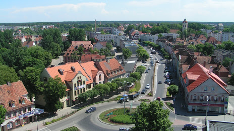
Szczytno on the map, Poland
Where is located Szczytno
Exact location — Szczytno, Szczytno County, Warmian-Masurian Voivodeship, Poland, marked on the map with a red marker.
Coordinates
Szczytno, Poland coordinates in decimal format: latitude — 53.56354, longitude — 20.99519. When converted to degrees, minutes, seconds Szczytno has the following coordinates: 53°33′48.74 north latitude and 20°59′42.68 east longitude.
Population
Szczytno, Szczytno County, Warmian-Masurian Voivodeship, Poland, according to our data the population is — 26,044 residents, which is about 0.1% of the total population of the country (Poland).
Comparison of the population on the graph:
Exact time
Time zone for this location Szczytno — UTC +2 Europe/Warsaw. Exact time — friday, 4 april 2024 year, 12 h. 17 minutes.
Sunrise and sunset
Szczytno, sunrise and sunset data for a date — friday 26.04.2024.
| Sunrise | Sunset | Day (duration) |
|---|---|---|
| 05:14 -2 minutes | 19:53 +2 minutes | 14 h. 42 minutes. +4 minutes |
You can control the scale of the map using the auxiliary tools to find out exactly where it is located Szczytno. When you change the scale of the map, the width of the ruler also changes (in kilometers and miles).
Nearby cities
The largest cities that are located nearby:
- Olsztyn — 41 km
- Elblag — 122 km
- Kaliningrad
 (Russia) — 131 km
 - Plock — 142 km
- Bialystok — 152 km
- Wloclawek — 164 km
- Torun — 171 km
- Gdańsk — 175 km
- Gdynia — 190 km
- Bydgoszcz — 204 km
- Łódź — 226 km
- Kaunas
 (Lithuania) — 237 km
 - Klaipėda (Lithuania) — 237 km
- Radom — 239 km
- Brest
 (Belarus) — 247 km
 - Lublin — 278 km
- Kalisz — 281 km
- Šiauliai (Lithuania) — 299 km
- Kielce — 299 km
Distance to neighboring capitals:
- Vilnius (Lithuania) — 306 km
- Rīga
 (Latvia) — 425 km
 - Minsk (Belarus) — 434 km
- Berlin
 (Germany) — 520 km
 - Copenhagen
 (Denmark) — 591 km
 - Prague
 (Czech Republic) — 594 km
 - Bratislava
 (Slovakia) — 661 km
 - Vienna
 (Austria) — 678 km
 - Budapest
 (Hungary) — 689 km
 - Kyiv
 (Ukraine) — 738 km
 - Helsinki
 (Finland) — 773 km
 - Belgrade
 (Serbia) — 977 km
 - Bucharest
 (Romania) — 1082 km
 - Amsterdam
 (Netherlands) — 1084 km
 - Moscow (Russia) — 1094 km
- Bern
 (Switzerland) — 1209 km
 - Paris
 (France) — 1395 km
 - Tbilisi
 (Georgia) — 2199 km
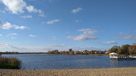
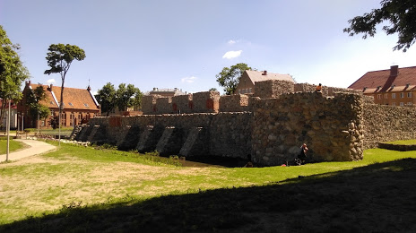
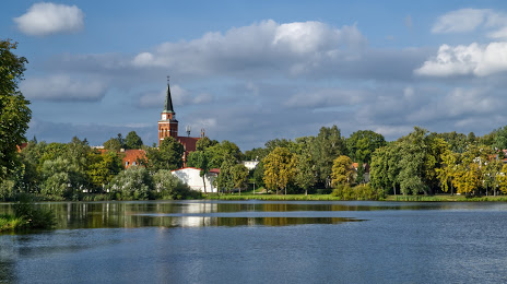
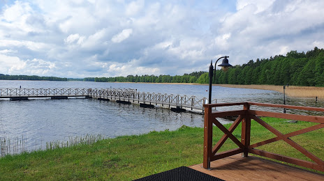
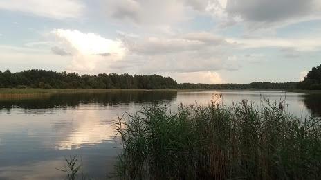
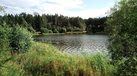
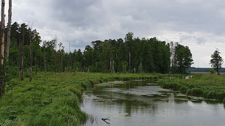
Attractions

Distance to the capital
Distance to the capital (Warsaw) is about — 148 km.