
 Myslenice
Slupsk
Żary
Zabrze
Zakopane
Jelenia Góra
Bochnia
Lancut
Lowicz
Koszalin
Szczytno
Krzeszowice
Legnica
Janów
Stoczek Łukowski
Gliwice
Przasnysz
Lublin
Kolno
Myslenice
Slupsk
Żary
Zabrze
Zakopane
Jelenia Góra
Bochnia
Lancut
Lowicz
Koszalin
Szczytno
Krzeszowice
Legnica
Janów
Stoczek Łukowski
Gliwice
Przasnysz
Lublin
Kolno
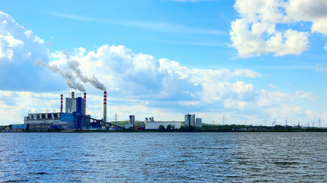
Konin on the map, Poland
Where is located Konin
Exact location — Konin, Konin County, Greater Poland Voivodeship, Poland, marked on the map with a red marker.
Coordinates
Konin, Poland coordinates in decimal format: latitude — 52.2230334, longitude — 18.2510729. When converted to degrees, minutes, seconds Konin has the following coordinates: 52°13′22.92 north latitude and 18°15′3.86 east longitude.
Population
Konin, Konin County, Greater Poland Voivodeship, Poland, according to our data the population is — 81,258 residents, which is about 0.2% of the total population of the country (Poland).
Comparison of the population on the graph:
Exact time
Time zone for this location Konin — UTC +2 Europe/Warsaw. Exact time — monday, 4 april 2024 year, 02 h. 45 minutes.
Sunrise and sunset
Konin, sunrise and sunset data for a date — monday 29.04.2024.
| Sunrise | Sunset | Day (duration) |
|---|---|---|
| 05:23 -2 minutes | 20:05 +2 minutes | 14 h. 42 minutes. +4 minutes |
You can control the scale of the map using the auxiliary tools to find out exactly where it is located Konin. When you change the scale of the map, the width of the ruler also changes (in kilometers and miles).
Nearby cities
The largest cities that are located nearby:
- Kalisz — 52 km
- Wloclawek — 72 km
- Torun — 90 km
- Poznań — 92 km
- Łódź — 97 km
- Bydgoszcz — 101 km
- Plock — 104 km
- Wrocław — 149 km
- Częstochowa — 167 km
- Opole — 173 km
- Legnica — 184 km
- Zielona Gora — 190 km
- Gorzów Wielkopolski — 210 km
- Walbrzych — 210 km
- Bytom — 212 km
- Zabrze — 213 km
- Gliwice — 215 km
- Chorzow — 219 km
- Radom — 219 km
Distance to neighboring capitals:
- Berlin
 (Germany) — 331 km
 - Prague
 (Czech Republic) — 357 km
 - Bratislava
 (Slovakia) — 461 km
 - Vienna
 (Austria) — 466 km
 - Budapest
 (Hungary) — 529 km
 - Copenhagen
 (Denmark) — 534 km
 - Vilnius
 (Lithuania) — 540 km
 - Rīga
 (Latvia) — 647 km
 - Minsk
 (Belarus) — 649 km
 - Belgrade
 (Serbia) — 843 km
 - Kyiv
 (Ukraine) — 874 km
 - Amsterdam
 (Netherlands) — 907 km
 - Bern
 (Switzerland) — 974 km
 - Helsinki
 (Finland) — 975 km
 - Bucharest
 (Romania) — 1042 km
 - Paris
 (France) — 1182 km
 - Moscow
 (Russia) — 1321 km
 - Tbilisi
 (Georgia) — 2309 km
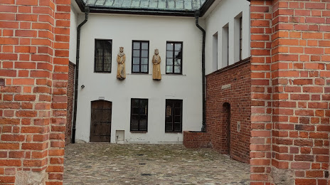
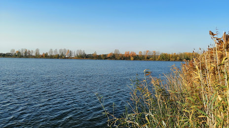
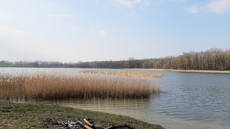
Attractions


Distance to the capital
Distance to the capital (Warsaw) is about — 188 km.