
 Olsztyn
Plock
Ostroleka
Opole
Szczecin
Annopol
Bialystok
Konin
Ostrow Wielkopolski
Elblag
Torun
Leszno
Tarnow
Kraków
Klodzko
Bielsko-Biala
Ustroń
Rybnik
Gorlice
Olsztyn
Plock
Ostroleka
Opole
Szczecin
Annopol
Bialystok
Konin
Ostrow Wielkopolski
Elblag
Torun
Leszno
Tarnow
Kraków
Klodzko
Bielsko-Biala
Ustroń
Rybnik
Gorlice
Lublin on the map, Poland
Where is located Lublin
Exact location — Lublin, Lublin County, Lublin Voivodeship, Poland, marked on the map with a red marker.
Coordinates
Lublin, Poland coordinates in decimal format: latitude — 51.2464536, longitude — 22.5684463. When converted to degrees, minutes, seconds Lublin has the following coordinates: 51°14′47.23 north latitude and 22°34′6.41 east longitude.
Population
Lublin, Lublin County, Lublin Voivodeship, Poland, according to our data the population is — 360,044 residents, which is about 1% of the total population of the country (Poland).
Comparison of the population on the graph:
Exact time
Time zone for this location Lublin — UTC +2 Europe/Warsaw. Exact time — friday, 4 april 2024 year, 06 h. 46 minutes.
Sunrise and sunset
Lublin, sunrise and sunset data for a date — friday 26.04.2024.
| Sunrise | Sunset | Day (duration) |
|---|---|---|
| 05:14 -2 minutes | 19:40 +2 minutes | 14 h. 24 minutes. +4 minutes |
You can control the scale of the map using the auxiliary tools to find out exactly where it is located Lublin. When you change the scale of the map, the width of the ruler also changes (in kilometers and miles).
Nearby cities
The largest cities that are located nearby:
- Radom — 100 km
- Brest
 (Belarus) — 123 km
 - Rzeszow — 139 km
- Kielce — 142 km
- Tarnow — 177 km
- Bialystok — 212 km
- Łódź — 220 km
- Kraków — 227 km
- Plock — 240 km
- Częstochowa — 246 km
- Pinsk (Belarus) — 257 km
- Dabrowa Gornicza — 259 km
- Sosnowiec — 267 km
- Rivne
 (Ukraine) — 268 km
 - Katowice — 273 km
- Chorzow — 276 km
- Bytom — 276 km
- Wloclawek — 281 km
- Ruda Slaska — 284 km
Distance to neighboring capitals:
- Vilnius
 (Lithuania) — 424 km
 - Minsk (Belarus) — 448 km
- Budapest
 (Hungary) — 489 km
 - Bratislava
 (Slovakia) — 523 km
 - Vienna
 (Austria) — 559 km
 - Kyiv (Ukraine) — 565 km
- Prague
 (Czech Republic) — 588 km
 - Rīga
 (Latvia) — 642 km
 - Berlin
 (Germany) — 644 km
 - Belgrade
 (Serbia) — 736 km
 - Bucharest
 (Romania) — 803 km
 - Copenhagen
 (Denmark) — 824 km
 - Helsinki
 (Finland) — 1004 km
 - Moscow
 (Russia) — 1112 km
 - Bern
 (Switzerland) — 1198 km
 - Amsterdam
 (Netherlands) — 1219 km
 - Paris
 (France) — 1463 km
 - Tbilisi
 (Georgia) — 1993 km
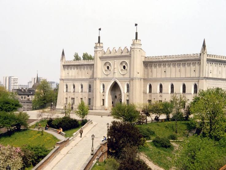
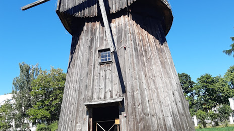
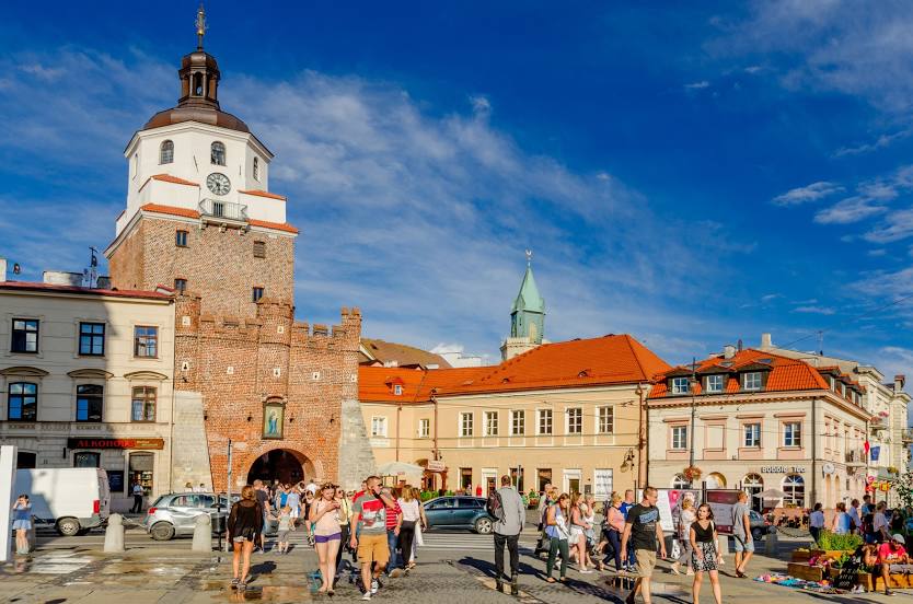
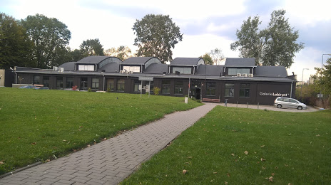
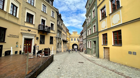
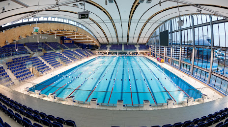
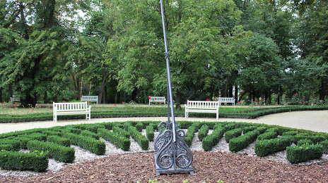
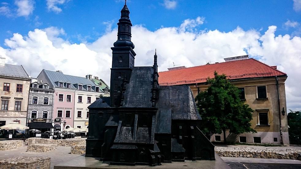
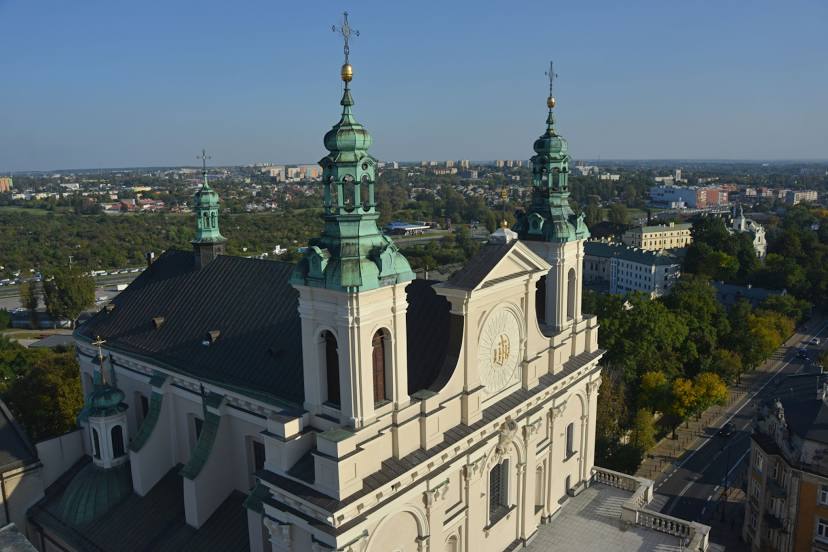
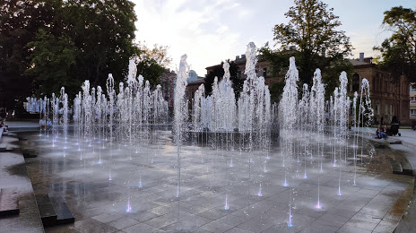
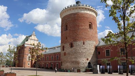
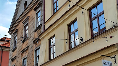
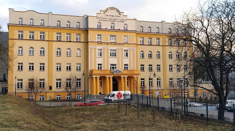
Attractions


Distance to the capital
Distance to the capital (Warsaw) is about — 153 km.