
 Miastkowo
Rutki
Kolno
Lublin
Przasnysz
Gliwice
Stoczek Łukowski
Janów
Legnica
Miastkowo
Rutki
Kolno
Lublin
Przasnysz
Gliwice
Stoczek Łukowski
Janów
Legnica
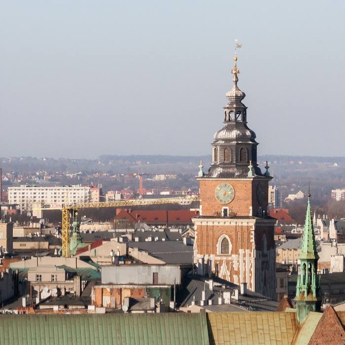
Kraków on the map, Poland
Where is located Kraków
Exact location — Kraków, Kraków County, Lesser Poland Voivodeship, Poland, marked on the map with a red marker.
Coordinates
Kraków, Poland coordinates in decimal format: latitude — 50.0646501, longitude — 19.9449799. When converted to degrees, minutes, seconds Kraków has the following coordinates: 50°3′52.74 north latitude and 19°56′41.93 east longitude.
Population
Kraków, Kraków County, Lesser Poland Voivodeship, Poland, according to our data the population is — 755,050 residents, which is about 2% of the total population of the country (Poland).
Comparison of the population on the graph:
Exact time
Time zone for this location Kraków — UTC +2 Europe/Warsaw. Exact time — sunday, 5 may 2024 year, 13 h. 05 minutes.
Sunrise and sunset
Kraków, sunrise and sunset data for a date — sunday 5.05.2024.
| Sunrise | Sunset | Day (duration) |
|---|---|---|
| 05:12 -2 minutes | 20:01 +2 minutes | 14 h. 48 minutes. +4 minutes |
You can control the scale of the map using the auxiliary tools to find out exactly where it is located Kraków. When you change the scale of the map, the width of the ruler also changes (in kilometers and miles).
Nearby cities
The largest cities that are located nearby:
- Dabrowa Gornicza — 60 km
- Sosnowiec — 64 km
- Bielsko-Biala — 69 km
- Katowice — 69 km
- Tarnow — 74 km
- Chorzow — 75 km
- Bytom — 79 km
- Ruda Slaska — 80 km
- Zabrze — 87 km
- Gliwice — 93 km
- Rybnik — 99 km
- Kielce — 101 km
- Częstochowa — 101 km
- Ostrava
 (Czech Republic) — 123 km
 - Rzeszow — 146 km
- Opole — 157 km
- Radom — 170 km
- Košice
 (Slovakia) — 177 km
 - Łódź — 190 km
Distance to neighboring capitals:
- Budapest
 (Hungary) — 293 km
 - Bratislava (Slovakia) — 297 km
- Vienna
 (Austria) — 332 km
 - Prague (Czech Republic) — 393 km
- Berlin
 (Germany) — 530 km
 - Belgrade
 (Serbia) — 588 km
 - Vilnius
 (Lithuania) — 629 km
 - Minsk
 (Belarus) — 674 km
 - Kyiv
 (Ukraine) — 753 km
 - Bucharest
 (Romania) — 780 km
 - Copenhagen
 (Denmark) — 796 km
 - Rīga
 (Latvia) — 813 km
 - Bern
 (Switzerland) — 983 km
 - Amsterdam
 (Netherlands) — 1077 km
 - Helsinki
 (Finland) — 1168 km
 - Paris
 (France) — 1276 km
 - Moscow
 (Russia) — 1338 km
 - Tbilisi
 (Georgia) — 2122 km
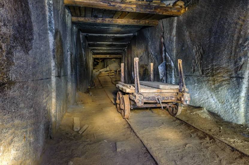
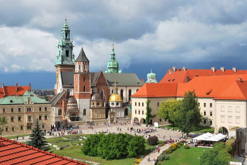
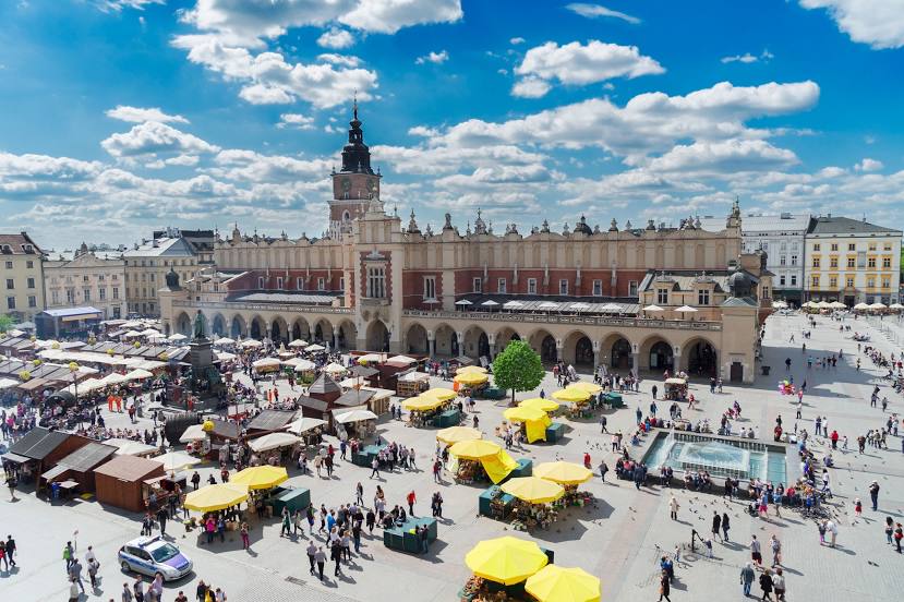
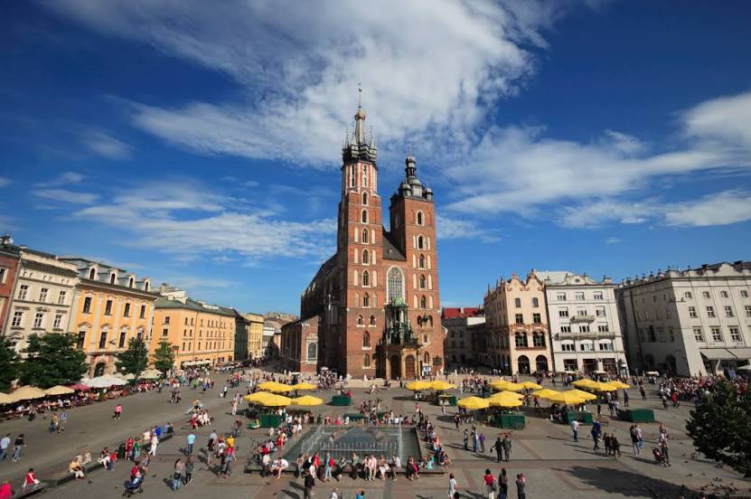
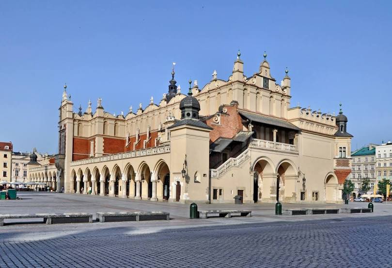
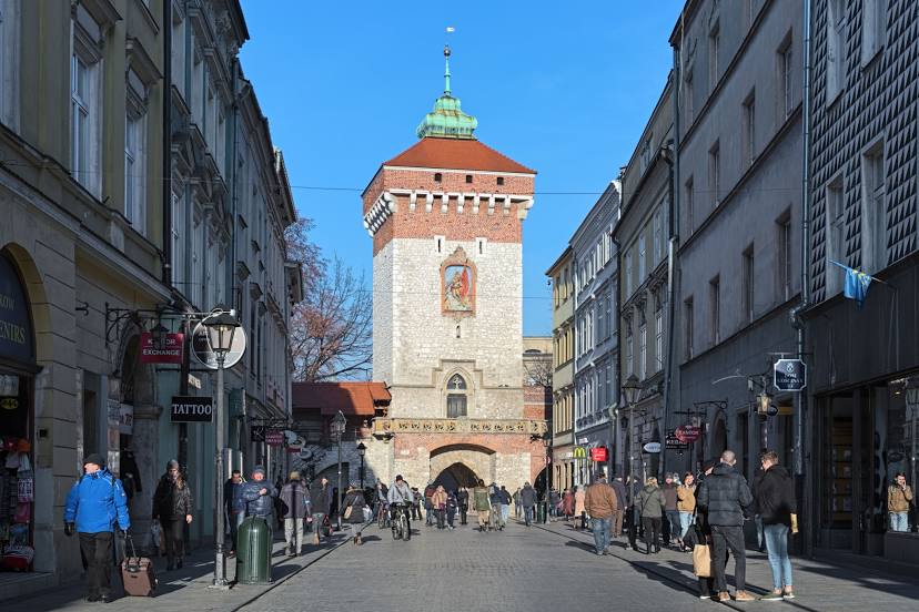
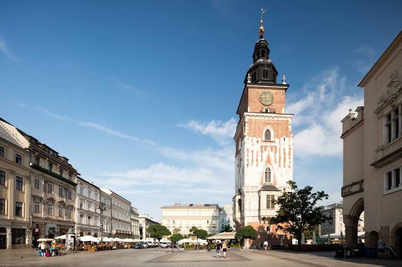
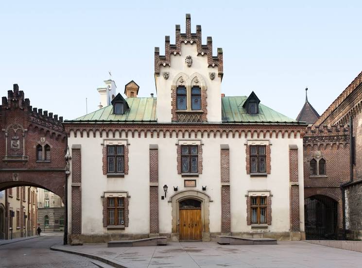
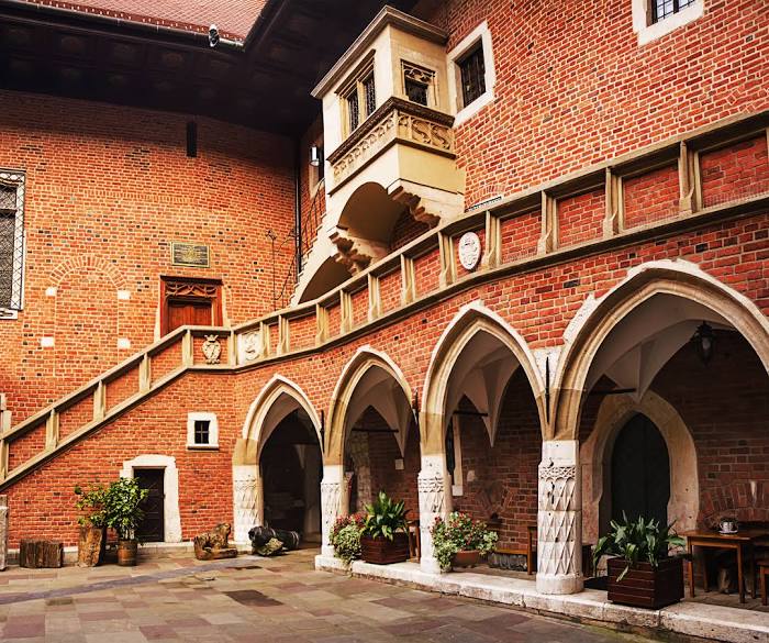
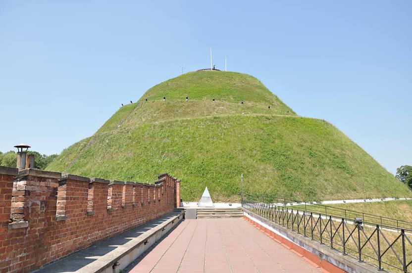
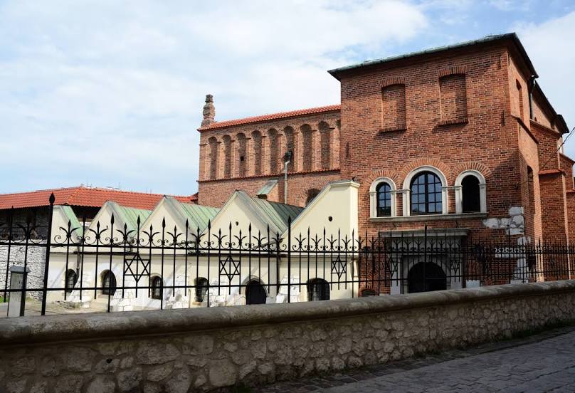
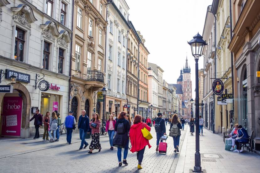
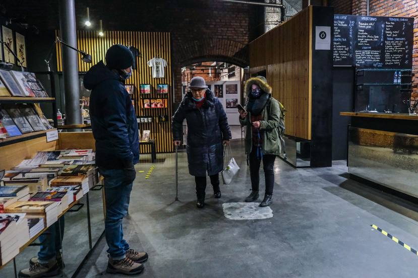
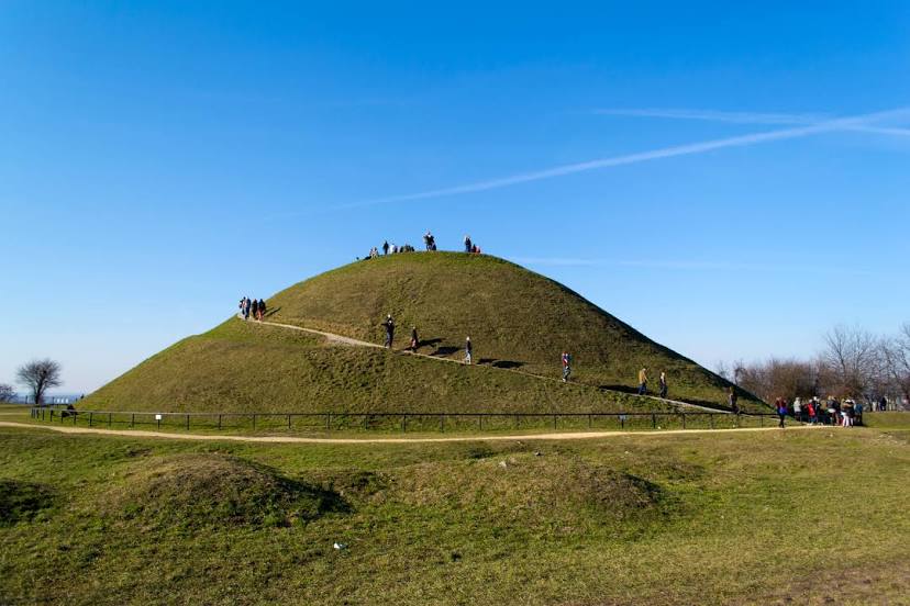
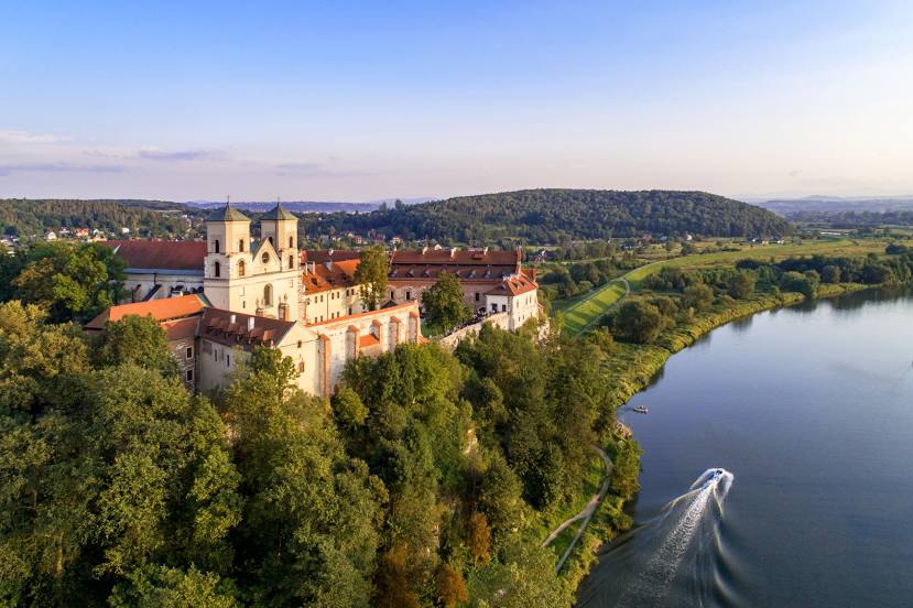
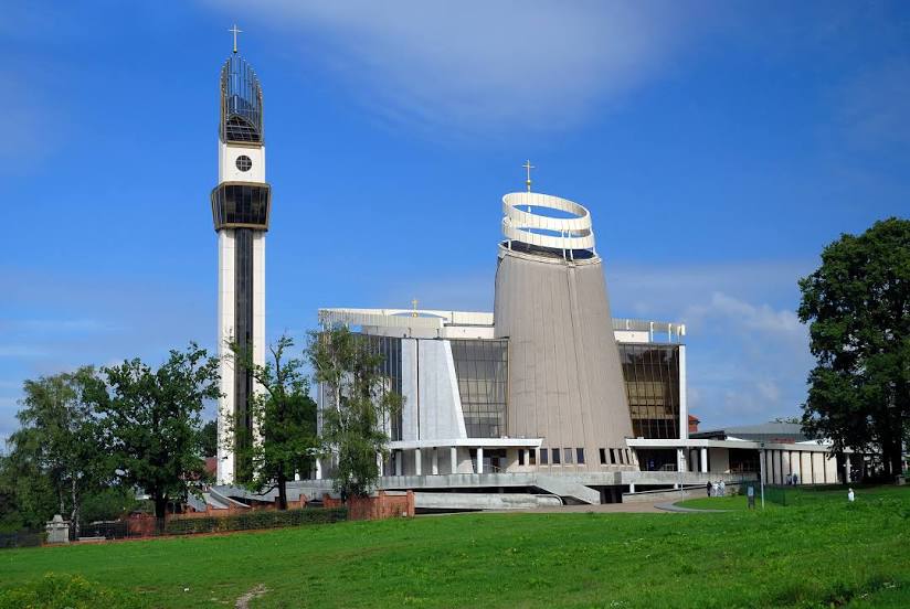
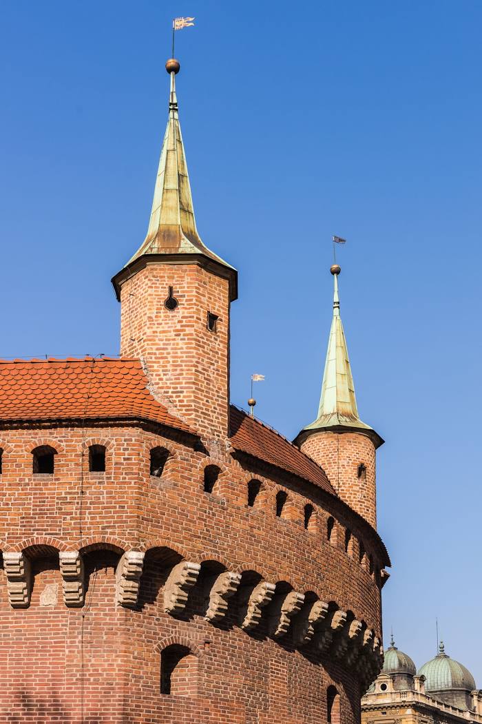
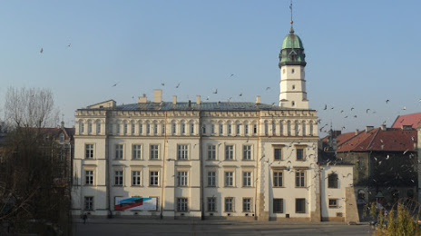
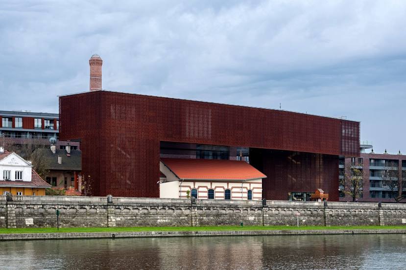
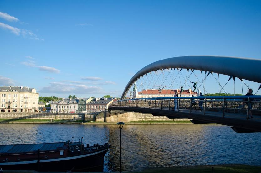
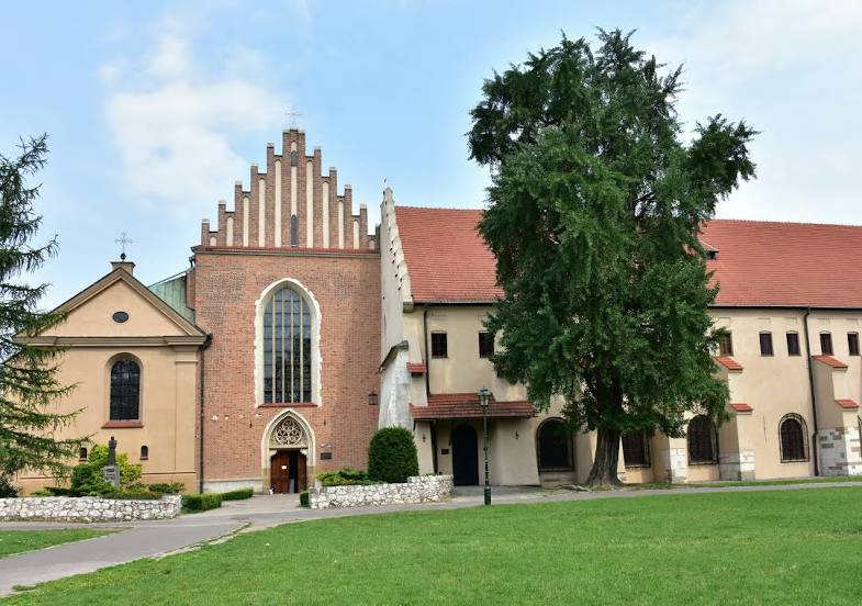
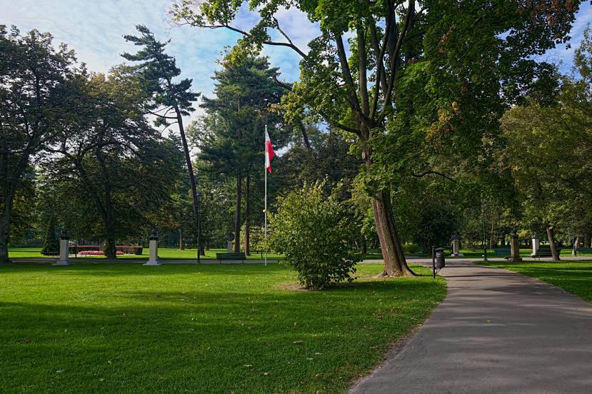
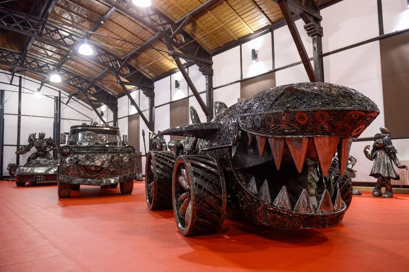
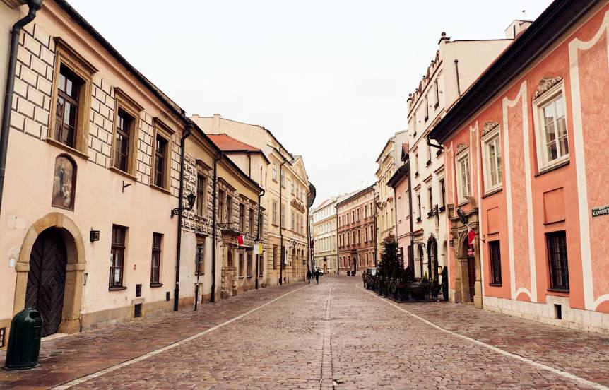
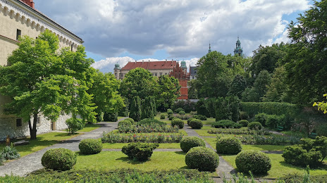
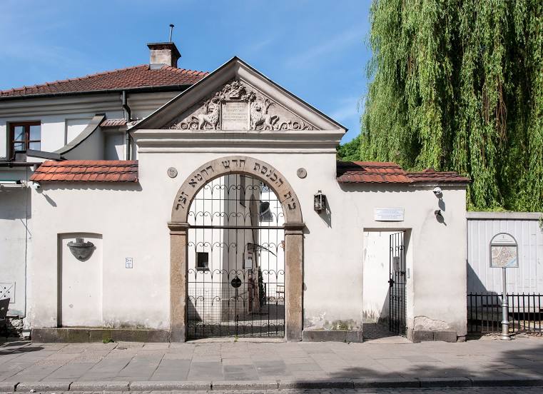
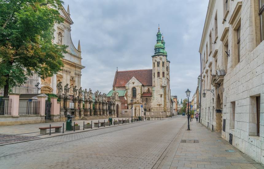
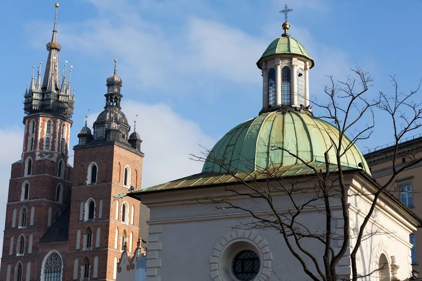
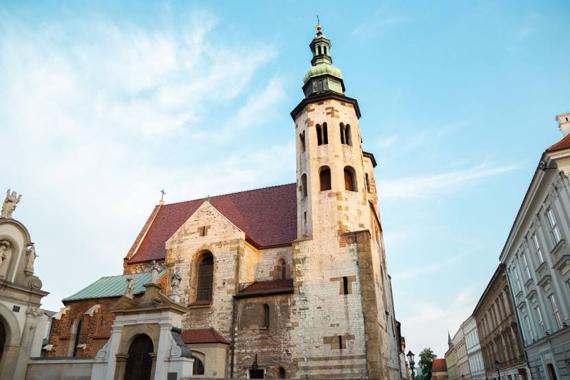
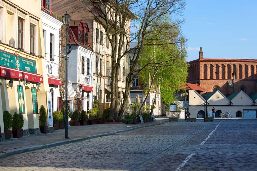
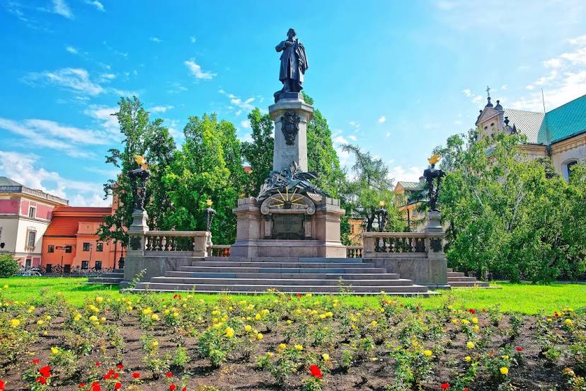
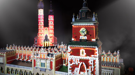
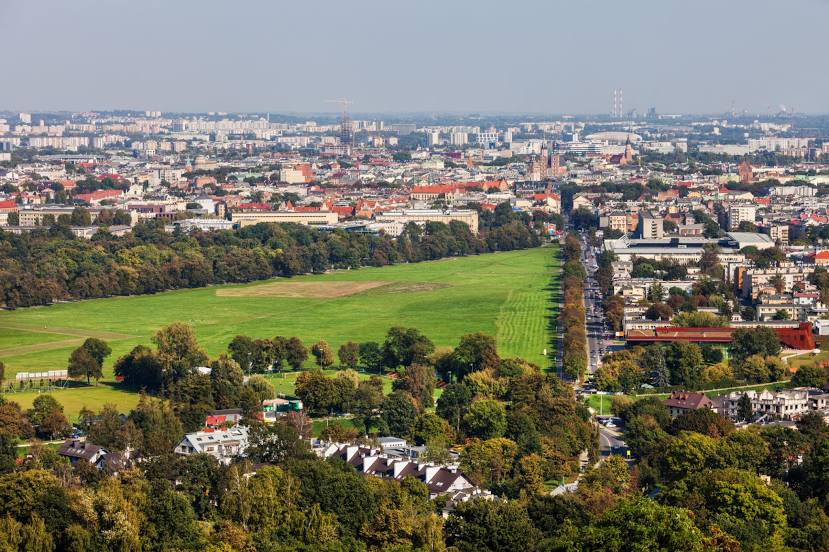
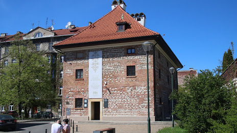
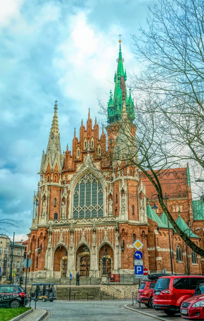
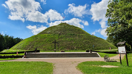
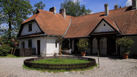
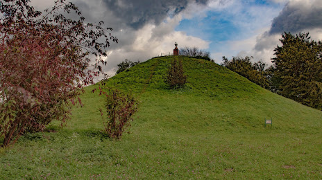
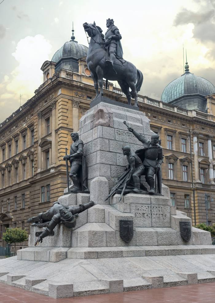
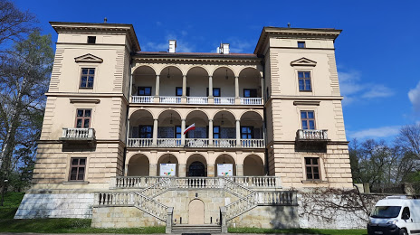
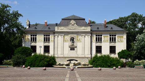
Attractions


Distance to the capital
Distance to the capital (Warsaw) is about — 252 km.