
 Rutki
Kolno
Lublin
Przasnysz
Gliwice
Stoczek Łukowski
Janów
Legnica
Krzeszowice
Pruszków
Rutki
Kolno
Lublin
Przasnysz
Gliwice
Stoczek Łukowski
Janów
Legnica
Krzeszowice
Pruszków
Tarnow on the map, Poland
Where is located Tarnow
Exact location — Tarnow, Tarnów County, Lesser Poland Voivodeship, Poland, marked on the map with a red marker.
Coordinates
Tarnow, Poland coordinates in decimal format: latitude — 50.0121011, longitude — 20.9858407. When converted to degrees, minutes, seconds Tarnow has the following coordinates: 50°0′43.56 north latitude and 20°59′9.03 east longitude.
Population
Tarnow, Tarnów County, Lesser Poland Voivodeship, Poland, according to our data the population is — 117,799 residents, which is about 0.3% of the total population of the country (Poland).
Comparison of the population on the graph:
Exact time
Time zone for this location Tarnow — UTC +2 Europe/Warsaw. Exact time — monday, 4 april 2024 year, 20 h. 54 minutes.
Sunrise and sunset
Tarnow, sunrise and sunset data for a date — monday 29.04.2024.
| Sunrise | Sunset | Day (duration) |
|---|---|---|
| 05:18 -2 minutes | 19:48 +2 minutes | 14 h. 30 minutes. +4 minutes |
You can control the scale of the map using the auxiliary tools to find out exactly where it is located Tarnow. When you change the scale of the map, the width of the ruler also changes (in kilometers and miles).
Nearby cities
The largest cities that are located nearby:
- Rzeszow — 72 km
- Kraków — 74 km
- Kielce — 98 km
- Dabrowa Gornicza — 131 km
- Sosnowiec — 136 km
- Bielsko-Biala — 139 km
- Katowice — 141 km
- Košice
 (Slovakia) — 144 km
 - Chorzow — 147 km
- Bytom — 151 km
- Ruda Slaska — 153 km
- Radom — 154 km
- Częstochowa — 157 km
- Zabrze — 159 km
- Gliwice — 166 km
- Rybnik — 173 km
- Lublin — 175 km
- Uzhhorod
 (Ukraine) — 181 km
 - Ostrava
 (Czech Republic) — 195 km
Distance to neighboring capitals:
- Budapest
 (Hungary) — 314 km
 - Bratislava (Slovakia) — 351 km
- Vienna
 (Austria) — 391 km
 - Prague (Czech Republic) — 468 km
- Belgrade
 (Serbia) — 583 km
 - Vilnius
 (Lithuania) — 596 km
 - Berlin
 (Germany) — 596 km
 - Minsk
 (Belarus) — 624 km
 - Kyiv (Ukraine) — 680 km
- Bucharest
 (Romania) — 731 km
 - Rīga
 (Latvia) — 799 km
 - Copenhagen
 (Denmark) — 845 km
 - Bern
 (Switzerland) — 1053 km
 - Amsterdam
 (Netherlands) — 1149 km
 - Helsinki
 (Finland) — 1157 km
 - Moscow
 (Russia) — 1281 km
 - Paris
 (France) — 1350 km
 - Tbilisi
 (Georgia) — 2049 km
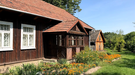
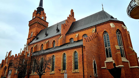
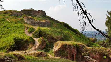
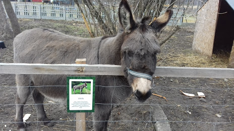
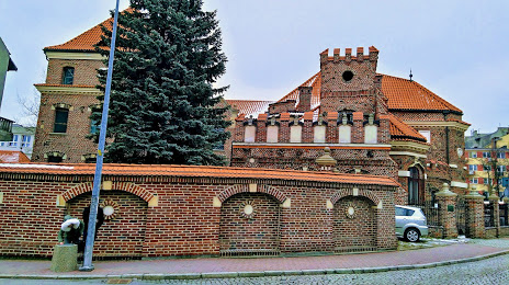
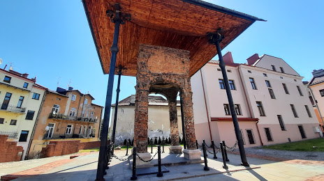
Attractions


Distance to the capital
Distance to the capital (Warsaw) is about — 247 km.