
 Łomianki
Stalowa Wola
Praszka
Wolomin
Myslenice
Slupsk
Żary
Zabrze
Zakopane
Janów
Stoczek Łukowski
Gliwice
Przasnysz
Lublin
Kolno
Rutki
Miastkowo
Sokolniki
Proszowice
Łomianki
Stalowa Wola
Praszka
Wolomin
Myslenice
Slupsk
Żary
Zabrze
Zakopane
Janów
Stoczek Łukowski
Gliwice
Przasnysz
Lublin
Kolno
Rutki
Miastkowo
Sokolniki
Proszowice
Opole on the map, Poland
Where is located Opole
Exact location — Opole, Opole County, Opole Voivodeship, Poland, marked on the map with a red marker.
Coordinates
Opole, Poland coordinates in decimal format: latitude — 50.6751067, longitude — 17.9212976. When converted to degrees, minutes, seconds Opole has the following coordinates: 50°40′30.38 north latitude and 17°55′16.67 east longitude.
Population
Opole, Opole County, Opole Voivodeship, Poland, according to our data the population is — 127,676 residents, which is about 0.3% of the total population of the country (Poland).
Comparison of the population on the graph:
Exact time
Time zone for this location Opole — UTC +2 Europe/Warsaw. Exact time — monday, 4 april 2024 year, 09 h. 00 minutes.
Sunrise and sunset
Opole, sunrise and sunset data for a date — monday 29.04.2024.
| Sunrise | Sunset | Day (duration) |
|---|---|---|
| 05:29 -1 minute | 20:02 +2 minutes | 14 h. 36 minutes. +3 minutes |
You can control the scale of the map using the auxiliary tools to find out exactly where it is located Opole. When you change the scale of the map, the width of the ruler also changes (in kilometers and miles).
Nearby cities
The largest cities that are located nearby:
- Gliwice — 68 km
- Zabrze — 72 km
- Rybnik — 77 km
- Wrocław — 78 km
- Bytom — 79 km
- Ruda Slaska — 81 km
- Chorzow — 84 km
- Częstochowa — 85 km
- Katowice — 90 km
- Sosnowiec — 94 km
- Ostrava
 (Czech Republic) — 98 km
 - Dabrowa Gornicza — 98 km
- Walbrzych — 115 km
- Kalisz — 121 km
- Bielsko-Biala — 124 km
- Olomouc (Czech Republic) — 129 km
- Legnica — 136 km
- Kraków — 159 km
- Łódź — 159 km
Distance to neighboring capitals:
- Prague (Czech Republic) — 256 km
- Bratislava
 (Slovakia) — 287 km
 - Vienna
 (Austria) — 296 km
 - Budapest
 (Hungary) — 363 km
 - Berlin
 (Germany) — 373 km
 - Copenhagen
 (Denmark) — 660 km
 - Vilnius
 (Lithuania) — 667 km
 - Belgrade
 (Serbia) — 682 km
 - Minsk
 (Belarus) — 747 km
 - Rīga
 (Latvia) — 807 km
 - Bern
 (Switzerland) — 871 km
 - Kyiv
 (Ukraine) — 890 km
 - Amsterdam
 (Netherlands) — 920 km
 - Bucharest
 (Romania) — 926 km
 - Paris
 (France) — 1134 km
 - Helsinki
 (Finland) — 1144 km
 - Moscow
 (Russia) — 1422 km
 - Tbilisi
 (Georgia) — 2279 km
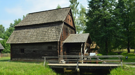
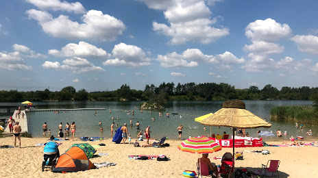
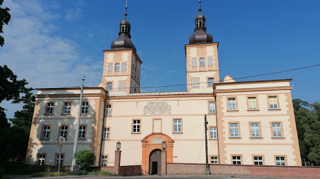
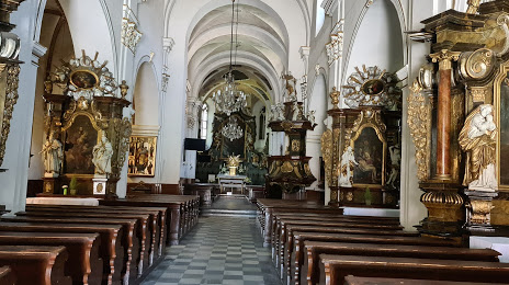
Attractions


Distance to the capital
Distance to the capital (Warsaw) is about — 275 km.