
 Wronki
Wieliczka
Sopot
Ostrów
Bełżyce
Jaslo
Gniezno
Zamosc
Radom
Annopol
Szczecin
Opole
Ostroleka
Plock
Olsztyn
Gdynia
Bydgoszcz
Kielce
Koszalin
Wronki
Wieliczka
Sopot
Ostrów
Bełżyce
Jaslo
Gniezno
Zamosc
Radom
Annopol
Szczecin
Opole
Ostroleka
Plock
Olsztyn
Gdynia
Bydgoszcz
Kielce
Koszalin
Stalowa Wola on the map, Poland
Where is located Stalowa Wola
Exact location — Stalowa Wola, Stalowa Wola County, Podkarpackie Voivodeship, Poland, marked on the map with a red marker.
Coordinates
Stalowa Wola, Poland coordinates in decimal format: latitude — 50.5826005, longitude — 22.053586. When converted to degrees, minutes, seconds Stalowa Wola has the following coordinates: 50°34′57.36 north latitude and 22°3′12.91 east longitude.
Population
Stalowa Wola, Stalowa Wola County, Podkarpackie Voivodeship, Poland, according to our data the population is — 66,495 residents, which is about 0.2% of the total population of the country (Poland).
Comparison of the population on the graph:
Exact time
Time zone for this location Stalowa Wola — UTC +2 Europe/Warsaw. Exact time — monday, 5 may 2024 year, 21 h. 35 minutes.
Sunrise and sunset
Stalowa Wola, sunrise and sunset data for a date — monday 13.05.2024.
| Sunrise | Sunset | Day (duration) |
|---|---|---|
| 04:49 -2 minutes | 20:06 +1 minute | 15 h. 18 minutes. +3 minutes |
You can control the scale of the map using the auxiliary tools to find out exactly where it is located Stalowa Wola. When you change the scale of the map, the width of the ruler also changes (in kilometers and miles).
Nearby cities
The largest cities that are located nearby:
- Rzeszow — 60 km
- Lublin — 82 km
- Tarnow — 99 km
- Kielce — 104 km
- Radom — 110 km
- Kraków — 160 km
- Brest
 (Belarus) — 203 km
 - Dabrowa Gornicza — 204 km
- Częstochowa — 206 km
- Sosnowiec — 211 km
- Košice
 (Slovakia) — 214 km
 - Katowice — 217 km
- Uzhhorod
 (Ukraine) — 218 km
 - Łódź — 220 km
- Chorzow — 221 km
- Bytom — 223 km
- Ruda Slaska — 229 km
- Bielsko-Biala — 230 km
- Zabrze — 232 km
Distance to neighboring capitals:
- Budapest
 (Hungary) — 407 km
 - Bratislava (Slovakia) — 449 km
- Vienna
 (Austria) — 488 km
 - Vilnius
 (Lithuania) — 506 km
 - Minsk (Belarus) — 526 km
- Prague
 (Czech Republic) — 543 km
 - Kyiv (Ukraine) — 599 km
- Berlin
 (Germany) — 635 km
 - Belgrade
 (Serbia) — 656 km
 - Rīga
 (Latvia) — 721 km
 - Bucharest
 (Romania) — 749 km
 - Copenhagen
 (Denmark) — 848 km
 - Helsinki
 (Finland) — 1082 km
 - Bern
 (Switzerland) — 1142 km
 - Moscow
 (Russia) — 1183 km
 - Amsterdam
 (Netherlands) — 1202 km
 - Paris
 (France) — 1425 km
 - Tbilisi
 (Georgia) — 1998 km
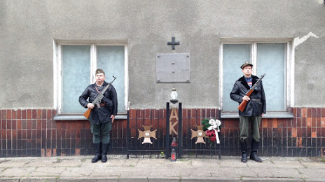
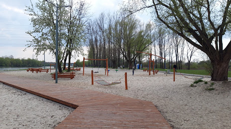
Attractions


Distance to the capital
Distance to the capital (Warsaw) is about — 197 km.