
 Lowicz
Wronki
Wieliczka
Sopot
Ostrów
Bełżyce
Jaslo
Gniezno
Zamosc
Szczecin
Opole
Ostroleka
Plock
Olsztyn
Gdynia
Bydgoszcz
Kielce
Koszalin
Szczytno
Lowicz
Wronki
Wieliczka
Sopot
Ostrów
Bełżyce
Jaslo
Gniezno
Zamosc
Szczecin
Opole
Ostroleka
Plock
Olsztyn
Gdynia
Bydgoszcz
Kielce
Koszalin
Szczytno
Łomianki on the map, Poland
Where is located Łomianki
Exact location — Łomianki, Warsaw West County, Masovian Voivodeship, Poland, marked on the map with a red marker.
Coordinates
Łomianki, Poland coordinates in decimal format: latitude — 52.3336578, longitude — 20.8869862. When converted to degrees, minutes, seconds Łomianki has the following coordinates: 52°20′1.17 north latitude and 20°53′13.15 east longitude.
Population
Łomianki, Warsaw West County, Masovian Voivodeship, Poland, according to our data the population is — 15,315 residents, which is about 0% of the total population of the country (Poland).
Comparison of the population on the graph:
Exact time
Time zone for this location Łomianki — UTC +2 Europe/Warsaw. Exact time — thursday, 5 may 2024 year, 05 h. 20 minutes.
Sunrise and sunset
Łomianki, sunrise and sunset data for a date — thursday 2.05.2024.
| Sunrise | Sunset | Day (duration) |
|---|---|---|
| 05:06 -2 minutes | 20:00 +2 minutes | 14 h. 54 minutes. +4 minutes |
You can control the scale of the map using the auxiliary tools to find out exactly where it is located Łomianki. When you change the scale of the map, the width of the ruler also changes (in kilometers and miles).
Nearby cities
The largest cities that are located nearby:
- Plock — 83 km
- Radom — 104 km
- Łódź — 117 km
- Wloclawek — 127 km
- Olsztyn — 162 km
- Kielce — 163 km
- Lublin — 167 km
- Torun — 170 km
- Bialystok — 175 km
- Brest
 (Belarus) — 195 km
 - Kalisz — 202 km
- Częstochowa — 209 km
- Bydgoszcz — 210 km
- Elblag — 223 km
- Dabrowa Gornicza — 252 km
- Tarnow — 257 km
- Sosnowiec — 259 km
- Kraków — 260 km
- Bytom — 260 km
Distance to neighboring capitals:
- Vilnius
 (Lithuania) — 391 km
 - Minsk (Belarus) — 478 km
- Berlin
 (Germany) — 508 km
 - Prague
 (Czech Republic) — 515 km
 - Bratislava
 (Slovakia) — 538 km
 - Rīga
 (Latvia) — 553 km
 - Budapest
 (Hungary) — 554 km
 - Vienna
 (Austria) — 560 km
 - Copenhagen
 (Denmark) — 658 km
 - Kyiv
 (Ukraine) — 700 km
 - Belgrade
 (Serbia) — 840 km
 - Helsinki
 (Finland) — 907 km
 - Bucharest
 (Romania) — 960 km
 - Amsterdam
 (Netherlands) — 1084 km
 - Bern
 (Switzerland) — 1136 km
 - Moscow
 (Russia) — 1154 km
 - Paris
 (France) — 1360 km
 - Tbilisi
 (Georgia) — 2147 km
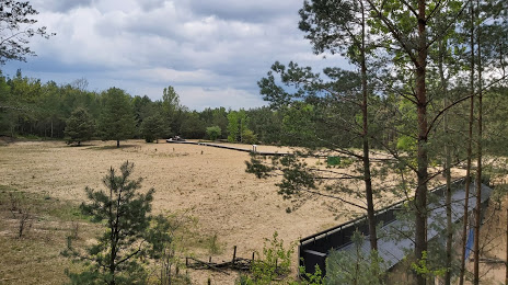
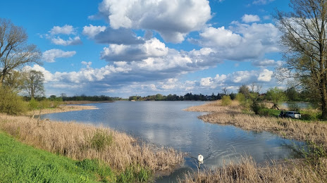
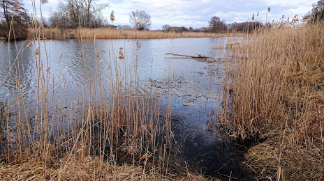
Attractions


Distance to the capital
Distance to the capital (Warsaw) is about — 14 km.