
 Sokolniki
Miastkowo
Rutki
Kolno
Lublin
Przasnysz
Gliwice
Stoczek Łukowski
Janów
Sokolniki
Miastkowo
Rutki
Kolno
Lublin
Przasnysz
Gliwice
Stoczek Łukowski
Janów
Klodzko on the map, Poland
Where is located Klodzko
Exact location — Klodzko, Kłodzko County, Lower Silesian Voivodeship, Poland, marked on the map with a red marker.
Coordinates
Klodzko, Poland coordinates in decimal format: latitude — 50.4345636, longitude — 16.6613941. When converted to degrees, minutes, seconds Klodzko has the following coordinates: 50°26′4.43 north latitude and 16°39′41.02 east longitude.
Population
Klodzko, Kłodzko County, Lower Silesian Voivodeship, Poland, according to our data the population is — 28,627 residents, which is about 0.1% of the total population of the country (Poland).
Comparison of the population on the graph:
Exact time
Time zone for this location Klodzko — UTC +2 Europe/Warsaw. Exact time — sunday, 5 may 2024 year, 16 h. 37 minutes.
Sunrise and sunset
Klodzko, sunrise and sunset data for a date — sunday 5.05.2024.
| Sunrise | Sunset | Day (duration) |
|---|---|---|
| 05:24 -2 minutes | 20:15 +1 minute | 14 h. 54 minutes. +3 minutes |
You can control the scale of the map using the auxiliary tools to find out exactly where it is located Klodzko. When you change the scale of the map, the width of the ruler also changes (in kilometers and miles).
Nearby cities
The largest cities that are located nearby:
- Walbrzych — 47 km
- Wrocław — 79 km
- Opole — 92 km
- Legnica — 92 km
- Olomouc
 (Czech Republic) — 102 km
 - Ostrava (Czech Republic) — 133 km
- Brno (Czech Republic) — 137 km
- Rybnik — 139 km
- Gliwice — 143 km
- Zabrze — 150 km
- Ruda Slaska — 156 km
- Bytom — 159 km
- Chorzow — 163 km
- Prague (Czech Republic) — 163 km
- Katowice — 168 km
- Sosnowiec — 173 km
- Kalisz — 177 km
- Częstochowa — 177 km
- Dabrowa Gornicza — 179 km
Distance to neighboring capitals:
- Prague (Czech Republic) — 163 km
- Vienna
 (Austria) — 249 km
 - Bratislava
 (Slovakia) — 257 km
 - Berlin
 (Germany) — 324 km
 - Budapest
 (Hungary) — 370 km
 - Copenhagen
 (Denmark) — 644 km
 - Belgrade
 (Serbia) — 689 km
 - Vilnius
 (Lithuania) — 750 km
 - Bern
 (Switzerland) — 779 km
 - Minsk
 (Belarus) — 837 km
 - Amsterdam
 (Netherlands) — 843 km
 - Rīga
 (Latvia) — 874 km
 - Bucharest
 (Romania) — 974 km
 - Kyiv
 (Ukraine) — 980 km
 - Paris
 (France) — 1044 km
 - Helsinki
 (Finland) — 1201 km
 - Moscow
 (Russia) — 1512 km
 - Tbilisi
 (Georgia) — 2358 km
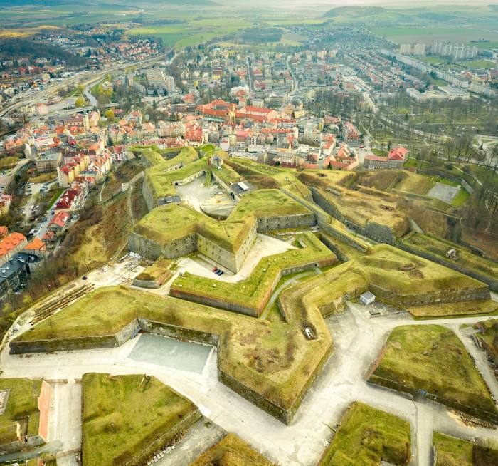
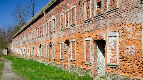
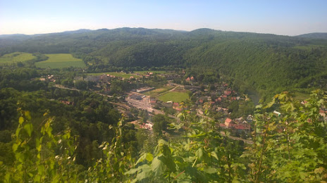
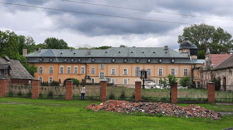
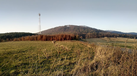
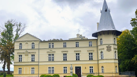
Attractions


Distance to the capital
Distance to the capital (Warsaw) is about — 362 km.