
 Proszowice
Sokolniki
Miastkowo
Rutki
Kolno
Lublin
Przasnysz
Gliwice
Stoczek Łukowski
Proszowice
Sokolniki
Miastkowo
Rutki
Kolno
Lublin
Przasnysz
Gliwice
Stoczek Łukowski
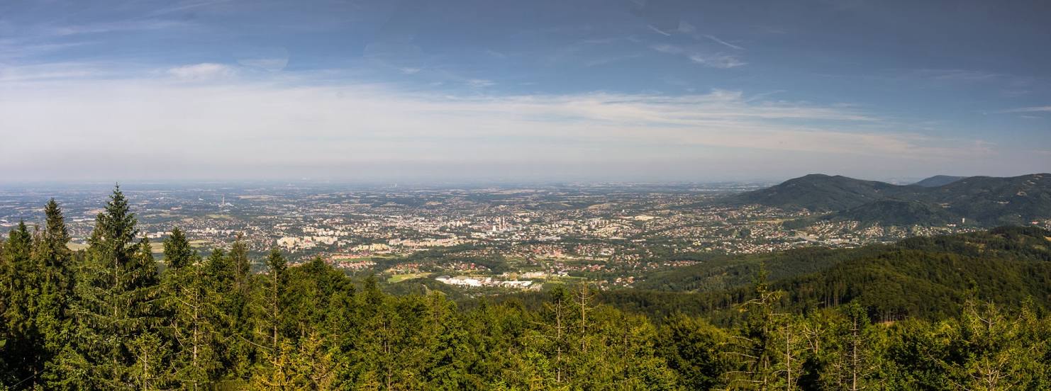
Bielsko-Biala on the map, Poland
Where is located Bielsko-Biala
Exact location — Bielsko-Biala, Bielsko-Biała, Silesian Voivodeship, Poland, marked on the map with a red marker.
Coordinates
Bielsko-Biala, Poland coordinates in decimal format: latitude — 49.8223768, longitude — 19.0583845. When converted to degrees, minutes, seconds Bielsko-Biala has the following coordinates: 49°49′20.56 north latitude and 19°3′30.18 east longitude.
Population
Bielsko-Biala, Bielsko-Biała, Silesian Voivodeship, Poland, according to our data the population is — 176,515 residents, which is about 0.5% of the total population of the country (Poland).
Comparison of the population on the graph:
Exact time
Time zone for this location Bielsko-Biala — UTC +2 Europe/Warsaw. Exact time — sunday, 5 may 2024 year, 15 h. 58 minutes.
Sunrise and sunset
Bielsko-Biala, sunrise and sunset data for a date — sunday 5.05.2024.
| Sunrise | Sunset | Day (duration) |
|---|---|---|
| 05:16 -2 minutes | 20:04 +2 minutes | 14 h. 48 minutes. +4 minutes |
You can control the scale of the map using the auxiliary tools to find out exactly where it is located Bielsko-Biala. When you change the scale of the map, the width of the ruler also changes (in kilometers and miles).
Nearby cities
The largest cities that are located nearby:
- Rybnik — 48 km
- Katowice — 49 km
- Ruda Slaska — 50 km
- Sosnowiec — 51 km
- Chorzow — 53 km
- Dabrowa Gornicza — 56 km
- Ostrava
 (Czech Republic) — 57 km
 - Zabrze — 59 km
- Gliwice — 59 km
- Bytom — 59 km
- Kraków — 68 km
- Częstochowa — 109 km
- Opole — 123 km
- Olomouc (Czech Republic) — 132 km
- Tarnow — 139 km
- Kielce — 159 km
- Brno (Czech Republic) — 190 km
- Wrocław — 200 km
- Košice
 (Slovakia) — 201 km
Distance to neighboring capitals:
- Bratislava (Slovakia) — 235 km
- Budapest
 (Hungary) — 259 km
 - Vienna
 (Austria) — 266 km
 - Prague (Czech Republic) — 332 km
- Berlin
 (Germany) — 495 km
 - Belgrade
 (Serbia) — 570 km
 - Vilnius
 (Lithuania) — 687 km
 - Minsk
 (Belarus) — 739 km
 - Copenhagen
 (Denmark) — 783 km
 - Bucharest
 (Romania) — 802 km
 - Kyiv
 (Ukraine) — 820 km
 - Rīga
 (Latvia) — 860 km
 - Bern
 (Switzerland) — 914 km
 - Amsterdam
 (Netherlands) — 1027 km
 - Helsinki
 (Finland) — 1210 km
 - Paris
 (France) — 1213 km
 - Moscow
 (Russia) — 1406 km
 - Tbilisi
 (Georgia) — 2176 km
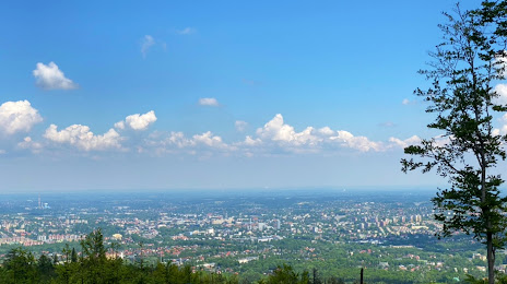
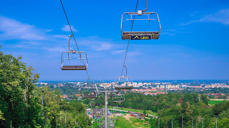
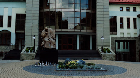
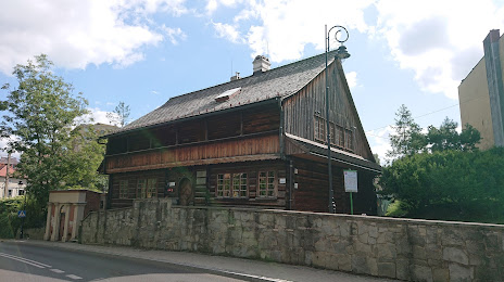
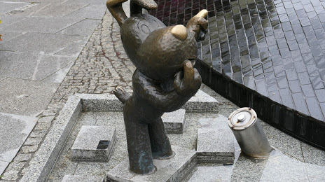
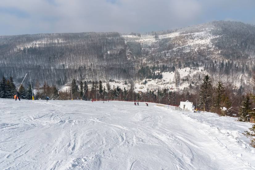
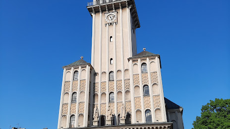
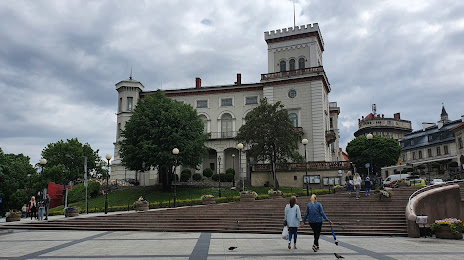
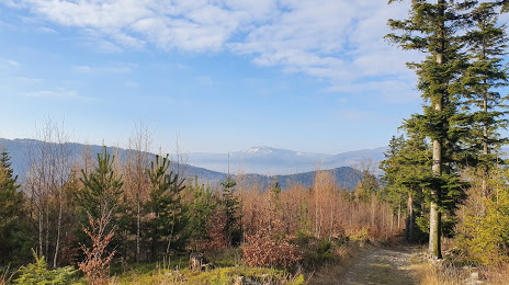
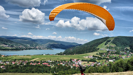
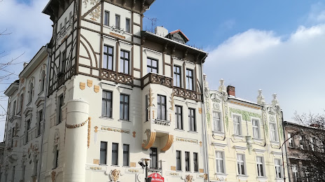
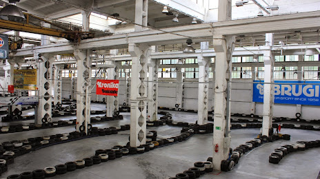
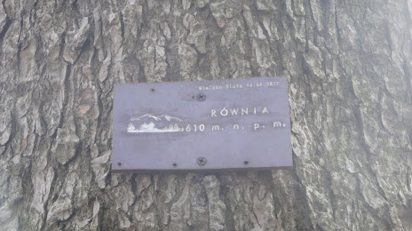
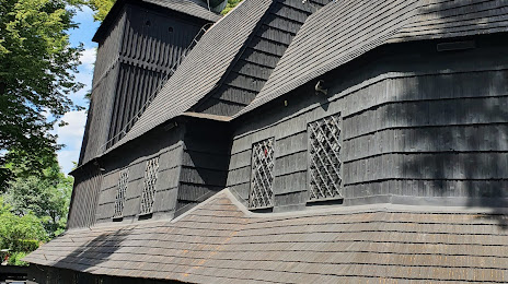
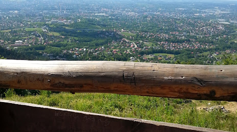
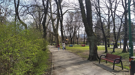
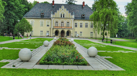
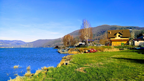
Attractions


Distance to the capital
Distance to the capital (Warsaw) is about — 301 km.