
 Kolno
Lublin
Przasnysz
Gliwice
Stoczek Łukowski
Janów
Legnica
Krzeszowice
Szczytno
Warsaw
Pruszków
Kolno
Lublin
Przasnysz
Gliwice
Stoczek Łukowski
Janów
Legnica
Krzeszowice
Szczytno
Warsaw
Pruszków
Leszno on the map, Poland
Where is located Leszno
Exact location — Leszno, Leszno County, Greater Poland Voivodeship, Poland, marked on the map with a red marker.
Coordinates
Leszno, Poland coordinates in decimal format: latitude — 51.8419861, longitude — 16.5937545. When converted to degrees, minutes, seconds Leszno has the following coordinates: 51°50′31.15 north latitude and 16°35′37.52 east longitude.
Population
Leszno, Leszno County, Greater Poland Voivodeship, Poland, according to our data the population is — 63,565 residents, which is about 0.2% of the total population of the country (Poland).
Comparison of the population on the graph:
Exact time
Time zone for this location Leszno — UTC +2 Europe/Warsaw. Exact time — monday, 4 april 2024 year, 21 h. 42 minutes.
Sunrise and sunset
Leszno, sunrise and sunset data for a date — monday 29.04.2024.
| Sunrise | Sunset | Day (duration) |
|---|---|---|
| 05:31 -1 minute | 20:10 +1 minute | 14 h. 42 minutes. +2 minutes |
You can control the scale of the map using the auxiliary tools to find out exactly where it is located Leszno. When you change the scale of the map, the width of the ruler also changes (in kilometers and miles).
Nearby cities
The largest cities that are located nearby:
- Poznań — 66 km
- Zielona Gora — 75 km
- Legnica — 76 km
- Wrocław — 87 km
- Kalisz — 102 km
- Walbrzych — 119 km
- Gorzów Wielkopolski — 134 km
- Cottbus
 (Germany) — 155 km
 - Opole — 159 km
- Bydgoszcz — 170 km
- Torun — 186 km
- Wloclawek — 188 km
- Łódź — 196 km
- Częstochowa — 210 km
- Dresden (Germany) — 217 km
- Szczecin — 221 km
- Plock — 223 km
- Gliwice — 225 km
- Berlin (Germany) — 227 km
Distance to neighboring capitals:
- Berlin (Germany) — 230 km
- Prague
 (Czech Republic) — 248 km
 - Vienna
 (Austria) — 404 km
 - Bratislava
 (Slovakia) — 413 km
 - Copenhagen
 (Denmark) — 502 km
 - Budapest
 (Hungary) — 514 km
 - Vilnius
 (Lithuania) — 658 km
 - Rīga
 (Latvia) — 747 km
 - Minsk
 (Belarus) — 770 km
 - Amsterdam
 (Netherlands) — 800 km
 - Belgrade
 (Serbia) — 835 km
 - Bern
 (Switzerland) — 856 km
 - Kyiv
 (Ukraine) — 983 km
 - Helsinki
 (Finland) — 1060 km
 - Paris
 (France) — 1062 km
 - Bucharest
 (Romania) — 1084 km
 - Moscow
 (Russia) — 1442 km
 - Tbilisi
 (Georgia) — 2403 km
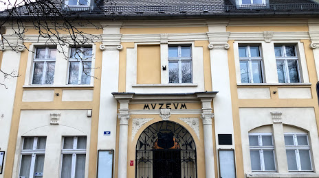
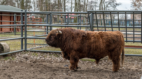
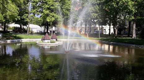
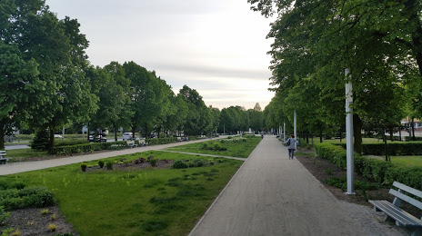
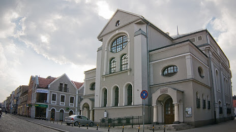
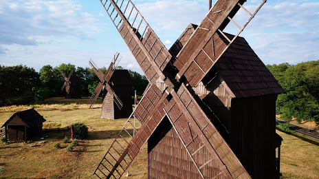
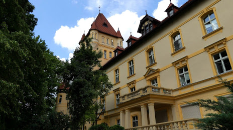
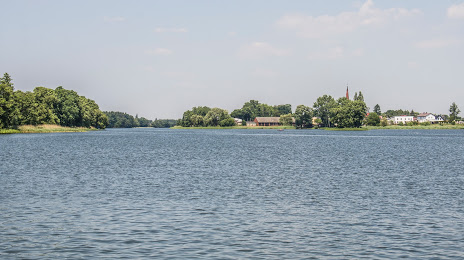
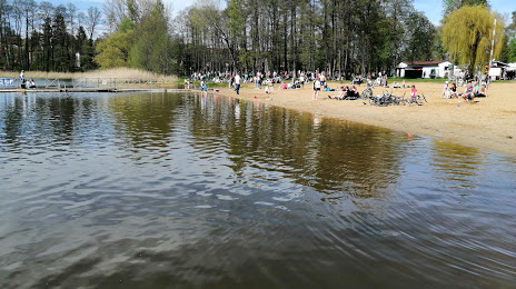
Attractions


Distance to the capital
Distance to the capital (Warsaw) is about — 305 km.