
 Zakopane
Jelenia Góra
Bochnia
Lancut
Lowicz
Wronki
Wieliczka
Sopot
Ostrów
Olsztyn
Gdynia
Bydgoszcz
Kielce
Koszalin
Szczytno
Krzeszowice
Legnica
Janów
Stoczek Łukowski
Zakopane
Jelenia Góra
Bochnia
Lancut
Lowicz
Wronki
Wieliczka
Sopot
Ostrów
Olsztyn
Gdynia
Bydgoszcz
Kielce
Koszalin
Szczytno
Krzeszowice
Legnica
Janów
Stoczek Łukowski
Łaziska Górne on the map, Poland
Where is located Łaziska Górne
Exact location — Łaziska Górne, Mikołów County, Silesian Voivodeship, Poland, marked on the map with a red marker.
Coordinates
Łaziska Górne, Poland coordinates in decimal format: latitude — 50.1494, longitude — 18.84028. When converted to degrees, minutes, seconds Łaziska Górne has the following coordinates: 50°8′57.84 north latitude and 18°50′25.01 east longitude.
Population
Łaziska Górne, Mikołów County, Silesian Voivodeship, Poland, according to our data the population is — 21,983 residents, which is about 0.1% of the total population of the country (Poland).
Comparison of the population on the graph:
Exact time
Time zone for this location Łaziska Górne — UTC +2 Europe/Warsaw. Exact time — monday, 4 april 2024 year, 11 h. 23 minutes.
Sunrise and sunset
Łaziska Górne, sunrise and sunset data for a date — monday 29.04.2024.
| Sunrise | Sunset | Day (duration) |
|---|---|---|
| 05:26 -2 minutes | 19:56 +1 minute | 14 h. 30 minutes. +3 minutes |
You can control the scale of the map using the auxiliary tools to find out exactly where it is located Łaziska Górne. When you change the scale of the map, the width of the ruler also changes (in kilometers and miles).
Nearby cities
The largest cities that are located nearby:
- Ruda Slaska — 12 km
- Katowice — 18 km
- Chorzow — 18 km
- Zabrze — 20 km
- Gliwice — 20 km
- Rybnik — 21 km
- Bytom — 23 km
- Sosnowiec — 24 km
- Dabrowa Gornicza — 31 km
- Bielsko-Biala — 39 km
- Ostrava
 (Czech Republic) — 55 km
 - Częstochowa — 76 km
- Kraków — 79 km
- Opole — 87 km
- Olomouc (Czech Republic) — 129 km
- Kielce — 148 km
- Tarnow — 153 km
- Wrocław — 164 km
- Łódź — 183 km
Distance to neighboring capitals:
- Bratislava
 (Slovakia) — 256 km
 - Vienna
 (Austria) — 281 km
 - Budapest
 (Hungary) — 295 km
 - Prague (Czech Republic) — 314 km
- Berlin
 (Germany) — 460 km
 - Belgrade
 (Serbia) — 609 km
 - Vilnius
 (Lithuania) — 667 km
 - Minsk
 (Belarus) — 728 km
 - Copenhagen
 (Denmark) — 744 km
 - Kyiv
 (Ukraine) — 830 km
 - Rīga
 (Latvia) — 832 km
 - Bucharest
 (Romania) — 839 km
 - Bern
 (Switzerland) — 910 km
 - Amsterdam
 (Netherlands) — 1000 km
 - Helsinki
 (Finland) — 1179 km
 - Paris
 (France) — 1197 km
 - Moscow
 (Russia) — 1398 km
 - Tbilisi
 (Georgia) — 2200 km
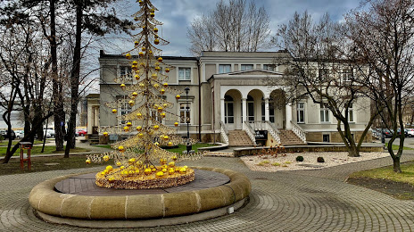
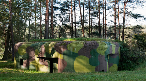
Attractions

Distance to the capital
Distance to the capital (Warsaw) is about — 276 km.