
 Janów
Legnica
Krzeszowice
Szczytno
Koszalin
Kielce
Bydgoszcz
Gdynia
Olsztyn
Rybnik
Gorlice
Rzeszow
Gdańsk
Poznań
Warsaw
Pruszków
Janów
Legnica
Krzeszowice
Szczytno
Koszalin
Kielce
Bydgoszcz
Gdynia
Olsztyn
Rybnik
Gorlice
Rzeszow
Gdańsk
Poznań
Warsaw
Pruszków
Wrocław on the map, Poland
Where is located Wrocław
Exact location — Wrocław, Wrocław County, Lower Silesian Voivodeship, Poland, marked on the map with a red marker.
Coordinates
Wrocław, Poland coordinates in decimal format: latitude — 51.1078852, longitude — 17.0385376. When converted to degrees, minutes, seconds Wrocław has the following coordinates: 51°6′28.39 north latitude and 17°2′18.74 east longitude.
Population
Wrocław, Wrocław County, Lower Silesian Voivodeship, Poland, according to our data the population is — 634,893 residents, which is about 1.7% of the total population of the country (Poland).
Comparison of the population on the graph:
Exact time
Time zone for this location Wrocław — UTC +2 Europe/Warsaw. Exact time — monday, 4 april 2024 year, 21 h. 29 minutes.
Sunrise and sunset
Wrocław, sunrise and sunset data for a date — monday 29.04.2024.
| Sunrise | Sunset | Day (duration) |
|---|---|---|
| 05:31 -2 minutes | 20:06 +1 minute | 14 h. 36 minutes. +3 minutes |
You can control the scale of the map using the auxiliary tools to find out exactly where it is located Wrocław. When you change the scale of the map, the width of the ruler also changes (in kilometers and miles).
Nearby cities
The largest cities that are located nearby:
- Legnica — 62 km
- Walbrzych — 64 km
- Opole — 78 km
- Kalisz — 102 km
- Zielona Gora — 139 km
- Poznań — 144 km
- Gliwice — 146 km
- Częstochowa — 149 km
- Zabrze — 151 km
- Rybnik — 154 km
- Bytom — 157 km
- Ruda Slaska — 159 km
- Chorzow — 162 km
- Ostrava
 (Czech Republic) — 167 km
 - Olomouc (Czech Republic) — 168 km
- Katowice — 168 km
- Sosnowiec — 172 km
- Dabrowa Gornicza — 175 km
- Łódź — 180 km
Distance to neighboring capitals:
- Prague (Czech Republic) — 217 km
- Berlin
 (Germany) — 295 km
 - Vienna
 (Austria) — 326 km
 - Bratislava
 (Slovakia) — 329 km
 - Budapest
 (Hungary) — 427 km
 - Copenhagen
 (Denmark) — 588 km
 - Vilnius
 (Lithuania) — 681 km
 - Belgrade
 (Serbia) — 747 km
 - Minsk
 (Belarus) — 776 km
 - Rīga
 (Latvia) — 796 km
 - Bern
 (Switzerland) — 838 km
 - Amsterdam
 (Netherlands) — 847 km
 - Kyiv
 (Ukraine) — 950 km
 - Bucharest
 (Romania) — 1004 km
 - Paris
 (France) — 1078 km
 - Helsinki
 (Finland) — 1122 km
 - Moscow
 (Russia) — 1452 km
 - Tbilisi
 (Georgia) — 2351 km
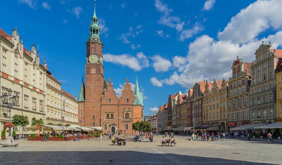
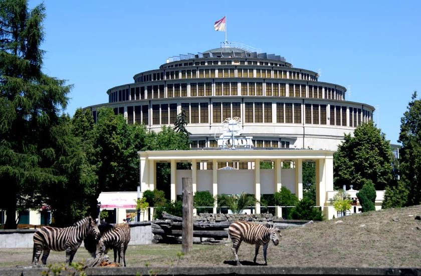
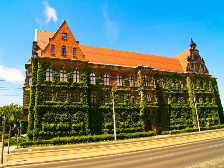
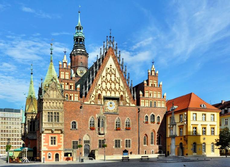
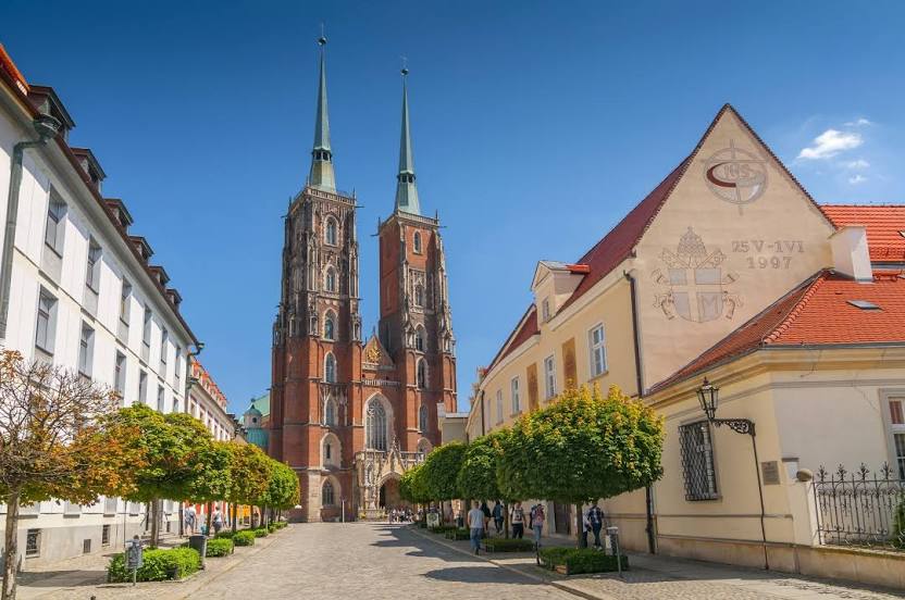
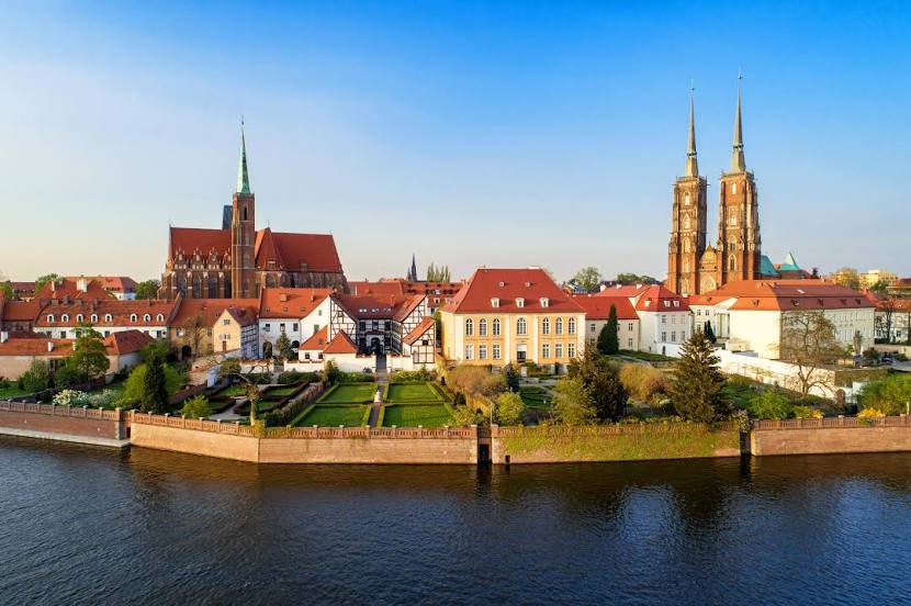
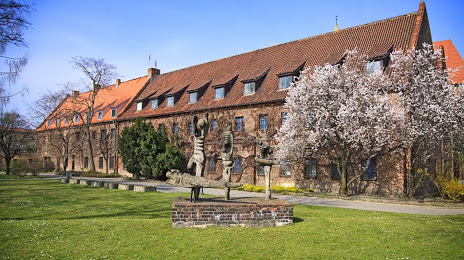
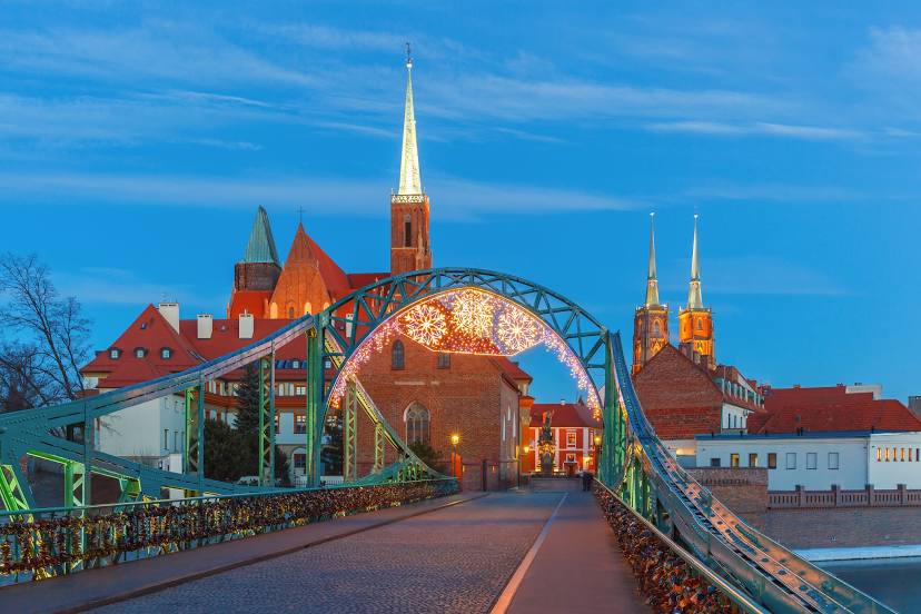
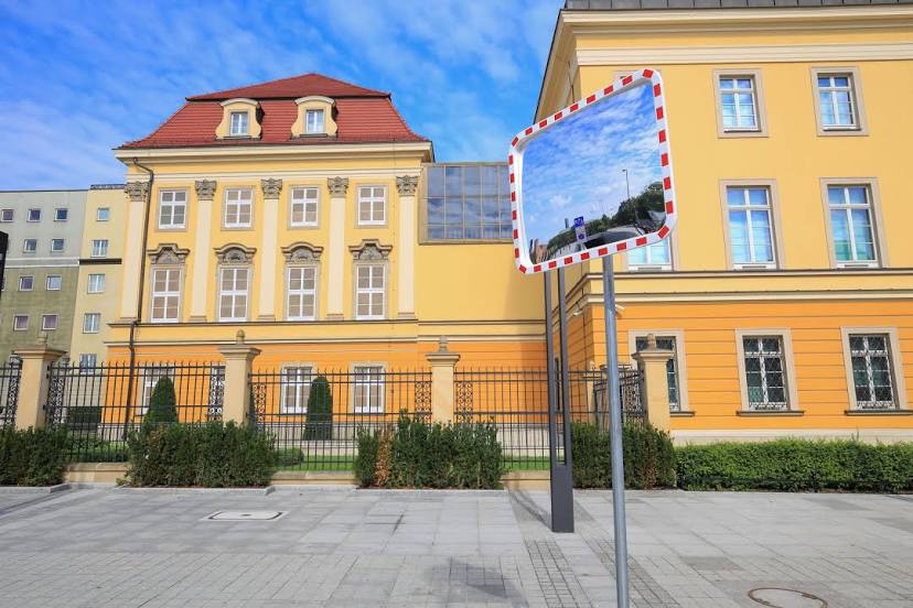
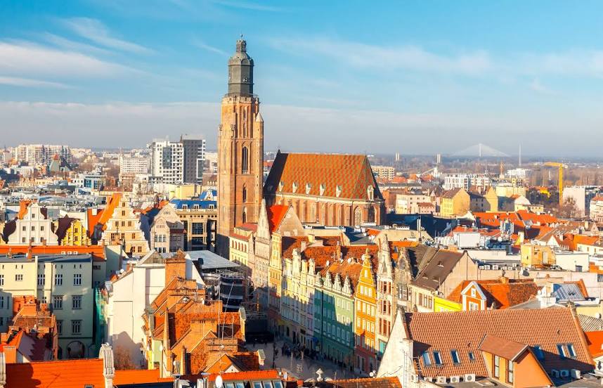
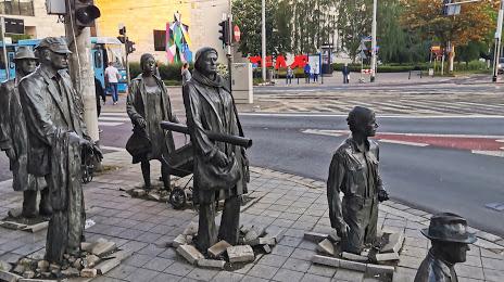
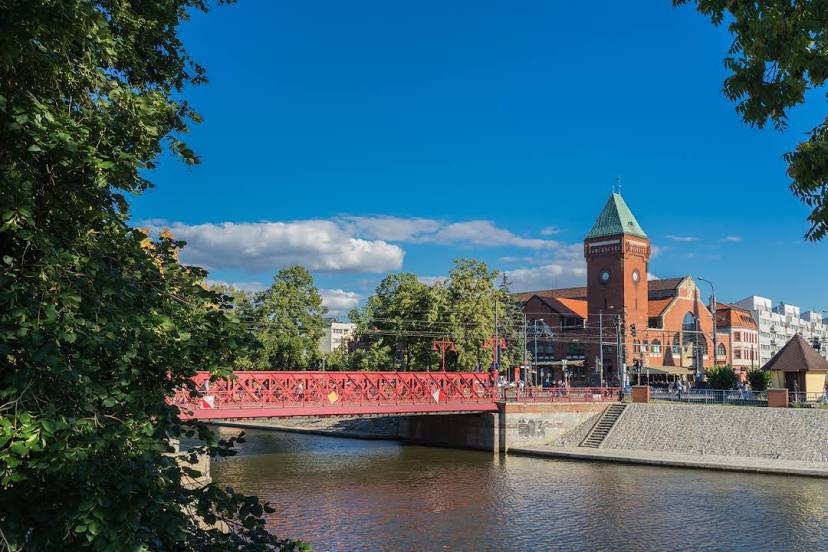
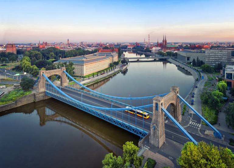
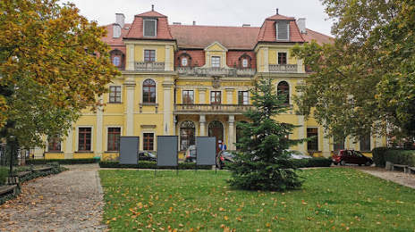
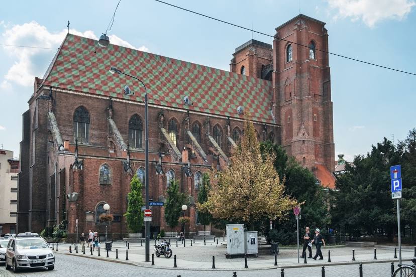
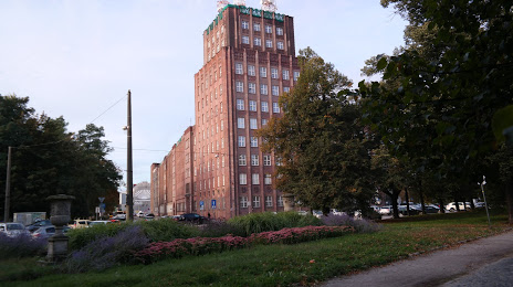
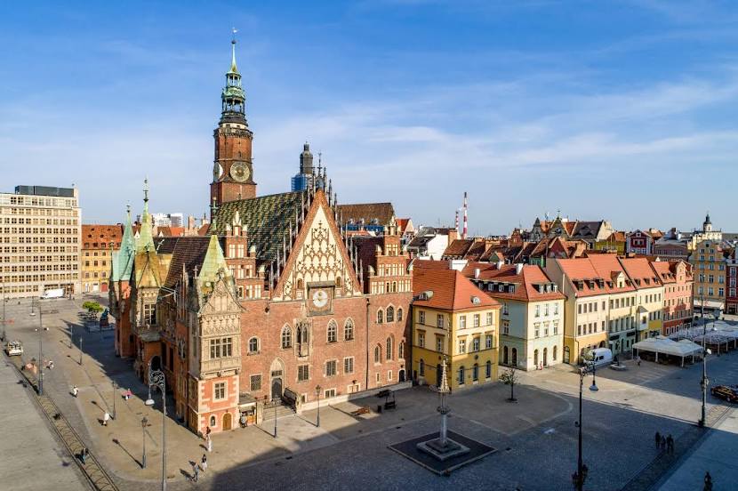
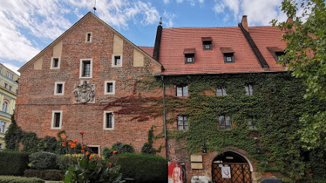
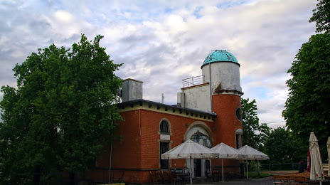
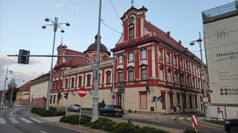
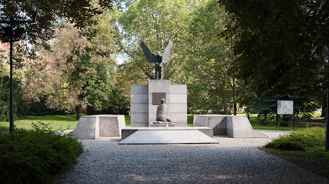
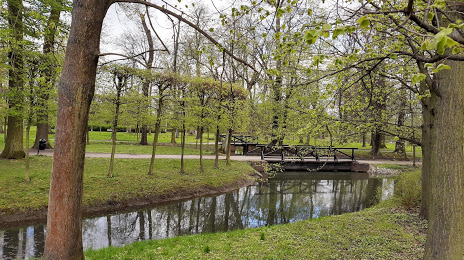
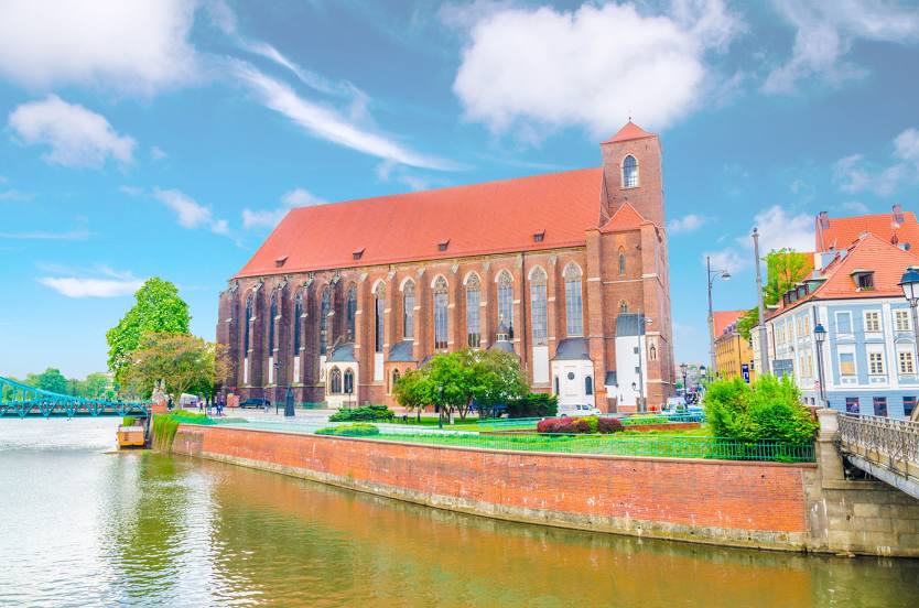
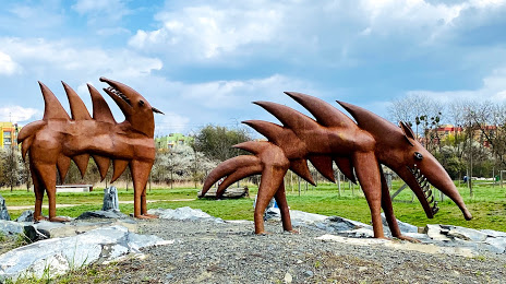
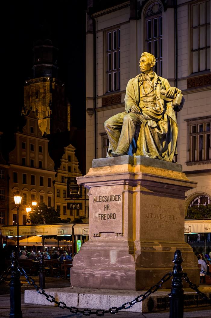
Attractions


Distance to the capital
Distance to the capital (Warsaw) is about — 301 km.