
 Łódź
Wrocław
Katowice
Gorzów Wielkopolski
Proszowice
Sokolniki
Miastkowo
Rutki
Kolno
Łódź
Wrocław
Katowice
Gorzów Wielkopolski
Proszowice
Sokolniki
Miastkowo
Rutki
Kolno
Rzeszow on the map, Poland
Where is located Rzeszow
Exact location — Rzeszow, Rzeszów County, Podkarpackie Voivodeship, Poland, marked on the map with a red marker.
Coordinates
Rzeszow, Poland coordinates in decimal format: latitude — 50.0411867, longitude — 21.9991196. When converted to degrees, minutes, seconds Rzeszow has the following coordinates: 50°2′28.27 north latitude and 21°59′56.83 east longitude.
Population
Rzeszow, Rzeszów County, Podkarpackie Voivodeship, Poland, according to our data the population is — 158,382 residents, which is about 0.4% of the total population of the country (Poland).
Comparison of the population on the graph:
Exact time
Time zone for this location Rzeszow — UTC +2 Europe/Warsaw. Exact time — thursday, 5 may 2024 year, 10 h. 18 minutes.
Sunrise and sunset
Rzeszow, sunrise and sunset data for a date — thursday 2.05.2024.
| Sunrise | Sunset | Day (duration) |
|---|---|---|
| 05:09 -2 minutes | 19:48 +1 minute | 14 h. 42 minutes. +3 minutes |
You can control the scale of the map using the auxiliary tools to find out exactly where it is located Rzeszow. When you change the scale of the map, the width of the ruler also changes (in kilometers and miles).
Nearby cities
The largest cities that are located nearby:
- Tarnow — 72 km
- Kielce — 132 km
- Lublin — 139 km
- Kraków — 146 km
- Košice
 (Slovakia) — 156 km
 - Uzhhorod
 (Ukraine) — 158 km
 - Radom — 162 km
- Dabrowa Gornicza — 200 km
- Sosnowiec — 206 km
- Bielsko-Biala — 211 km
- Katowice — 212 km
- Chorzow — 217 km
- Częstochowa — 218 km
- Bytom — 220 km
- Ruda Slaska — 223 km
- Zabrze — 229 km
- Nyíregyháza
 (Hungary) — 232 km
 - Miskolc (Hungary) — 234 km
- Gliwice — 237 km
Distance to neighboring capitals:
- Budapest (Hungary) — 356 km
- Bratislava (Slovakia) — 414 km
- Vienna
 (Austria) — 457 km
 - Prague
 (Czech Republic) — 540 km
 - Vilnius
 (Lithuania) — 563 km
 - Minsk
 (Belarus) — 574 km
 - Belgrade
 (Serbia) — 596 km
 - Kyiv (Ukraine) — 608 km
- Berlin
 (Germany) — 658 km
 - Bucharest
 (Romania) — 697 km
 - Rīga
 (Latvia) — 781 km
 - Copenhagen
 (Denmark) — 890 km
 - Bern
 (Switzerland) — 1124 km
 - Helsinki
 (Finland) — 1142 km
 - Amsterdam
 (Netherlands) — 1217 km
 - Moscow
 (Russia) — 1222 km
 - Paris
 (France) — 1423 km
 - Tbilisi
 (Georgia) — 1981 km
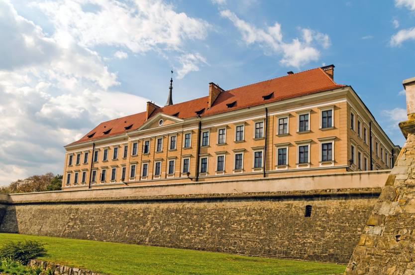
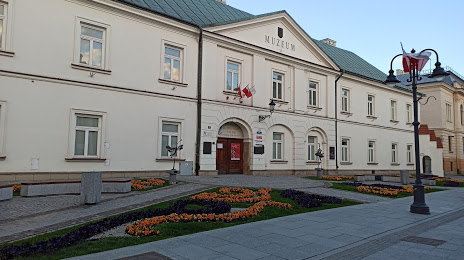
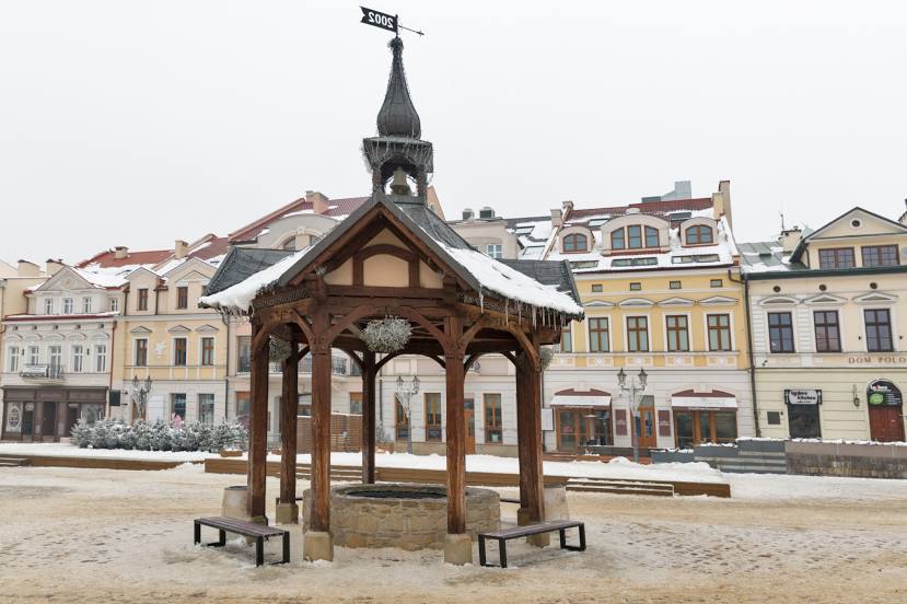
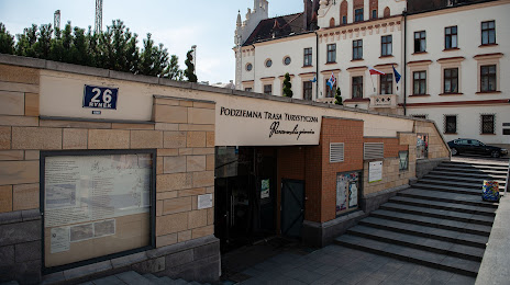
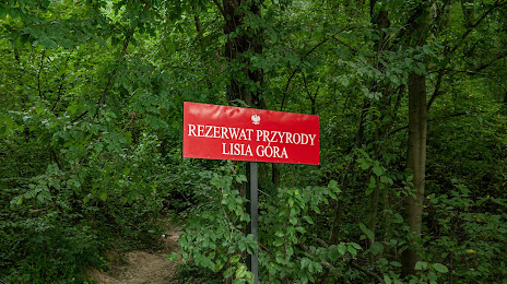
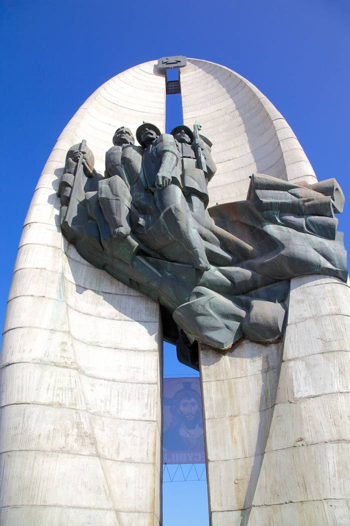
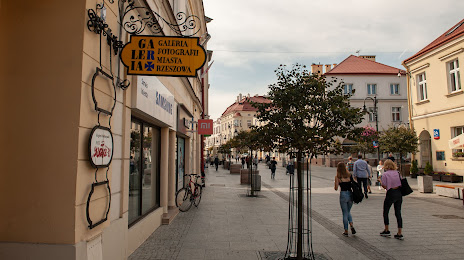
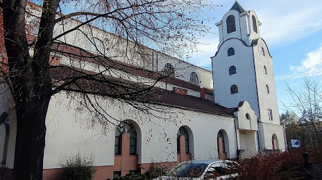
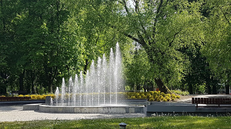
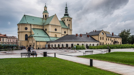
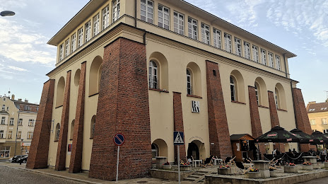
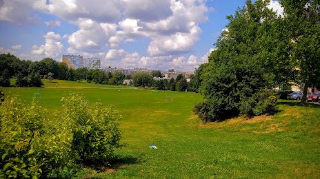
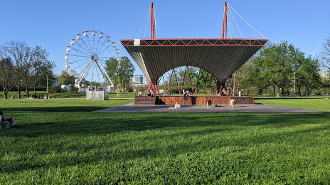
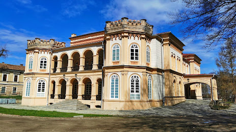
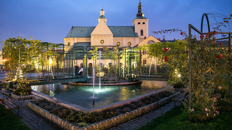
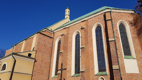
Attractions


Distance to the capital
Distance to the capital (Warsaw) is about — 253 km.