
 Legnica
Krzeszowice
Szczytno
Koszalin
Kielce
Bydgoszcz
Gdynia
Olsztyn
Plock
Ustroń
Rybnik
Gorlice
Rzeszow
Gdańsk
Poznań
Warsaw
Pruszków
Legnica
Krzeszowice
Szczytno
Koszalin
Kielce
Bydgoszcz
Gdynia
Olsztyn
Plock
Ustroń
Rybnik
Gorlice
Rzeszow
Gdańsk
Poznań
Warsaw
Pruszków
Katowice on the map, Poland
Where is located Katowice
Exact location — Katowice, Katowice, Silesian Voivodeship, Poland, marked on the map with a red marker.
Coordinates
Katowice, Poland coordinates in decimal format: latitude — 50.2648919, longitude — 19.0237815. When converted to degrees, minutes, seconds Katowice has the following coordinates: 50°15′53.61 north latitude and 19°1′25.61 east longitude.
Population
Katowice, Katowice, Silesian Voivodeship, Poland, according to our data the population is — 317,316 residents, which is about 0.8% of the total population of the country (Poland).
Comparison of the population on the graph:
Exact time
Time zone for this location Katowice — UTC +2 Europe/Warsaw. Exact time — monday, 4 april 2024 year, 22 h. 10 minutes.
Sunrise and sunset
Katowice, sunrise and sunset data for a date — monday 29.04.2024.
| Sunrise | Sunset | Day (duration) |
|---|---|---|
| 05:25 -2 minutes | 19:56 +1 minute | 14 h. 30 minutes. +3 minutes |
You can control the scale of the map using the auxiliary tools to find out exactly where it is located Katowice. When you change the scale of the map, the width of the ruler also changes (in kilometers and miles).
Nearby cities
The largest cities that are located nearby:
- Chorzow — 6 km
- Sosnowiec — 6 km
- Ruda Slaska — 12 km
- Bytom — 12 km
- Dabrowa Gornicza — 14 km
- Zabrze — 18 km
- Gliwice — 25 km
- Rybnik — 38 km
- Bielsko-Biala — 49 km
- Częstochowa — 61 km
- Kraków — 69 km
- Ostrava
 (Czech Republic) — 73 km
 - Opole — 90 km
- Kielce — 130 km
- Tarnow — 142 km
- Olomouc (Czech Republic) — 147 km
- Wrocław — 166 km
- Łódź — 168 km
- Kalisz — 178 km
Distance to neighboring capitals:
- Bratislava
 (Slovakia) — 274 km
 - Vienna
 (Austria) — 299 km
 - Budapest
 (Hungary) — 308 km
 - Prague (Czech Republic) — 327 km
- Berlin
 (Germany) — 463 km
 - Belgrade
 (Serbia) — 619 km
 - Vilnius
 (Lithuania) — 649 km
 - Minsk
 (Belarus) — 709 km
 - Copenhagen
 (Denmark) — 740 km
 - Kyiv
 (Ukraine) — 815 km
 - Rīga
 (Latvia) — 815 km
 - Bucharest
 (Romania) — 840 km
 - Bern
 (Switzerland) — 927 km
 - Amsterdam
 (Netherlands) — 1008 km
 - Helsinki
 (Finland) — 1163 km
 - Paris
 (France) — 1210 km
 - Moscow
 (Russia) — 1380 km
 - Tbilisi
 (Georgia) — 2191 km
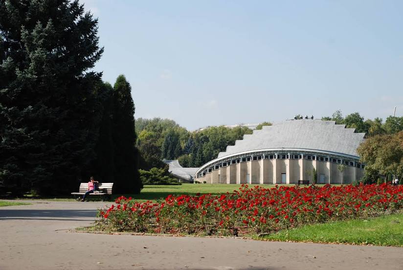
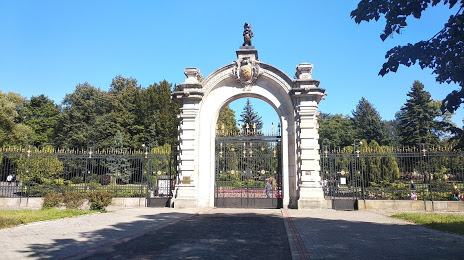
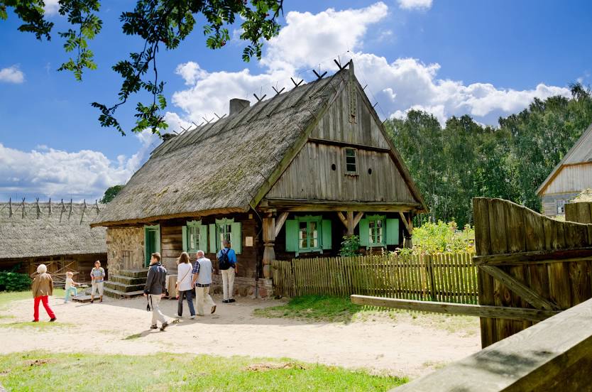
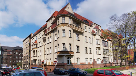
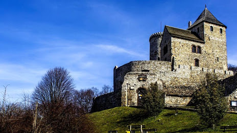
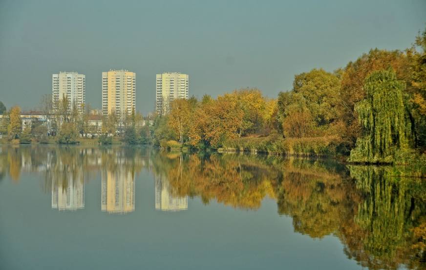
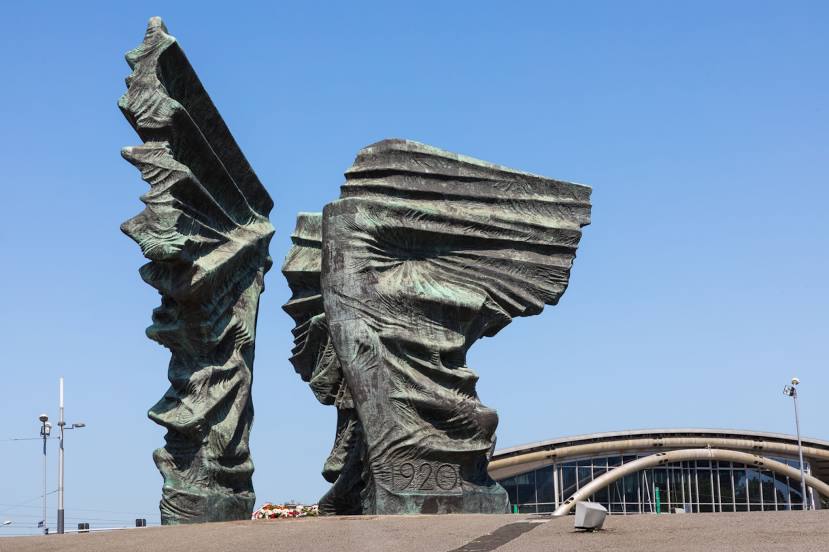
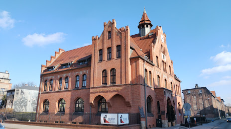
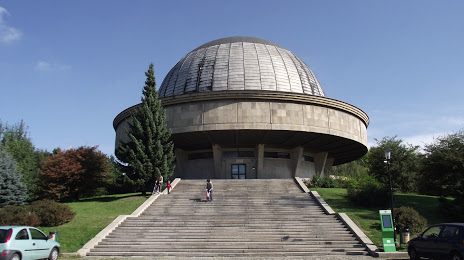
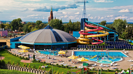
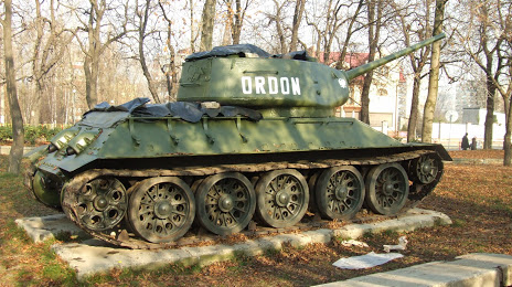
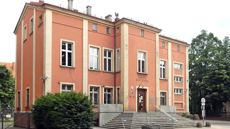
Attractions


Distance to the capital
Distance to the capital (Warsaw) is about — 259 km.