
 Elblag
Piotrków Trybunalski
Łódź
Wrocław
Katowice
Gorzów Wielkopolski
Proszowice
Sokolniki
Miastkowo
Elblag
Piotrków Trybunalski
Łódź
Wrocław
Katowice
Gorzów Wielkopolski
Proszowice
Sokolniki
Miastkowo
Poznań on the map, Poland
Where is located Poznań
Exact location — Poznań, Poznań County, Greater Poland Voivodeship, Poland, marked on the map with a red marker.
Coordinates
Poznań, Poland coordinates in decimal format: latitude — 52.406374, longitude — 16.9251681. When converted to degrees, minutes, seconds Poznań has the following coordinates: 52°24′22.95 north latitude and 16°55′30.61 east longitude.
Population
Poznań, Poznań County, Greater Poland Voivodeship, Poland, according to our data the population is — 570,352 residents, which is about 1.5% of the total population of the country (Poland).
Comparison of the population on the graph:
Exact time
Time zone for this location Poznań — UTC +2 Europe/Warsaw. Exact time — wednesday, 5 may 2024 year, 07 h. 40 minutes.
Sunrise and sunset
Poznań, sunrise and sunset data for a date — wednesday 15.05.2024.
| Sunrise | Sunset | Day (duration) |
|---|---|---|
| 05:00 -1 minute | 20:37 +2 minutes | 15 h. 36 minutes. +3 minutes |
You can control the scale of the map using the auxiliary tools to find out exactly where it is located Poznań. When you change the scale of the map, the width of the ruler also changes (in kilometers and miles).
Nearby cities
The largest cities that are located nearby:
- Kalisz — 106 km
- Bydgoszcz — 107 km
- Zielona Gora — 110 km
- Gorzów Wielkopolski — 119 km
- Torun — 130 km
- Legnica — 143 km
- Wrocław — 144 km
- Wloclawek — 146 km
- Walbrzych — 185 km
- Łódź — 187 km
- Plock — 188 km
- Cottbus
 (Germany) — 191 km
 - Szczecin — 193 km
- Koszalin — 204 km
- Opole — 204 km
- Częstochowa — 234 km
- Berlin (Germany) — 237 km
- Berlin (Germany) — 238 km
- Gdańsk — 242 km
Distance to neighboring capitals:
- Berlin (Germany) — 239 km
- Prague
 (Czech Republic) — 312 km
 - Copenhagen
 (Denmark) — 462 km
 - Vienna
 (Austria) — 469 km
 - Bratislava
 (Slovakia) — 474 km
 - Budapest
 (Hungary) — 566 km
 - Vilnius
 (Lithuania) — 607 km
 - Rīga
 (Latvia) — 684 km
 - Minsk
 (Belarus) — 728 km
 - Amsterdam
 (Netherlands) — 816 km
 - Belgrade
 (Serbia) — 886 km
 - Bern
 (Switzerland) — 912 km
 - Kyiv
 (Ukraine) — 966 km
 - Helsinki
 (Finland) — 994 km
 - Paris
 (France) — 1099 km
 - Bucharest
 (Romania) — 1115 km
 - Moscow
 (Russia) — 1395 km
 - Tbilisi
 (Georgia) — 2401 km
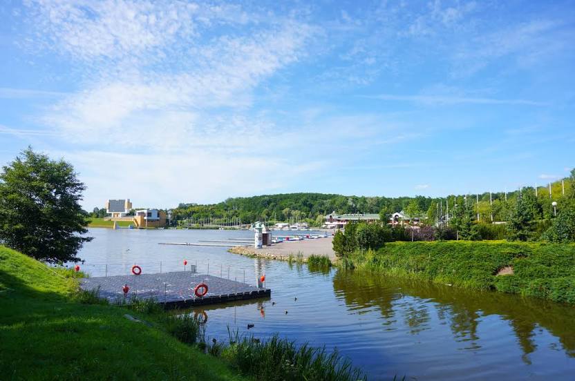
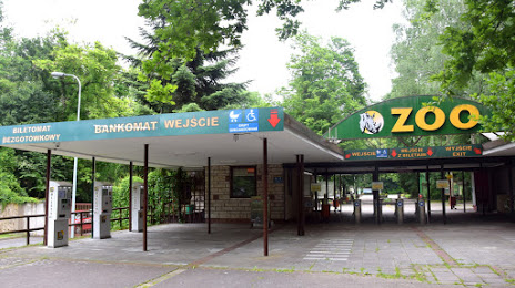
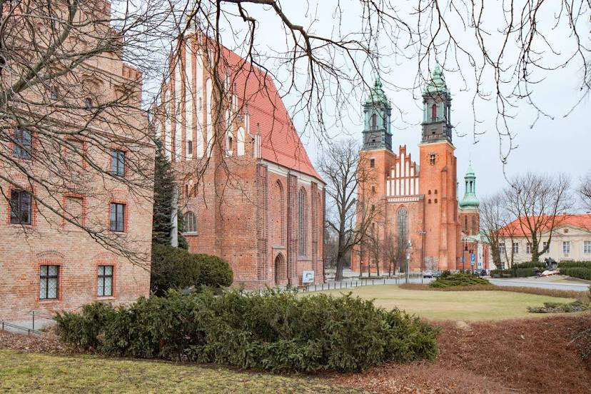
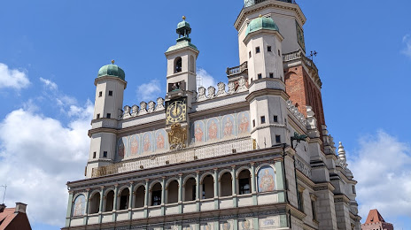
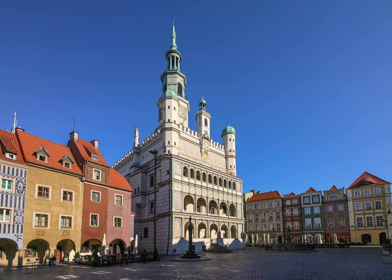
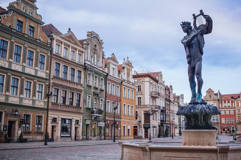
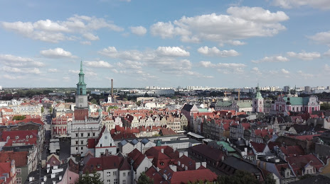
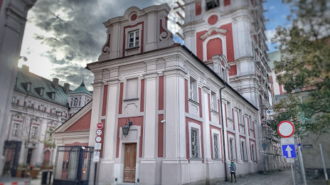
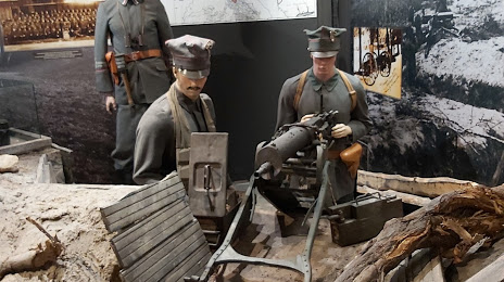
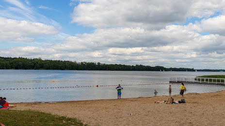
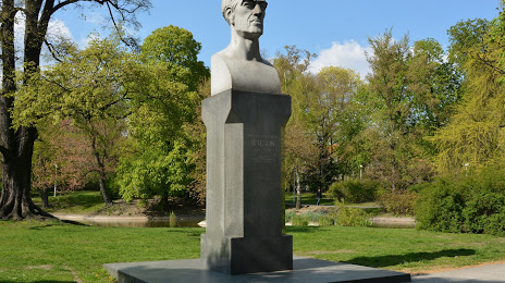
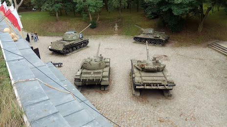
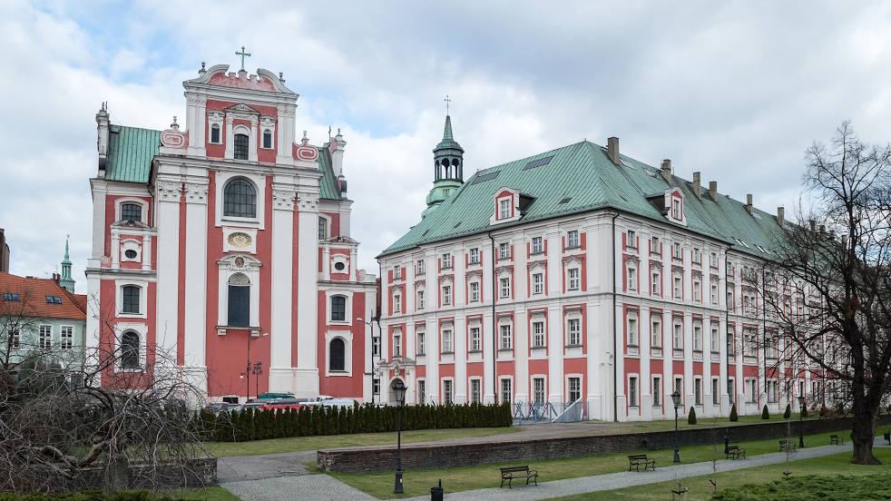
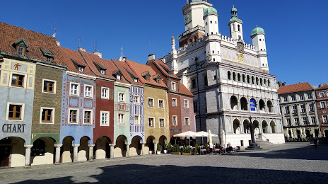
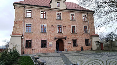
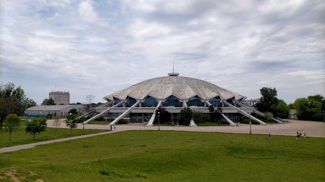
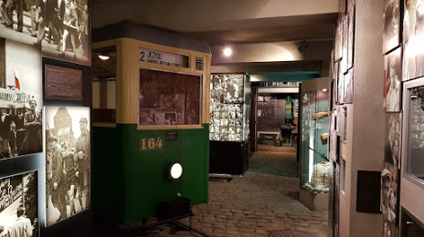
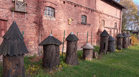
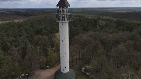
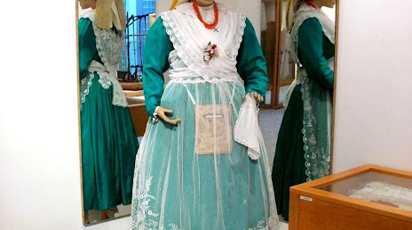
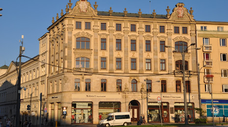
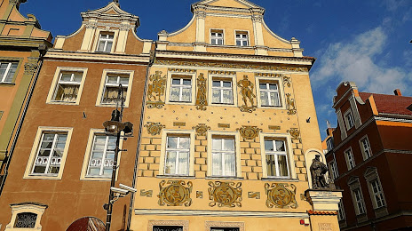
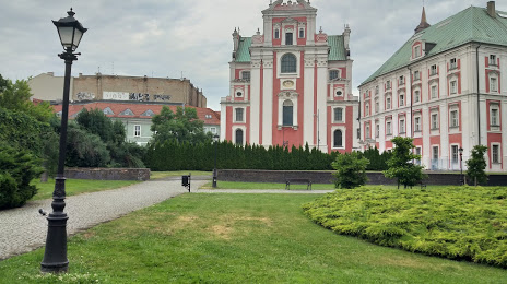
Attractions


Distance to the capital
Distance to the capital (Warsaw) is about — 279 km.