
 Józefów nad Wisłą
Gorzyce Wielkie
Rogówek
Sromowce Niżne
Wyszków County
Kruszewo
Jantar
Sady Górne
Nagoszewo
Józefów nad Wisłą
Gorzyce Wielkie
Rogówek
Sromowce Niżne
Wyszków County
Kruszewo
Jantar
Sady Górne
Nagoszewo
Woodrow Wilson Park (Park Wilsona) on the map, Poznań, Poland
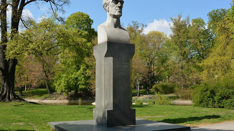
Photo
Where is located Woodrow Wilson Park (Park Wilsona)
Woodrow Wilson Park (Park Wilsona) — local attraction, which is located at Śniadeckich 30, 61-001 Poznań, Poland and belongs to the category — park. Average visitor rating for this place — 4.6 (according to 4654 ratings, information from open sources and relevant for 2022).
Exact location — Woodrow Wilson Park (Park Wilsona), marked on the map with a red marker.
You can get directions to Woodrow Wilson Park (Park Wilsona) on the map from your location.
What else is interesting in Poznań? You can see all the sights if you go to the city page.
Coordinates
Woodrow Wilson Park (Park Wilsona), Poland coordinates in decimal format: latitude — 52.39944015620289, longitude — 16.90199630803721. When converted to degrees, minutes, seconds Woodrow Wilson Park (Park Wilsona) has the following coordinates: 52°23′57.98 north latitude and 16°54′7.19 east longitude.
Nearby cities
The largest cities that are located nearby:
- Kalisz — 106 km
- Bydgoszcz — 107 km
- Zielona Gora — 110 km
- Gorzów Wielkopolski — 119 km
- Torun — 130 km
- Legnica — 143 km
- Wrocław — 144 km
- Wloclawek — 146 km
- Walbrzych — 185 km
- Łódź — 187 km
- Plock — 188 km
- Cottbus
 (Germany) — 191 km
 - Szczecin — 193 km
- Koszalin — 204 km
- Opole — 204 km
- Częstochowa — 234 km
- Berlin (Germany) — 237 km
- Berlin (Germany) — 238 km
- Gdańsk — 242 km
Distance to the capital
Distance to the capital (Warsaw) is about — 280 km.