
 Tychy
Ciechanow
Ostrowiec
Bytów
Chelm
Olkusz
Lomza
Wadowice
Narew
Jaslo
Bełżyce
Ostrów
Sopot
Wieliczka
Wronki
Lowicz
Lancut
Bochnia
Jelenia Góra
Tychy
Ciechanow
Ostrowiec
Bytów
Chelm
Olkusz
Lomza
Wadowice
Narew
Jaslo
Bełżyce
Ostrów
Sopot
Wieliczka
Wronki
Lowicz
Lancut
Bochnia
Jelenia Góra
Boleslawiec on the map, Poland
Where is located Boleslawiec
Exact location — Boleslawiec, Bolesławiec County, Lower Silesian Voivodeship, Poland, marked on the map with a red marker.
Coordinates
Boleslawiec, Poland coordinates in decimal format: latitude — 51.2658553, longitude — 15.5657397. When converted to degrees, minutes, seconds Boleslawiec has the following coordinates: 51°15′57.08 north latitude and 15°33′56.66 east longitude.
Population
Boleslawiec, Bolesławiec County, Lower Silesian Voivodeship, Poland, according to our data the population is — 40,682 residents, which is about 0.1% of the total population of the country (Poland).
Comparison of the population on the graph:
Exact time
Time zone for this location Boleslawiec — UTC +2 Europe/Warsaw. Exact time — monday, 4 april 2024 year, 17 h. 33 minutes.
Sunrise and sunset
Boleslawiec, sunrise and sunset data for a date — monday 29.04.2024.
| Sunrise | Sunset | Day (duration) |
|---|---|---|
| 05:36 -2 minutes | 20:13 +2 minutes | 14 h. 36 minutes. +4 minutes |
You can control the scale of the map using the auxiliary tools to find out exactly where it is located Boleslawiec. When you change the scale of the map, the width of the ruler also changes (in kilometers and miles).
Nearby cities
The largest cities that are located nearby:
- Legnica — 41 km
- Walbrzych — 73 km
- Zielona Gora — 74 km
- Cottbus
 (Germany) — 100 km
 - Wrocław — 104 km
- Dresden (Germany) — 129 km
- Prague
 (Czech Republic) — 154 km
 - Poznań — 156 km
- Gorzów Wielkopolski — 164 km
- Opole — 178 km
- Kalisz — 181 km
- Chemnitz (Germany) — 191 km
- Berlin (Germany) — 200 km
- Berlin (Germany) — 201 km
- Potsdam (Germany) — 210 km
- Leipzig (Germany) — 221 km
- Olomouc (Czech Republic) — 221 km
- Pilsen (Czech Republic) — 230 km
- Brno (Czech Republic) — 241 km
Distance to neighboring capitals:
- Prague (Czech Republic) — 154 km
- Berlin (Germany) — 204 km
- Vienna
 (Austria) — 345 km
 - Bratislava
 (Slovakia) — 364 km
 - Budapest
 (Hungary) — 489 km
 - Copenhagen
 (Denmark) — 529 km
 - Amsterdam
 (Netherlands) — 743 km
 - Vilnius
 (Lithuania) — 753 km
 - Bern
 (Switzerland) — 761 km
 - Belgrade
 (Serbia) — 807 km
 - Rīga
 (Latvia) — 841 km
 - Minsk
 (Belarus) — 861 km
 - Paris
 (France) — 979 km
 - Kyiv
 (Ukraine) — 1052 km
 - Bucharest
 (Romania) — 1092 km
 - Helsinki
 (Finland) — 1149 km
 - Moscow
 (Russia) — 1534 km
 - Tbilisi
 (Georgia) — 2455 km
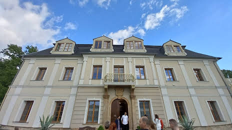
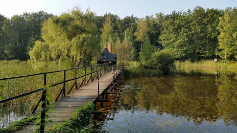
Attractions


Distance to the capital
Distance to the capital (Warsaw) is about — 390 km.