
 Przemyśl
Radzymin
Chorzow
Ruda Slaska
Ostrow Mazowiecka
Sanok
Grudziadz
Brzeszcze
Ryki
Dzierzoniow
Oswiecim
Jastrzębie-Zdrój
Brzesko
Walbrzych
Krotoszyn
Sieradz
Świdnik
Narew
Wadowice
Przemyśl
Radzymin
Chorzow
Ruda Slaska
Ostrow Mazowiecka
Sanok
Grudziadz
Brzeszcze
Ryki
Dzierzoniow
Oswiecim
Jastrzębie-Zdrój
Brzesko
Walbrzych
Krotoszyn
Sieradz
Świdnik
Narew
Wadowice
Nowy Targ on the map, Poland
Where is located Nowy Targ
Exact location — Nowy Targ, Nowy Targ County, Lesser Poland Voivodeship, Poland, marked on the map with a red marker.
Coordinates
Nowy Targ, Poland coordinates in decimal format: latitude — 49.4774647, longitude — 20.032096. When converted to degrees, minutes, seconds Nowy Targ has the following coordinates: 49°28′38.87 north latitude and 20°1′55.55 east longitude.
Population
Nowy Targ, Nowy Targ County, Lesser Poland Voivodeship, Poland, according to our data the population is — 33,763 residents, which is about 0.1% of the total population of the country (Poland).
Comparison of the population on the graph:
Exact time
Time zone for this location Nowy Targ — UTC +2 Europe/Warsaw. Exact time — thursday, 5 may 2024 year, 06 h. 18 minutes.
Sunrise and sunset
Nowy Targ, sunrise and sunset data for a date — thursday 9.05.2024.
| Sunrise | Sunset | Day (duration) |
|---|---|---|
| 05:07 -2 minutes | 20:05 +2 minutes | 15 h. 0 minutes. +4 minutes |
You can control the scale of the map using the auxiliary tools to find out exactly where it is located Nowy Targ. When you change the scale of the map, the width of the ruler also changes (in kilometers and miles).
Nearby cities
The largest cities that are located nearby:
- Kraków — 65 km
- Bielsko-Biala — 79 km
- Tarnow — 90 km
- Dabrowa Gornicza — 110 km
- Sosnowiec — 111 km
- Katowice — 113 km
- Chorzow — 118 km
- Ruda Slaska — 120 km
- Košice
 (Slovakia) — 122 km
 - Bytom — 124 km
- Rybnik — 126 km
- Zabrze — 129 km
- Ostrava
 (Czech Republic) — 132 km
 - Gliwice — 132 km
- Rzeszow — 153 km
- Kielce — 159 km
- Częstochowa — 161 km
- Miskolc
 (Hungary) — 162 km
 - Uzhhorod
 (Ukraine) — 190 km
Distance to neighboring capitals:
- Budapest (Hungary) — 232 km
- Bratislava (Slovakia) — 260 km
- Vienna
 (Austria) — 303 km
 - Prague (Czech Republic) — 407 km
- Belgrade
 (Serbia) — 523 km
 - Berlin
 (Germany) — 574 km
 - Vilnius
 (Lithuania) — 681 km
 - Minsk
 (Belarus) — 715 km
 - Bucharest
 (Romania) — 726 km
 - Kyiv (Ukraine) — 758 km
- Copenhagen
 (Denmark) — 853 km
 - Rīga
 (Latvia) — 874 km
 - Bern
 (Switzerland) — 973 km
 - Amsterdam
 (Netherlands) — 1107 km
 - Helsinki
 (Finland) — 1230 km
 - Paris
 (France) — 1285 km
 - Moscow
 (Russia) — 1372 km
 - Tbilisi
 (Georgia) — 2098 km
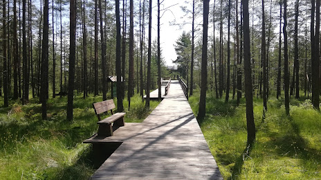
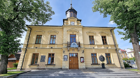
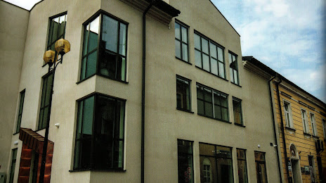
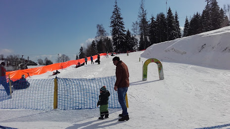
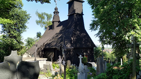
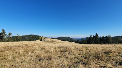
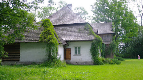
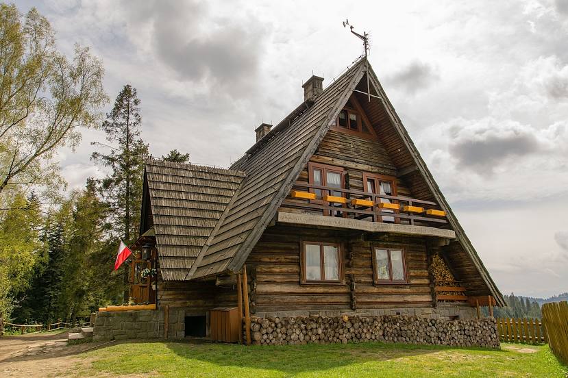
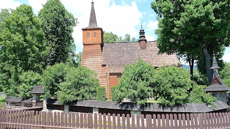
Attractions


Distance to the capital
Distance to the capital (Warsaw) is about — 314 km.