
 Wloclawek
Swinoujscie
Miasteczko Śląskie
Przemyśl
Radzymin
Chorzow
Ruda Slaska
Ostrow Mazowiecka
Sanok
Brzesko
Walbrzych
Krotoszyn
Sieradz
Świdnik
Narew
Wadowice
Lomza
Olkusz
Chelm
Wloclawek
Swinoujscie
Miasteczko Śląskie
Przemyśl
Radzymin
Chorzow
Ruda Slaska
Ostrow Mazowiecka
Sanok
Brzesko
Walbrzych
Krotoszyn
Sieradz
Świdnik
Narew
Wadowice
Lomza
Olkusz
Chelm
Pila on the map, Poland
Where is located Pila
Exact location — Pila, Piła County, Greater Poland Voivodeship, Poland, marked on the map with a red marker.
Coordinates
Pila, Poland coordinates in decimal format: latitude — 53.1509671, longitude — 16.7382266. When converted to degrees, minutes, seconds Pila has the following coordinates: 53°9′3.48 north latitude and 16°44′17.62 east longitude.
Population
Pila, Piła County, Greater Poland Voivodeship, Poland, according to our data the population is — 75,532 residents, which is about 0.2% of the total population of the country (Poland).
Comparison of the population on the graph:
Exact time
Time zone for this location Pila — UTC +2 Europe/Warsaw. Exact time — thursday, 5 may 2024 year, 11 h. 46 minutes.
Sunrise and sunset
Pila, sunrise and sunset data for a date — thursday 9.05.2024.
| Sunrise | Sunset | Day (duration) |
|---|---|---|
| 05:07 -2 minutes | 20:31 +2 minutes | 15 h. 24 minutes. +4 minutes |
You can control the scale of the map using the auxiliary tools to find out exactly where it is located Pila. When you change the scale of the map, the width of the ruler also changes (in kilometers and miles).
Nearby cities
The largest cities that are located nearby:
- Poznań — 83 km
- Bydgoszcz — 84 km
- Gorzów Wielkopolski — 111 km
- Koszalin — 121 km
- Torun — 125 km
- Szczecin — 147 km
- Zielona Gora — 158 km
- Wloclawek — 166 km
- Kalisz — 179 km
- Gdańsk — 181 km
- Gdynia — 190 km
- Elblag — 205 km
- Plock — 210 km
- Legnica — 219 km
- Cottbus
 (Germany) — 226 km
 - Wrocław — 227 km
- Berlin (Germany) — 235 km
- Berlin (Germany) — 237 km
- Łódź — 241 km
Distance to neighboring capitals:
- Berlin (Germany) — 235 km
- Prague
 (Czech Republic) — 377 km
 - Copenhagen
 (Denmark) — 389 km
 - Vienna
 (Austria) — 550 km
 - Bratislava
 (Slovakia) — 557 km
 - Vilnius
 (Lithuania) — 585 km
 - Rīga
 (Latvia) — 631 km
 - Budapest
 (Hungary) — 650 km
 - Minsk
 (Belarus) — 720 km
 - Amsterdam
 (Netherlands) — 801 km
 - Helsinki
 (Finland) — 927 km
 - Bern
 (Switzerland) — 956 km
 - Belgrade
 (Serbia) — 969 km
 - Kyiv
 (Ukraine) — 993 km
 - Paris
 (France) — 1112 km
 - Bucharest
 (Romania) — 1186 km
 - Moscow
 (Russia) — 1375 km
 - Tbilisi
 (Georgia) — 2440 km
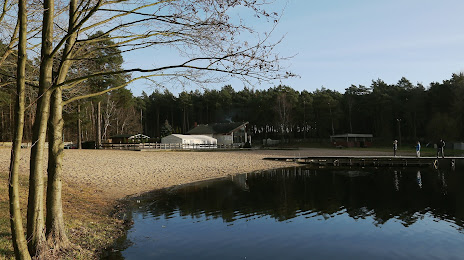
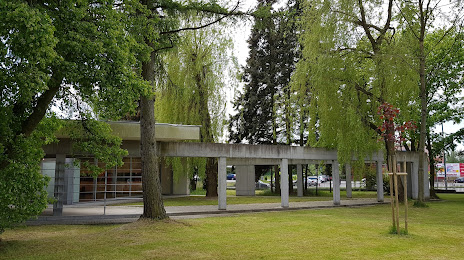
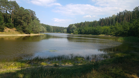
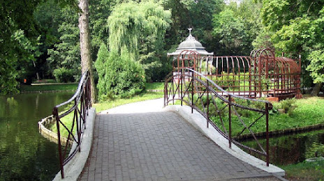
Attractions


Distance to the capital
Distance to the capital (Warsaw) is about — 306 km.