
 Sosnowiec
Tczew
Bialogard
Sulecin
Baboszewo
Wloclawek
Swinoujscie
Miasteczko Śląskie
Przemyśl
Narew
Wadowice
Lomza
Olkusz
Chelm
Bytów
Ostrowiec
Ciechanow
Tychy
Bytom
Sosnowiec
Tczew
Bialogard
Sulecin
Baboszewo
Wloclawek
Swinoujscie
Miasteczko Śląskie
Przemyśl
Narew
Wadowice
Lomza
Olkusz
Chelm
Bytów
Ostrowiec
Ciechanow
Tychy
Bytom
Starogard Gdański on the map, Poland
Where is located Starogard Gdański
Exact location — Starogard Gdański, Starogard County, Pomeranian Voivodeship, Poland, marked on the map with a red marker.
Coordinates
Starogard Gdański, Poland coordinates in decimal format: latitude — 53.965614, longitude — 18.5162736. When converted to degrees, minutes, seconds Starogard Gdański has the following coordinates: 53°57′56.21 north latitude and 18°30′58.58 east longitude.
Population
Starogard Gdański, Starogard County, Pomeranian Voivodeship, Poland, according to our data the population is — 48,202 residents, which is about 0.1% of the total population of the country (Poland).
Comparison of the population on the graph:
Exact time
Time zone for this location Starogard Gdański — UTC +2 Europe/Warsaw. Exact time — tuesday, 5 may 2024 year, 20 h. 17 minutes.
Sunrise and sunset
Starogard Gdański, sunrise and sunset data for a date — tuesday 14.05.2024.
| Sunrise | Sunset | Day (duration) |
|---|---|---|
| 04:48 -2 minutes | 20:36 +2 minutes | 15 h. 48 minutes. +4 minutes |
You can control the scale of the map using the auxiliary tools to find out exactly where it is located Starogard Gdański. When you change the scale of the map, the width of the ruler also changes (in kilometers and miles).
Nearby cities
The largest cities that are located nearby:
- Gdańsk — 44 km
- Gdynia — 61 km
- Elblag — 61 km
- Bydgoszcz — 99 km
- Torun — 105 km
- Olsztyn — 130 km
- Wloclawek — 150 km
- Kaliningrad
 (Russia) — 152 km
 - Koszalin — 154 km
- Plock — 176 km
- Poznań — 203 km
- Kalisz — 245 km
- Łódź — 252 km
- Klaipėda
 (Lithuania) — 252 km
 - Gorzów Wielkopolski — 258 km
- Szczecin — 268 km
- Zielona Gora — 304 km
- Bialystok — 322 km
- Wrocław — 332 km
Distance to neighboring capitals:
- Berlin
 (Germany) — 376 km
 - Copenhagen
 (Denmark) — 426 km
 - Vilnius (Lithuania) — 446 km
- Rīga
 (Latvia) — 484 km
 - Prague
 (Czech Republic) — 515 km
 - Minsk
 (Belarus) — 592 km
 - Bratislava
 (Slovakia) — 655 km
 - Vienna
 (Austria) — 658 km
 - Budapest
 (Hungary) — 720 km
 - Helsinki
 (Finland) — 791 km
 - Kyiv
 (Ukraine) — 905 km
 - Amsterdam
 (Netherlands) — 924 km
 - Belgrade
 (Serbia) — 1030 km
 - Bern
 (Switzerland) — 1104 km
 - Bucharest
 (Romania) — 1194 km
 - Moscow (Russia) — 1235 km
- Paris
 (France) — 1253 km
 - Tbilisi
 (Georgia) — 2366 km
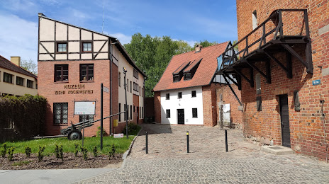
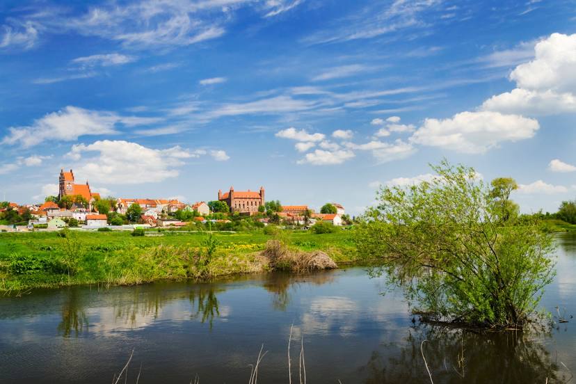
Attractions


Distance to the capital
Distance to the capital (Warsaw) is about — 255 km.