
 Słońsk
Strzegowo
Winnica
Bieruń
Pulawy
Srem
Wyszkow
Pokrzywnica
Kluczbork
Minsk Mazowiecki
Brodnica
Nowy Dwór Mazowiecki
Slubice
Chrzanow
Janikowo
Cisna
Milanówek
Raszyn
Radzyń Chełmiński
Słońsk
Strzegowo
Winnica
Bieruń
Pulawy
Srem
Wyszkow
Pokrzywnica
Kluczbork
Minsk Mazowiecki
Brodnica
Nowy Dwór Mazowiecki
Slubice
Chrzanow
Janikowo
Cisna
Milanówek
Raszyn
Radzyń Chełmiński
Trzebiatów on the map, Poland
Where is located Trzebiatów
Exact location — Trzebiatów, Gryfice County, West Pomeranian Voivodeship, Poland, marked on the map with a red marker.
Coordinates
Trzebiatów, Poland coordinates in decimal format: latitude — 54.0611912, longitude — 15.2647391. When converted to degrees, minutes, seconds Trzebiatów has the following coordinates: 54°3′40.29 north latitude and 15°15′53.06 east longitude.
Population
Trzebiatów, Gryfice County, West Pomeranian Voivodeship, Poland, according to our data the population is — 10,322 residents, which is about 0% of the total population of the country (Poland).
Comparison of the population on the graph:
Exact time
Time zone for this location Trzebiatów — UTC +2 Europe/Warsaw. Exact time — tuesday, 5 may 2024 year, 02 h. 47 minutes.
Sunrise and sunset
Trzebiatów, sunrise and sunset data for a date — tuesday 7.05.2024.
| Sunrise | Sunset | Day (duration) |
|---|---|---|
| 05:13 -2 minutes | 20:37 +2 minutes | 15 h. 24 minutes. +4 minutes |
You can control the scale of the map using the auxiliary tools to find out exactly where it is located Trzebiatów. When you change the scale of the map, the width of the ruler also changes (in kilometers and miles).
Nearby cities
The largest cities that are located nearby:
- Koszalin — 60 km
- Szczecin — 84 km
- Gorzów Wielkopolski — 147 km
- Rostock
 (Germany) — 205 km
 - Bydgoszcz — 210 km
- Berlin (Germany) — 211 km
- Berlin (Germany) — 214 km
- Poznań — 215 km
- Gdynia — 216 km
- Gdańsk — 220 km
- Malmö
 (Sweden) — 222 km
 - Zielona Gora — 236 km
- Potsdam (Germany) — 237 km
- Copenhagen
 (Denmark) — 245 km
 - Torun — 250 km
- Cottbus (Germany) — 263 km
- Elblag — 268 km
- Wloclawek — 299 km
- Kalisz — 319 km
Distance to neighboring capitals:
- Berlin (Germany) — 211 km
- Copenhagen (Denmark) — 249 km
- Prague
 (Czech Republic) — 447 km
 - Rīga
 (Latvia) — 642 km
 - Vilnius
 (Lithuania) — 652 km
 - Vienna
 (Austria) — 656 km
 - Bratislava
 (Slovakia) — 670 km
 - Amsterdam
 (Netherlands) — 715 km
 - Budapest
 (Hungary) — 777 km
 - Minsk
 (Belarus) — 803 km
 - Helsinki
 (Finland) — 895 km
 - Bern
 (Switzerland) — 964 km
 - Paris
 (France) — 1063 km
 - Belgrade
 (Serbia) — 1097 km
 - Kyiv
 (Ukraine) — 1111 km
 - Bucharest
 (Romania) — 1326 km
 - Moscow
 (Russia) — 1435 km
 - Tbilisi
 (Georgia) — 2566 km
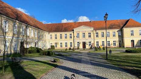
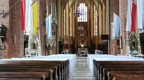
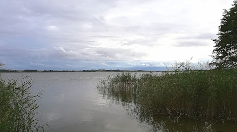
Attractions

Distance to the capital
Distance to the capital (Warsaw) is about — 434 km.