Schodack Landing — Lavina
Schodack Landing — Thomasville
Schodack Landing — Caney
Schodack Landing — Kitzmiller
Schodack Landing — Blairstown
Schodack Landing — Tacna
Schodack Landing — Inola
Schodack Landing — East Pharsalia
Schodack Landing — Hunter Mountain Airport
Schodack Landing — Concho County
Schodack Landing — Sumiton
Schodack Landing — Redfield
Schodack Landing — Ewing Township
Schodack Landing — Clovis
Schodack Landing — Saddle River
Schodack Landing — Shelbyville
Schodack Landing — Chimney Rock
Schodack Landing — Putney
Schodack Landing — Sioux Falls Regional Airport
Glenmont
Albany
Delmar
Guilderland
Rotterdam
Schenectady County
Pattersonville
Amsterdam
Amsterdam Airfield
Fultonville
Palatine Bridge
Herkimer
Mohawk
Ilion
Utica
Whitesboro
Oriskany
Verona
Oneida
Canastota
Chittenango
Fayetteville
East Syracuse
North Syracuse
Syracuse
Liverpool
Van Buren
Elbridge
Weedsport
Seneca Falls
Oaks Corners
Shortsville
Pittsford
Rochester
Mumford
Riga
Le Roy
South Byron
Elba
Clarence
Bowmansville
Williamsville
Gardenville
Athol Springs
Dunkirk
Fredonia
Brocton
Portland
Erie
McKean
Cranesville
Conneaut
North Kingsville
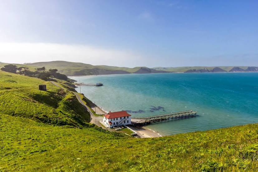
Schodack Landing — Novato distance, route on the map
Distance by car
Distance between Schodack Landing, New York, United States and Novato, California, United States by car is — km, or miles. To travel this distance by car, you need minute, or h.
Route on the map, driving directions
Car route Schodack Landing — Novato was created automatically. The road on the map is shown as a blue line. By moving the markers, you can create a new route through the points you need.
Passing cities through which the car route passes: Selkirk, Glenmont, Albany, Delmar, Guilderland, Rotterdam, Schenectady County, Pattersonville, Amsterdam, Amsterdam Airfield, Fultonville, Palatine Bridge, Herkimer, Mohawk, Ilion, Utica, Whitesboro, Oriskany, Verona, Oneida, Canastota, Chittenango, Fayetteville, East Syracuse, North Syracuse, Syracuse, Liverpool, Van Buren, Elbridge, Weedsport, Seneca Falls, Oaks Corners, Shortsville, Pittsford, Rochester, Mumford, Riga, Le Roy, South Byron, Elba, Clarence, Bowmansville, Williamsville, Gardenville, Athol Springs, Dunkirk, Fredonia, Brocton, Portland, Erie, McKean, Cranesville, Conneaut, North Kingsville.
Distance by plane
If you decide to take a trip Schodack Landing Novato by plane, then you have to fly the distance — 4111 km or 2549 miles. It is marked on the map with a gray line (between two points in a straight line).
Flight time
Estimated flight time Schodack Landing Novato by plane at cruising speed 750 km / h will be — 5 h. and 28 min.
Direction of movement
United States, Schodack Landing — right-hand traffic. United States, Novato — right-hand traffic.
Difference in time
Schodack Landing and Novato are in different time zones. The time difference is 3 hours (UTC -4 America/New_York, UTC -7 America/Los_Angeles).
Interesting Facts
Information on alternative ways to get to your destination.
The length of this distance is about 10.3% of the total length of the equator.
The cost of travel
Calculate the cost of the trip yourself using the fuel consumption calculator, changing the data in the table.