 West Sacramento
Agoura Hills
Garland
Stockbridge
Dothan
Placerville
Goldsboro
High Point
Wilson
Valparaiso
Stowe
Colchester
Saratoga Springs
Fultonville
Elizabethtown
Asheville
Independence
Watertown
Chatsworth
West Sacramento
Agoura Hills
Garland
Stockbridge
Dothan
Placerville
Goldsboro
High Point
Wilson
Valparaiso
Stowe
Colchester
Saratoga Springs
Fultonville
Elizabethtown
Asheville
Independence
Watertown
Chatsworth
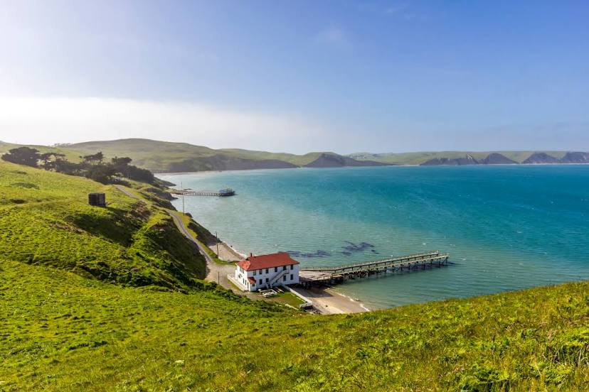
Novato on the map, United States
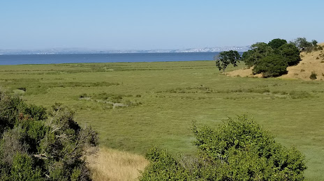
Where is located Novato
Exact location — Novato, Marin County, California, United States, marked on the map with a red marker.
Coordinates
Novato, United States coordinates in decimal format: latitude — 38.1074198, longitude — -122.5697032. When converted to degrees, minutes, seconds Novato has the following coordinates: 38°6′26.71 north latitude and -122°34′10.93 east longitude.
Population
Novato, Marin County, California, United States, according to our data the population is — 48,817 residents, which is about 0% of the total population of the country (United States).
Comparison of the population on the graph:
Exact time
Time zone for this location Novato — UTC -7 America/Los_Angeles. Exact time — friday, 4 april 2024 year, 19 h. 50 minutes.
Sunrise and sunset
Novato, sunrise and sunset data for a date — friday 26.04.2024.
| Sunrise | Sunset | Day (duration) |
|---|---|---|
| 06:21 -2 minutes | 19:54 +1 minute | 13 h. 36 minutes. +3 minutes |
You can control the scale of the map using the auxiliary tools to find out exactly where it is located Novato. When you change the scale of the map, the width of the ruler also changes (in kilometers and miles).
Nearby cities
The largest cities that are located nearby:
- Vallejo — 27 km
- Richmond — 28 km
- Berkeley — 37 km
- Santa Rosa — 39 km
- San Francisco — 39 km
- Oakland — 42 km
- Fairfield — 49 km
- Concord — 49 km
- Hayward — 65 km
- Fremont — 80 km
- Sunnyvale — 94 km
- Santa Clara — 99 km
- San Jose — 104 km
- Sacramento — 107 km
- Stockton — 113 km
- Roseville — 132 km
- Modesto — 147 km
- Salinas — 178 km
- Reno — 283 km
Distance to neighboring capitals:
- Mexico City
 (Mexico) — 3071 km
 - Ottawa
 (Canada) — 3915 km
 - Belmopan
 (Belize) — 4021 km
 - Guatemala City
 (Guatemala) — 4089 km
 - Nuuk
 (Greenland) — 5348 km
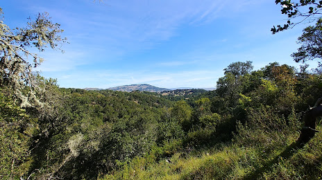
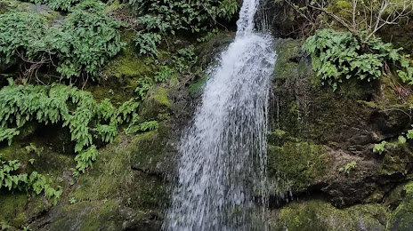
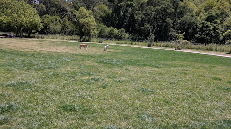
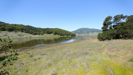
Attractions


Distance to the capital
Distance to the capital (Washington) is about — 3922 km.