 Palm Beach Gardens
Deer Lodge
Reno
Mount Pleasant
Mayfield Airport
Columbia
Elizabethton
Fort Valley
Madisonville
Angier
Novato
Sulphur
Dunn
Hillsborough
Gaithersburg
Chilhowie
Kankakee
New Buffalo
Harvey
Palm Beach Gardens
Deer Lodge
Reno
Mount Pleasant
Mayfield Airport
Columbia
Elizabethton
Fort Valley
Madisonville
Angier
Novato
Sulphur
Dunn
Hillsborough
Gaithersburg
Chilhowie
Kankakee
New Buffalo
Harvey
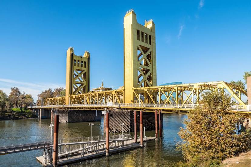
West Sacramento on the map, United States
Where is located West Sacramento
Exact location — West Sacramento, Yolo County, California, United States, marked on the map with a red marker.
Coordinates
West Sacramento, United States coordinates in decimal format: latitude — 38.5804609, longitude — -121.530234. When converted to degrees, minutes, seconds West Sacramento has the following coordinates: 38°34′49.66 north latitude and -121°31′48.84 east longitude.
Population
West Sacramento, Yolo County, California, United States, according to our data the population is — 41,446 residents, which is about 0% of the total population of the country (United States).
Comparison of the population on the graph:
Exact time
Time zone for this location West Sacramento — UTC -7 America/Los_Angeles. Exact time — friday, 4 april 2024 year, 11 h. 42 minutes.
Sunrise and sunset
West Sacramento, sunrise and sunset data for a date — friday 26.04.2024.
| Sunrise | Sunset | Day (duration) |
|---|---|---|
| 06:16 -2 minutes | 19:50 +1 minute | 13 h. 36 minutes. +3 minutes |
You can control the scale of the map using the auxiliary tools to find out exactly where it is located West Sacramento. When you change the scale of the map, the width of the ruler also changes (in kilometers and miles).
Nearby cities
The largest cities that are located nearby:
- Sacramento — 3 km
- Roseville — 28 km
- Fairfield — 57 km
- Stockton — 72 km
- Concord — 80 km
- Vallejo — 82 km
- Berkeley — 102 km
- Richmond — 103 km
- Santa Rosa — 104 km
- Oakland — 107 km
- Hayward — 112 km
- Modesto — 114 km
- San Francisco — 118 km
- Fremont — 121 km
- Santa Clara — 141 km
- San Jose — 141 km
- Sunnyvale — 141 km
- Reno — 180 km
- Salinas — 211 km
Distance to neighboring capitals:
- Mexico City
 (Mexico) — 3030 km
 - Ottawa
 (Canada) — 3811 km
 - Belmopan
 (Belize) — 3964 km
 - Guatemala City
 (Guatemala) — 4039 km
 - Nuuk
 (Greenland) — 5254 km
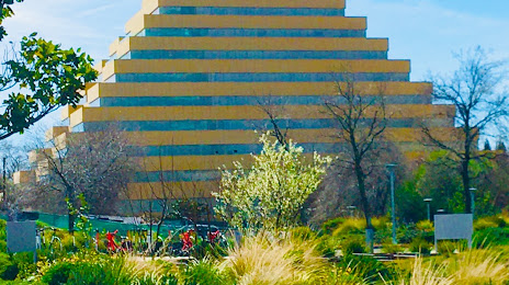
Attractions

Distance to the capital
Distance to the capital (Washington) is about — 3821 km.