 Pittsboro
Anderson
Hiawassee
Bishop
West Sacramento
Agoura Hills
Garland
Stockbridge
Dothan
Fultonville
Elizabethtown
Asheville
Independence
Watertown
Chatsworth
West Hollywood
Columbia
Somers
Voorheesville
Pittsboro
Anderson
Hiawassee
Bishop
West Sacramento
Agoura Hills
Garland
Stockbridge
Dothan
Fultonville
Elizabethtown
Asheville
Independence
Watertown
Chatsworth
West Hollywood
Columbia
Somers
Voorheesville
Gaithersburg on the map, United States
Where is located Gaithersburg
Exact location — Gaithersburg, Montgomery County, Maryland, United States, marked on the map with a red marker.
Coordinates
Gaithersburg, United States coordinates in decimal format: latitude — 39.1434406, longitude — -77.2013705. When converted to degrees, minutes, seconds Gaithersburg has the following coordinates: 39°8′36.39 north latitude and -77°12′4.93 east longitude.
Population
Gaithersburg, Montgomery County, Maryland, United States, according to our data the population is — 60,062 residents, which is about 0% of the total population of the country (United States).
Comparison of the population on the graph:
Exact time
Time zone for this location Gaithersburg — UTC -4 America/New_York. Exact time — friday, 4 april 2024 year, 05 h. 00 minutes.
Sunrise and sunset
Gaithersburg, sunrise and sunset data for a date — friday 26.04.2024.
| Sunrise | Sunset | Day (duration) |
|---|---|---|
| 06:18 -2 minutes | 19:54 +1 minute | 13 h. 36 minutes. +3 minutes |
You can control the scale of the map using the auxiliary tools to find out exactly where it is located Gaithersburg. When you change the scale of the map, the width of the ruler also changes (in kilometers and miles).
Nearby cities
The largest cities that are located nearby:
- Alexandria — 40 km
- Baltimore — 53 km
- Richmond — 178 km
- Philadelphia — 194 km
- Allentown — 216 km
- Hampton — 246 km
- Norfolk — 266 km
- Toms River — 270 km
- Chesapeake — 275 km
- Virginia Beach — 275 km
- Pittsburgh — 275 km
- Edison — 279 km
- Elizabeth — 302 km
- Newark — 309 km
- Brooklyn — 319 km
- New York — 319 km
- Paterson — 320 km
- Yonkers — 339 km
- Stamford — 371 km
Distance to neighboring capitals:
- Ottawa
 (Canada) — 709 km
 - Belmopan
 (Belize) — 2680 km
 - Guatemala City
 (Guatemala) — 3024 km
 - Mexico City
 (Mexico) — 3038 km
 - Nuuk
 (Greenland) — 3243 km
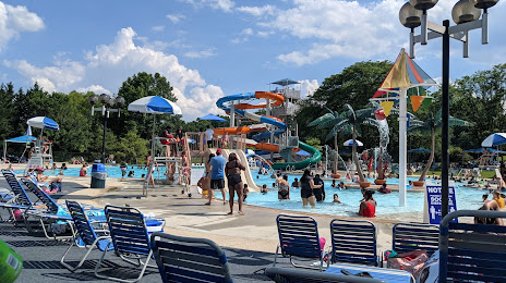
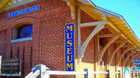
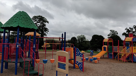
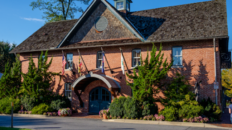
Attractions


Distance to the capital
Distance to the capital (Washington) is about — 30 km.