 Fort Valley
Madisonville
La Vergne
Smyrna/Rutherford County Airport Authority
Holly Springs
Harrisburg
Cookeville
Cave City
Paducah
Pittsboro
Southport
Fort Cobb
Duncan
Kill Devil Hills
Wallace
Warsaw
Angier
Novato
Sulphur
Fort Valley
Madisonville
La Vergne
Smyrna/Rutherford County Airport Authority
Holly Springs
Harrisburg
Cookeville
Cave City
Paducah
Pittsboro
Southport
Fort Cobb
Duncan
Kill Devil Hills
Wallace
Warsaw
Angier
Novato
Sulphur
High Point on the map, United States
Where is located High Point
Exact location — High Point, Guilford County, North Carolina, United States, marked on the map with a red marker.
Coordinates
High Point, United States coordinates in decimal format: latitude — 35.9556923, longitude — -80.0053176. When converted to degrees, minutes, seconds High Point has the following coordinates: 35°57′20.49 north latitude and -80°0′19.14 east longitude.
Population
High Point, Guilford County, North Carolina, United States, according to our data the population is — 94,281 residents, which is about 0% of the total population of the country (United States).
Comparison of the population on the graph:
Exact time
Time zone for this location High Point — UTC -4 America/New_York. Exact time — friday, 4 april 2024 year, 18 h. 53 minutes.
Sunrise and sunset
High Point, sunrise and sunset data for a date — friday 26.04.2024.
| Sunrise | Sunset | Day (duration) |
|---|---|---|
| 06:35 -1 minute | 20:00 +1 minute | 13 h. 24 minutes. +2 minutes |
You can control the scale of the map using the auxiliary tools to find out exactly where it is located High Point. When you change the scale of the map, the width of the ruler also changes (in kilometers and miles).
Nearby cities
The largest cities that are located nearby:
- Greensboro — 23 km
- Winston-Salem — 27 km
- Durham — 99 km
- Charlotte — 111 km
- Cary — 111 km
- Raleigh — 124 km
- Fayetteville — 143 km
- Columbia — 236 km
- Richmond — 285 km
- Chesapeake — 341 km
- Norfolk — 344 km
- Hampton — 344 km
- Knoxville — 350 km
- Charleston — 352 km
- Virginia Beach — 370 km
- Alexandria — 405 km
- Savannah — 440 km
- Baltimore — 469 km
- Atlanta — 471 km
Distance to neighboring capitals:
- Ottawa
 (Canada) — 1113 km
 - Belmopan
 (Belize) — 2253 km
 - Guatemala City
 (Guatemala) — 2595 km
 - Mexico City
 (Mexico) — 2622 km
 - Nuuk
 (Greenland) — 3665 km
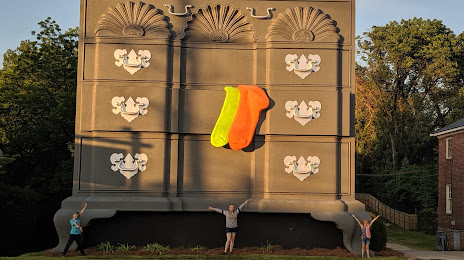
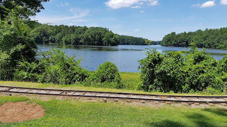
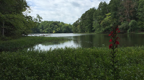
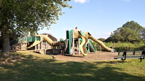
Attractions


Distance to the capital
Distance to the capital (Washington) is about — 420 km.