Josephine — Coconut Creek
Josephine — Redvale
Josephine — Snowshoe
Josephine — Curdsville
Josephine — Parkston
Josephine — Alameda
Josephine — Hustler
Josephine — Walnut Grove
Josephine — Hookstown
Josephine — Fort Oglethorpe
Josephine — Bedford
Josephine — Ontario
Josephine — Saxapahaw
Josephine — Merkel
Josephine — Lunenburg
Josephine — Lempster
Josephine — Henefer
Josephine — Harborton
Josephine — Harwinton
Rockwall
Rockwall
Terrell
Elmo
Lindale
Kilgore
Gregg County
Longview
Hallsville
Keithville
Frierson
Natchitoches
Alexandria
Cheneyville
Bunkie
Saint Landry
Washington
Opelousas
Port Barre
Krotz Springs
Lottie
Fordoche
Maringouin
Oscar
Port Allen
La National Guard
Prairieville
Dutch Town
Gonzales
Saint Amant
Garyville
Reserve
LaPlace
Louis Armstrong New Orleans International Airport
Kenner
Metairie
Josephine — New Orleans distance, route on the map
Distance by car
Distance between Josephine, Texas, United States and New Orleans, Louisiana, United States by car is — km, or miles. To travel this distance by car, you need minute, or h.
Route on the map, driving directions
Car route Josephine — New Orleans was created automatically. The road on the map is shown as a blue line. By moving the markers, you can create a new route through the points you need.
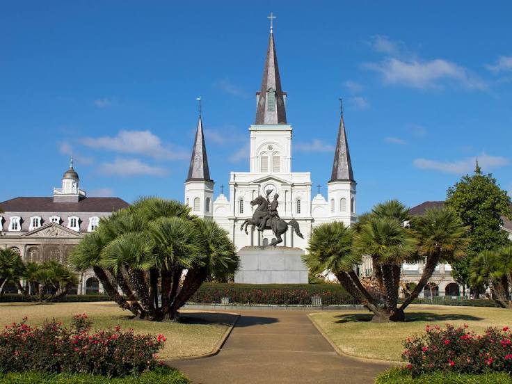
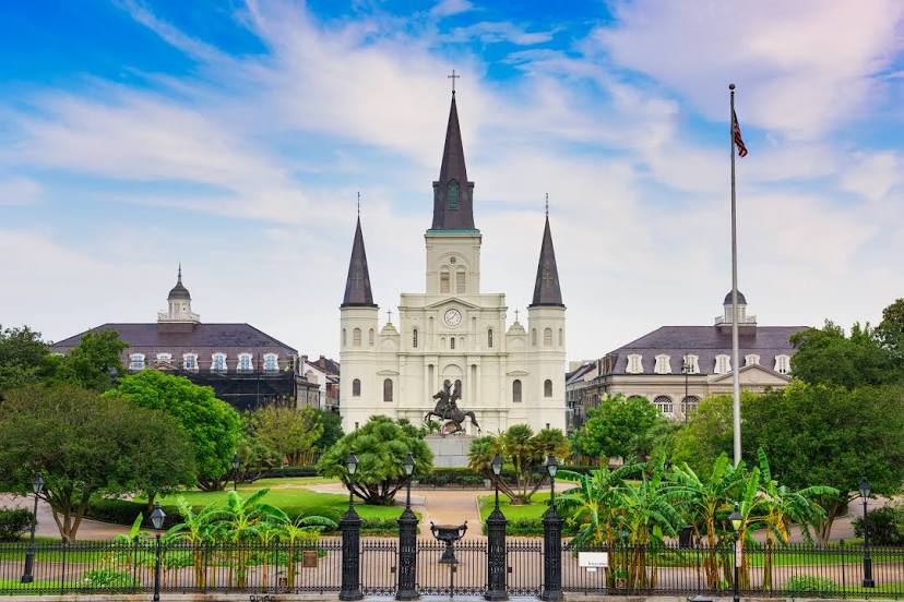
Passing cities through which the car route passes: Royse City, Rockwall, Rockwall, Terrell, Elmo, Lindale, Kilgore, Gregg County, Longview, Hallsville, Keithville, Frierson, Natchitoches, Alexandria, Cheneyville, Bunkie, Saint Landry, Washington, Opelousas, Port Barre, Krotz Springs, Lottie, Fordoche, Maringouin, Oscar, Port Allen, La National Guard, Prairieville, Dutch Town, Gonzales, Saint Amant, Garyville, Reserve, LaPlace, Louis Armstrong New Orleans International Airport, Kenner, Metairie.
Distance by plane
If you decide to take a trip Josephine New Orleans by plane, then you have to fly the distance — 685 km or 425 miles. It is marked on the map with a gray line (between two points in a straight line).
Flight time
Estimated flight time Josephine New Orleans by plane at cruising speed 750 km / h will be — 54 min.
Direction of movement
United States, Josephine — right-hand traffic. United States, New Orleans — right-hand traffic.
Difference in time
Josephine and New Orleans are in the same time zone. Between them there is no time difference (UTC -5 America/Chicago).
Interesting Facts
Information on alternative ways to get to your destination.
The length of this distance is about 1.7% of the total length of the equator.
The cost of travel
Calculate the cost of the trip yourself using the fuel consumption calculator, changing the data in the table.