
 Courbevoie
La Gaude
Clermont
Meylan
Montévrain
Val-de-Reuil
Muret
Brest
Corte
Créteil
Boulogne-Billancourt
Goussainville
Versailles
Nice
La Couronne
Nancy
Avaray
Lognes
Mérignac
Courbevoie
La Gaude
Clermont
Meylan
Montévrain
Val-de-Reuil
Muret
Brest
Corte
Créteil
Boulogne-Billancourt
Goussainville
Versailles
Nice
La Couronne
Nancy
Avaray
Lognes
Mérignac
Rennes on the map, France
Where is located Rennes
Exact location — Rennes, Ille-et-Vilaine, Brittany, France, marked on the map with a red marker.
Coordinates
Rennes, France coordinates in decimal format: latitude — 48.117266, longitude — -1.6777926. When converted to degrees, minutes, seconds Rennes has the following coordinates: 48°7′2.16 north latitude and -1°40′40.05 east longitude.
Population
Rennes, Ille-et-Vilaine, Brittany, France, according to our data the population is — 213,334 residents, which is about 0.3% of the total population of the country (France).
Comparison of the population on the graph:
Exact time
Time zone for this location Rennes — UTC +2 Europe/Paris. Exact time — wednesday, 5 may 2024 year, 23 h. 28 minutes.
Sunrise and sunset
Rennes, sunrise and sunset data for a date — wednesday 8.05.2024.
| Sunrise | Sunset | Day (duration) |
|---|---|---|
| 06:40 -1 minute | 21:26 +2 minutes | 14 h. 48 minutes. +3 minutes |
You can control the scale of the map using the auxiliary tools to find out exactly where it is located Rennes. When you change the scale of the map, the width of the ruler also changes (in kilometers and miles).
Nearby cities
The largest cities that are located nearby:
- Nantes — 100 km
- Angers — 109 km
- Le Mans — 139 km
- Caen — 151 km
- Tours — 194 km
- Le Havre — 199 km
- Brest — 208 km
- Rouen — 248 km
- Orléans — 267 km
- Bournemouth
 (United Kingdom) — 288 km
 - Boulogne-Billancourt — 296 km
- Portsmouth (United Kingdom) — 302 km
- Southampton (United Kingdom) — 309 km
- Exeter (United Kingdom) — 316 km
- Eastbourne (United Kingdom) — 324 km
- Limoges — 339 km
- Amiens — 345 km
- Crawley (United Kingdom) — 347 km
- Reading (United Kingdom) — 372 km
Distance to neighboring capitals:
- London (United Kingdom) — 393 km
- Brussels
 (Belgium) — 531 km
 - Amsterdam
 (Netherlands) — 665 km
 - Andorra la Vella
 (Andorra) — 672 km
 - Bern
 (Switzerland) — 697 km
 - Vaduz
 (Liechtenstein) — 846 km
 - Madrid
 (Spain) — 871 km
 - Berlin
 (Germany) — 1175 km
 - Prague
 (Czech Republic) — 1191 km
 - Lisbon
 (Portugal) — 1205 km
 - Copenhagen
 (Denmark) — 1285 km
 - Rome
 (Italy) — 1308 km
 - Vienna
 (Austria) — 1336 km
 - Warsaw
 (Poland) — 1672 km
 - Nicosia
 — 3212 km
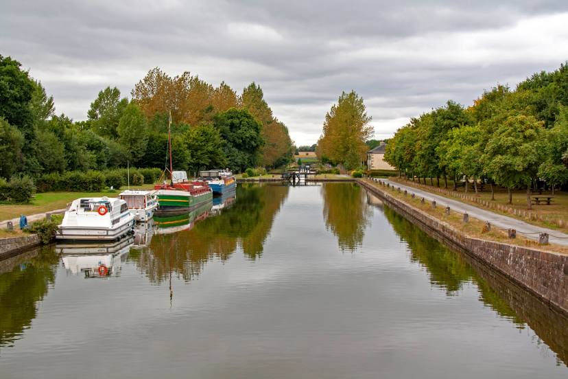
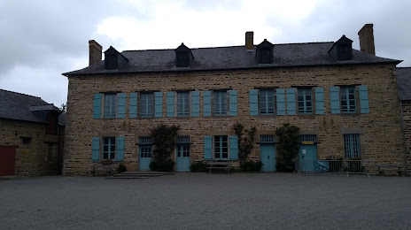
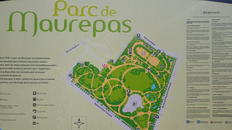
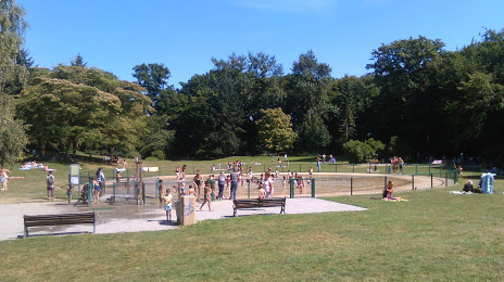
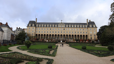
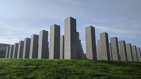
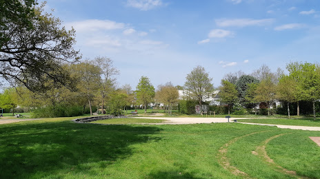
Attractions


Distance to the capital
Distance to the capital (Paris) is about — 308 km.