
 Brie-Comte-Robert
Maubeuge
Saint-Amand-les-Eaux
Le Mans
Irigny
Cachan
Reims
Gentilly
Vitrolles
Le Kremlin-Bicêtre
Athis-Mons
Saint-Ouen
Saint-Mandé
Le Chesnay
Alès
Marne-la-Vallée
Châtenay-Malabry
Montiéramey
Arcueil
Brie-Comte-Robert
Maubeuge
Saint-Amand-les-Eaux
Le Mans
Irigny
Cachan
Reims
Gentilly
Vitrolles
Le Kremlin-Bicêtre
Athis-Mons
Saint-Ouen
Saint-Mandé
Le Chesnay
Alès
Marne-la-Vallée
Châtenay-Malabry
Montiéramey
Arcueil
Blagnac on the map, France
Where is located Blagnac
Exact location — Blagnac, Haute-Garonne, Midi-Pyrénées, France, marked on the map with a red marker.
Coordinates
Blagnac, France coordinates in decimal format: latitude — 43.635087, longitude — 1.39703. When converted to degrees, minutes, seconds Blagnac has the following coordinates: 43°38′6.31 north latitude and 1°23′49.31 east longitude.
Population
Blagnac, Haute-Garonne, Midi-Pyrénées, France, according to our data the population is — 23,313 residents, which is about 0% of the total population of the country (France).
Comparison of the population on the graph:
Exact time
Time zone for this location Blagnac — UTC +2 Europe/Paris. Exact time — thursday, 5 may 2024 year, 04 h. 16 minutes.
Sunrise and sunset
Blagnac, sunrise and sunset data for a date — thursday 9.05.2024.
| Sunrise | Sunset | Day (duration) |
|---|---|---|
| 06:38 -2 minutes | 21:02 +1 minute | 14 h. 24 minutes. +3 minutes |
You can control the scale of the map using the auxiliary tools to find out exactly where it is located Blagnac. When you change the scale of the map, the width of the ruler also changes (in kilometers and miles).
Nearby cities
The largest cities that are located nearby:
- Toulouse — 5 km
- Perpignan — 161 km
- Montpellier — 199 km
- Bordeaux — 204 km
- Lleida
 (Spain) — 232 km
 - Terrassa (Spain) — 235 km
- Nimes — 237 km
- Sabadell (Spain) — 238 km
- Limoges — 243 km
- Mataró (Spain) — 248 km
- Santa Coloma de Gramenet (Spain) — 251 km
- Badalona (Spain) — 252 km
- L'Hospitalet de Llobregat (Spain) — 258 km
- Pamplona (Spain) — 263 km
- Clermont-Ferrand — 270 km
- San Sebastián (Spain) — 274 km
- Tarragona (Spain) — 278 km
- Zaragoza (Spain) — 290 km
- Saint-Étienne — 306 km
Distance to neighboring capitals:
- Andorra la Vella
 (Andorra) — 126 km
 - Madrid (Spain) — 553 km
- Bern
 (Switzerland) — 599 km
 - Vaduz
 (Liechtenstein) — 744 km
 - Brussels
 (Belgium) — 833 km
 - London
 (United Kingdom) — 883 km
 - Rome
 (Italy) — 926 km
 - Amsterdam
 (Netherlands) — 1006 km
 - Lisbon
 (Portugal) — 1036 km
 - Prague
 (Czech Republic) — 1221 km
 - Vienna
 (Austria) — 1263 km
 - Berlin
 (Germany) — 1328 km
 - Copenhagen
 (Denmark) — 1558 km
 - Warsaw
 (Poland) — 1738 km
 - Nicosia
 — 2884 km
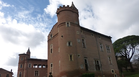
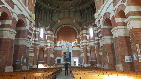
Attractions


Distance to the capital
Distance to the capital (Paris) is about — 585 km.