
 Paimpol
Loudéac
Nogent-sur-Marne
Alençon
Aubervilliers
Liffré
Colmar
Moirans
Antony
Dunkirk
Mulhouse
Dardilly
Marignane
La Courneuve
Saint-Nazaire
Albert
Bourges
Bagnols-sur-Cèze
Ploërmel
Paimpol
Loudéac
Nogent-sur-Marne
Alençon
Aubervilliers
Liffré
Colmar
Moirans
Antony
Dunkirk
Mulhouse
Dardilly
Marignane
La Courneuve
Saint-Nazaire
Albert
Bourges
Bagnols-sur-Cèze
Ploërmel
Bayonne on the map, France
Where is located Bayonne
Exact location — Bayonne, Pyrénées-Atlantiques, Aquitaine, France, marked on the map with a red marker.
Coordinates
Bayonne, France coordinates in decimal format: latitude — 43.492949, longitude — -1.474841. When converted to degrees, minutes, seconds Bayonne has the following coordinates: 43°29′34.62 north latitude and -1°28′29.43 east longitude.
Population
Bayonne, Pyrénées-Atlantiques, Aquitaine, France, according to our data the population is — 40,336 residents, which is about 0.1% of the total population of the country (France).
Comparison of the population on the graph:
Exact time
Time zone for this location Bayonne — UTC +2 Europe/Paris. Exact time — saturday, 5 may 2024 year, 00 h. 37 minutes.
Sunrise and sunset
Bayonne, sunrise and sunset data for a date — saturday 18.05.2024.
| Sunrise | Sunset | Day (duration) |
|---|---|---|
| 06:41 -1 minute | 21:23 +1 minute | 14 h. 42 minutes. +2 minutes |
You can control the scale of the map using the auxiliary tools to find out exactly where it is located Bayonne. When you change the scale of the map, the width of the ruler also changes (in kilometers and miles).
Nearby cities
The largest cities that are located nearby:
- San Sebastián
 (Spain) — 45 km
 - Pamplona (Spain) — 76 km
- Bilbao (Spain) — 120 km
- Vitoria-Gasteiz (Spain) — 120 km
- Logroño (Spain) — 139 km
- Bordeaux — 164 km
- Santander (Spain) — 187 km
- Zaragoza (Spain) — 210 km
- Burgos (Spain) — 222 km
- Toulouse — 234 km
- Lleida (Spain) — 270 km
- Limoges — 334 km
- Gijón (Spain) — 336 km
- Valladolid (Spain) — 337 km
- Tarragona (Spain) — 347 km
- León (Spain) — 347 km
- Oviedo (Spain) — 352 km
- Terrassa (Spain) — 359 km
- Perpignan — 366 km
Distance to neighboring capitals:
- Andorra la Vella
 (Andorra) — 267 km
 - Madrid (Spain) — 389 km
- Bern
 (Switzerland) — 797 km
 - Lisbon
 (Portugal) — 833 km
 - London
 (United Kingdom) — 897 km
 - Brussels
 (Belgium) — 929 km
 - Vaduz
 (Liechtenstein) — 950 km
 - Amsterdam
 (Netherlands) — 1095 km
 - Rome
 (Italy) — 1154 km
 - Prague
 (Czech Republic) — 1412 km
 - Vienna
 (Austria) — 1475 km
 - Berlin
 (Germany) — 1489 km
 - Copenhagen
 (Denmark) — 1685 km
 - Warsaw
 (Poland) — 1927 km
 - Nicosia
 — 3112 km
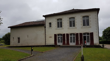
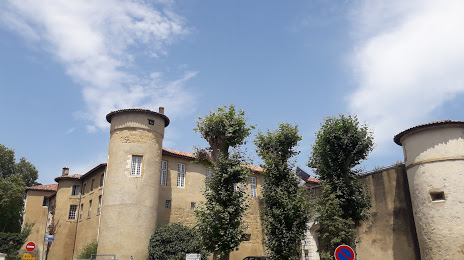
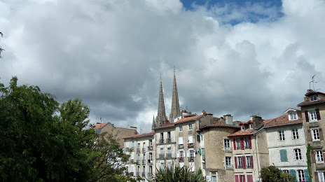
Attractions


Distance to the capital
Distance to the capital (Paris) is about — 665 km.