
 Sceaux
Châteauroux
Senonches
Crouttes
Maury
Les Andelys
Dreux
Senlis
Mirabeau
Sausheim
Trappes
Robion
Épinal
Chelles
Theix
Chapareillan
Montesson
Coignières
Gonesse
Sceaux
Châteauroux
Senonches
Crouttes
Maury
Les Andelys
Dreux
Senlis
Mirabeau
Sausheim
Trappes
Robion
Épinal
Chelles
Theix
Chapareillan
Montesson
Coignières
Gonesse
Saint-Étienne on the map, France
Where is located Saint-Étienne
Exact location — Saint-Étienne, Loire, Rhone-Alpes, France, marked on the map with a red marker.
Coordinates
Saint-Étienne, France coordinates in decimal format: latitude — 45.439695, longitude — 4.3871779. When converted to degrees, minutes, seconds Saint-Étienne has the following coordinates: 45°26′22.9 north latitude and 4°23′13.84 east longitude.
Population
Saint-Étienne, Loire, Rhone-Alpes, France, according to our data the population is — 170,416 residents, which is about 0.3% of the total population of the country (France).
Comparison of the population on the graph:
Exact time
Time zone for this location Saint-Étienne — UTC +2 Europe/Paris. Exact time — tuesday, 5 may 2024 year, 03 h. 18 minutes.
Sunrise and sunset
Saint-Étienne, sunrise and sunset data for a date — tuesday 14.05.2024.
| Sunrise | Sunset | Day (duration) |
|---|---|---|
| 06:16 -1 minute | 21:01 +1 minute | 14 h. 48 minutes. +2 minutes |
You can control the scale of the map using the auxiliary tools to find out exactly where it is located Saint-Étienne. When you change the scale of the map, the width of the ruler also changes (in kilometers and miles).
Nearby cities
The largest cities that are located nearby:
- Lyon — 50 km
- Villeurbanne — 53 km
- Clermont-Ferrand — 107 km
- Grenoble — 108 km
- Geneva
 (Switzerland) — 158 km
 - Nimes — 177 km
- Montpellier — 206 km
- Lausanne (Switzerland) — 209 km
- Dijon — 214 km
- Aix-en-Provence — 228 km
- Besançon — 234 km
- Limoges — 245 km
- Marseille — 250 km
- Turin
 (Italy) — 261 km
 - Toulon — 285 km
- Bern (Switzerland) — 285 km
- Nice — 299 km
- Toulouse — 311 km
- Perpignan — 327 km
Distance to neighboring capitals:
- Bern (Switzerland) — 289 km
- Andorra la Vella
 (Andorra) — 399 km
 - Vaduz
 (Liechtenstein) — 437 km
 - Brussels
 (Belgium) — 602 km
 - London
 (United Kingdom) — 752 km
 - Rome (Italy) — 761 km
- Amsterdam
 (Netherlands) — 772 km
 - Madrid
 (Spain) — 863 km
 - Prague
 (Czech Republic) — 910 km
 - Vienna
 (Austria) — 962 km
 - Berlin
 (Germany) — 1025 km
 - Copenhagen
 (Denmark) — 1275 km
 - Lisbon
 (Portugal) — 1341 km
 - Warsaw
 (Poland) — 1427 km
 - Nicosia
 — 2691 km
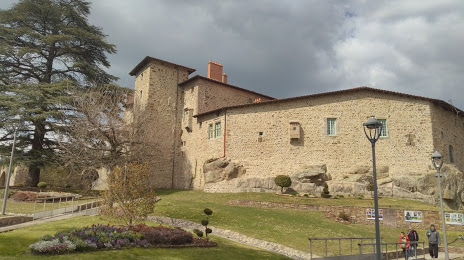
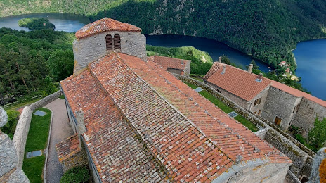
Attractions


Distance to the capital
Distance to the capital (Paris) is about — 410 km.