
 Chenôve
Maintenon
Pulversheim
Valberg
Fontenay-Trésigny
Bassussarry
Cabestany
Vidal
Moulins
Sausset-les-Pins
Cernay
Montbazon
Saumur
Trégunc
Langres
Fontenay-sous-Bois
Massieux
La Rochette
Erstein
Chenôve
Maintenon
Pulversheim
Valberg
Fontenay-Trésigny
Bassussarry
Cabestany
Vidal
Moulins
Sausset-les-Pins
Cernay
Montbazon
Saumur
Trégunc
Langres
Fontenay-sous-Bois
Massieux
La Rochette
Erstein
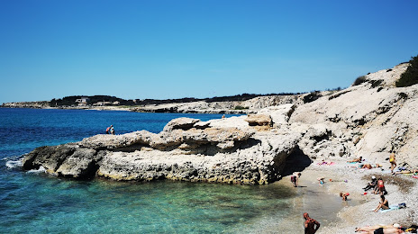
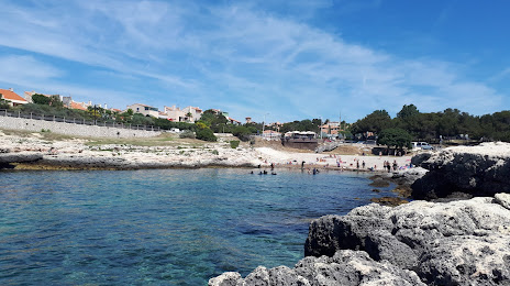
Martigues on the map, France
Where is located Martigues
Exact location — Martigues, Bouches-du-Rhone, Provence-Alpes-Côte d'Azur, France, marked on the map with a red marker.
Coordinates
Martigues, France coordinates in decimal format: latitude — 43.404811, longitude — 5.053728. When converted to degrees, minutes, seconds Martigues has the following coordinates: 43°24′17.32 north latitude and 5°3′13.42 east longitude.
Population
Martigues, Bouches-du-Rhone, Provence-Alpes-Côte d'Azur, France, according to our data the population is — 44,437 residents, which is about 0.1% of the total population of the country (France).
Comparison of the population on the graph:
Exact time
Time zone for this location Martigues — UTC +2 Europe/Paris. Exact time — wednesday, 5 may 2024 year, 22 h. 37 minutes.
Sunrise and sunset
Martigues, sunrise and sunset data for a date — wednesday 15.05.2024.
| Sunrise | Sunset | Day (duration) |
|---|---|---|
| 06:18 -1 minute | 20:54 +2 minutes | 14 h. 36 minutes. +3 minutes |
You can control the scale of the map using the auxiliary tools to find out exactly where it is located Martigues. When you change the scale of the map, the width of the ruler also changes (in kilometers and miles).
Nearby cities
The largest cities that are located nearby:
- Marseille — 28 km
- Aix-en-Provence — 34 km
- Nimes — 73 km
- Toulon — 77 km
- Montpellier — 97 km
- Nice — 180 km
- Perpignan — 192 km
- Grenoble — 204 km
- Saint-Étienne — 231 km
- Lyon — 261 km
- Villeurbanne — 262 km
- Turin
 (Italy) — 276 km
 - Toulouse — 290 km
- Mataró
 (Spain) — 299 km
 - Clermont-Ferrand — 303 km
- Badalona (Spain) — 318 km
- Sabadell (Spain) — 319 km
- Geneva
 (Switzerland) — 320 km
 - Santa Coloma de Gramenet (Spain) — 320 km
Distance to neighboring capitals:
- Andorra la Vella
 (Andorra) — 304 km
 - Bern (Switzerland) — 436 km
- Vaduz
 (Liechtenstein) — 543 km
 - Rome (Italy) — 631 km
- Madrid (Spain) — 797 km
- Brussels
 (Belgium) — 830 km
 - London
 (United Kingdom) — 981 km
 - Amsterdam
 (Netherlands) — 997 km
 - Vienna
 (Austria) — 1026 km
 - Prague
 (Czech Republic) — 1029 km
 - Berlin
 (Germany) — 1188 km
 - Lisbon
 (Portugal) — 1297 km
 - Copenhagen
 (Denmark) — 1467 km
 - Warsaw
 (Poland) — 1538 km
 - Nicosia
 — 2589 km
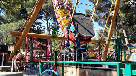
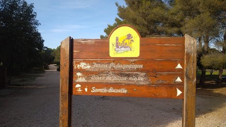
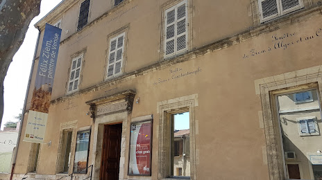
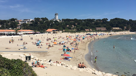
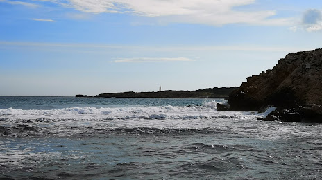
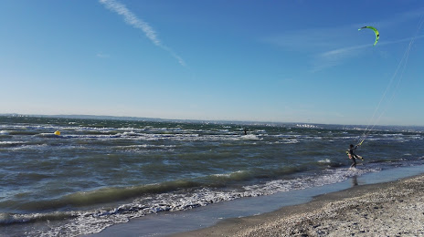
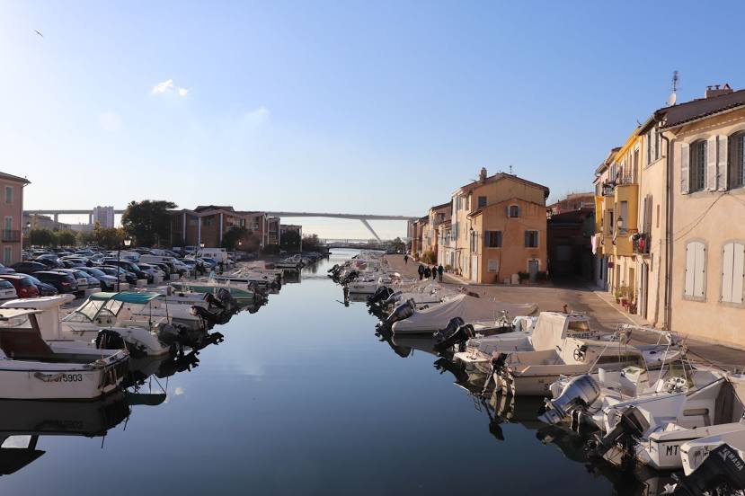
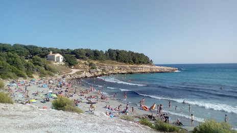
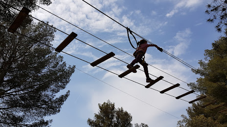
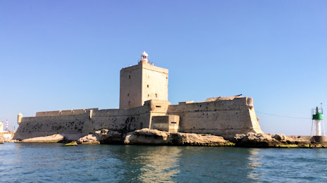
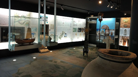
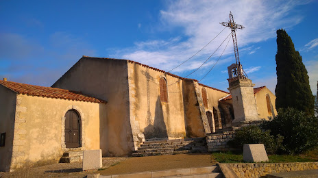
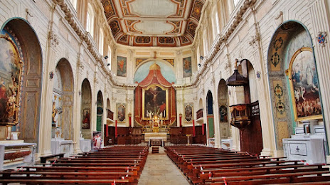
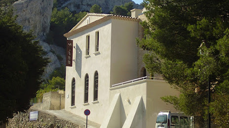
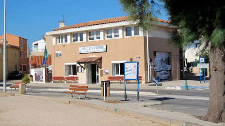
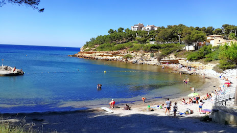
Attractions

Distance to the capital
Distance to the capital (Paris) is about — 641 km.