
 Siran
Breteuil
Le Faouët
Maulévrier
Hazebrouck
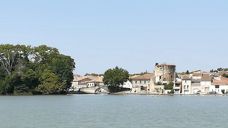
Tarascon
Perreux
Auxonne
Méaudre
Les Veys
Albertville
Barr
Hendaye
Saint-Symphorien-le-Château
Bost
Jouarre
Tigery
La Wantzenau
Houlgate
Siran
Breteuil
Le Faouët
Maulévrier
Hazebrouck
Tarascon
Perreux
Auxonne
Méaudre
Les Veys
Albertville
Barr
Hendaye
Saint-Symphorien-le-Château
Bost
Jouarre
Tigery
La Wantzenau
Houlgate
Castelnaudary on the map, France
Where is located Castelnaudary
Exact location — Castelnaudary, Aude, Languedoc-Roussillon, France, marked on the map with a red marker.
Coordinates
Castelnaudary, France coordinates in decimal format: latitude — 43.317118, longitude — 1.95333. When converted to degrees, minutes, seconds Castelnaudary has the following coordinates: 43°19′1.62 north latitude and 1°57′11.99 east longitude.
Population
Castelnaudary, Aude, Languedoc-Roussillon, France, according to our data the population is — 10,730 residents, which is about 0% of the total population of the country (France).
Comparison of the population on the graph:
Exact time
Time zone for this location Castelnaudary — UTC +2 Europe/Paris. Exact time — sunday, 5 may 2024 year, 14 h. 26 minutes.
Sunrise and sunset
Castelnaudary, sunrise and sunset data for a date — sunday 12.05.2024.
| Sunrise | Sunset | Day (duration) |
|---|---|---|
| 06:34 -1 minute | 21:02 +1 minute | 14 h. 30 minutes. +2 minutes |
You can control the scale of the map using the auxiliary tools to find out exactly where it is located Castelnaudary. When you change the scale of the map, the width of the ruler also changes (in kilometers and miles).
Nearby cities
The largest cities that are located nearby:
- Toulouse — 52 km
- Perpignan — 103 km
- Montpellier — 157 km
- Terrassa
 (Spain) — 194 km
 - Sabadell (Spain) — 196 km
- Nimes — 200 km
- Mataró (Spain) — 201 km
- Santa Coloma de Gramenet (Spain) — 208 km
- Badalona (Spain) — 208 km
- L'Hospitalet de Llobregat (Spain) — 216 km
- Lleida (Spain) — 218 km
- Tarragona (Spain) — 250 km
- Bordeaux — 260 km
- Marseille — 275 km
- Aix-en-Provence — 281 km
- Limoges — 283 km
- Clermont-Ferrand — 286 km
- Pamplona (Spain) — 297 km
- Zaragoza (Spain) — 299 km
Distance to neighboring capitals:
- Andorra la Vella
 (Andorra) — 97 km
 - Madrid (Spain) — 569 km
- Bern
 (Switzerland) — 590 km
 - Vaduz
 (Liechtenstein) — 729 km
 - Brussels
 (Belgium) — 857 km
 - Rome
 (Italy) — 877 km
 - London
 (United Kingdom) — 924 km
 - Amsterdam
 (Netherlands) — 1030 km
 - Lisbon
 (Portugal) — 1061 km
 - Prague
 (Czech Republic) — 1211 km
 - Vienna
 (Austria) — 1242 km
 - Berlin
 (Germany) — 1330 km
 - Copenhagen
 (Denmark) — 1570 km
 - Warsaw
 (Poland) — 1727 km
 - Nicosia
 — 2834 km
Attractions
Distance to the capital
Distance to the capital (Paris) is about — 617 km.