
 Bresson
Gundershoffen
Castelnaudary
Alleyras
Brûlon
Châteaubriant
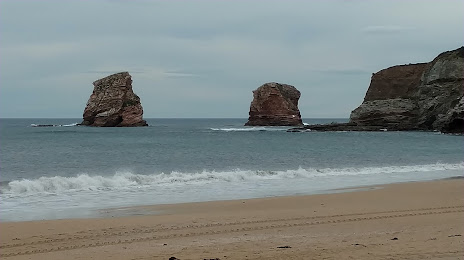
Ahetze
Périgny
Orchies
Louviers
Bazeilles
Ensisheim
Savonnières
Saint-Quentin
Montceau-les-Mines
Wasselonne
Bourg-en-Bresse
Langueux
Ostwald
Bresson
Gundershoffen
Castelnaudary
Alleyras
Brûlon
Châteaubriant
Ahetze
Périgny
Orchies
Louviers
Bazeilles
Ensisheim
Savonnières
Saint-Quentin
Montceau-les-Mines
Wasselonne
Bourg-en-Bresse
Langueux
Ostwald
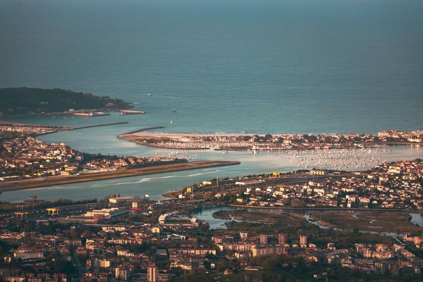
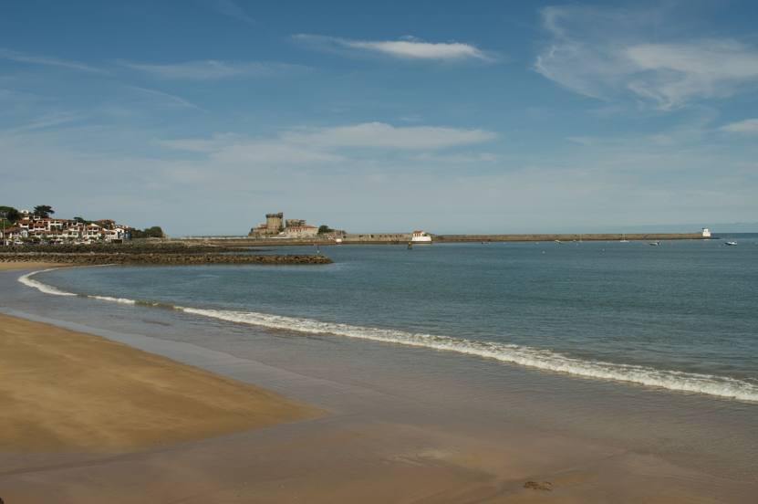
Hendaye on the map, France
Where is located Hendaye
Exact location — Hendaye, Pyrénées-Atlantiques, Aquitaine, France, marked on the map with a red marker.
Coordinates
Hendaye, France coordinates in decimal format: latitude — 43.359399, longitude — -1.766148. When converted to degrees, minutes, seconds Hendaye has the following coordinates: 43°21′33.84 north latitude and -1°45′58.13 east longitude.
Population
Hendaye, Pyrénées-Atlantiques, Aquitaine, France, according to our data the population is — 13,423 residents, which is about 0% of the total population of the country (France).
Comparison of the population on the graph:
Exact time
Time zone for this location Hendaye — UTC +2 Europe/Paris. Exact time — saturday, 5 may 2024 year, 19 h. 08 minutes.
Sunrise and sunset
Hendaye, sunrise and sunset data for a date — saturday 18.05.2024.
| Sunrise | Sunset | Day (duration) |
|---|---|---|
| 06:42 -1 minute | 21:24 +1 minute | 14 h. 42 minutes. +2 minutes |
You can control the scale of the map using the auxiliary tools to find out exactly where it is located Hendaye. When you change the scale of the map, the width of the ruler also changes (in kilometers and miles).
Nearby cities
The largest cities that are located nearby:
- San Sebastián
 (Spain) — 18 km
 - Pamplona (Spain) — 61 km
- Vitoria-Gasteiz (Spain) — 93 km
- Bilbao (Spain) — 95 km
- Logroño (Spain) — 114 km
- Santander (Spain) — 164 km
- Bordeaux — 188 km
- Burgos (Spain) — 194 km
- Zaragoza (Spain) — 203 km
- Toulouse — 258 km
- Lleida (Spain) — 276 km
- Valladolid (Spain) — 309 km
- Gijón (Spain) — 313 km
- León (Spain) — 321 km
- Oviedo (Spain) — 328 km
- Alcala de Henares (Spain) — 345 km
- Alcobendas (Spain) — 349 km
- Torrejón de Ardoz (Spain) — 352 km
- Tarragona (Spain) — 352 km
Distance to neighboring capitals:
- Andorra la Vella
 (Andorra) — 284 km
 - Madrid (Spain) — 364 km
- Lisbon
 (Portugal) — 805 km
 - Bern
 (Switzerland) — 825 km
 - London
 (United Kingdom) — 915 km
 - Brussels
 (Belgium) — 952 km
 - Vaduz
 (Liechtenstein) — 978 km
 - Amsterdam
 (Netherlands) — 1118 km
 - Rome
 (Italy) — 1177 km
 - Prague
 (Czech Republic) — 1439 km
 - Vienna
 (Austria) — 1502 km
 - Berlin
 (Germany) — 1516 km
 - Copenhagen
 (Denmark) — 1710 km
 - Warsaw
 (Poland) — 1955 km
 - Nicosia
 — 3134 km
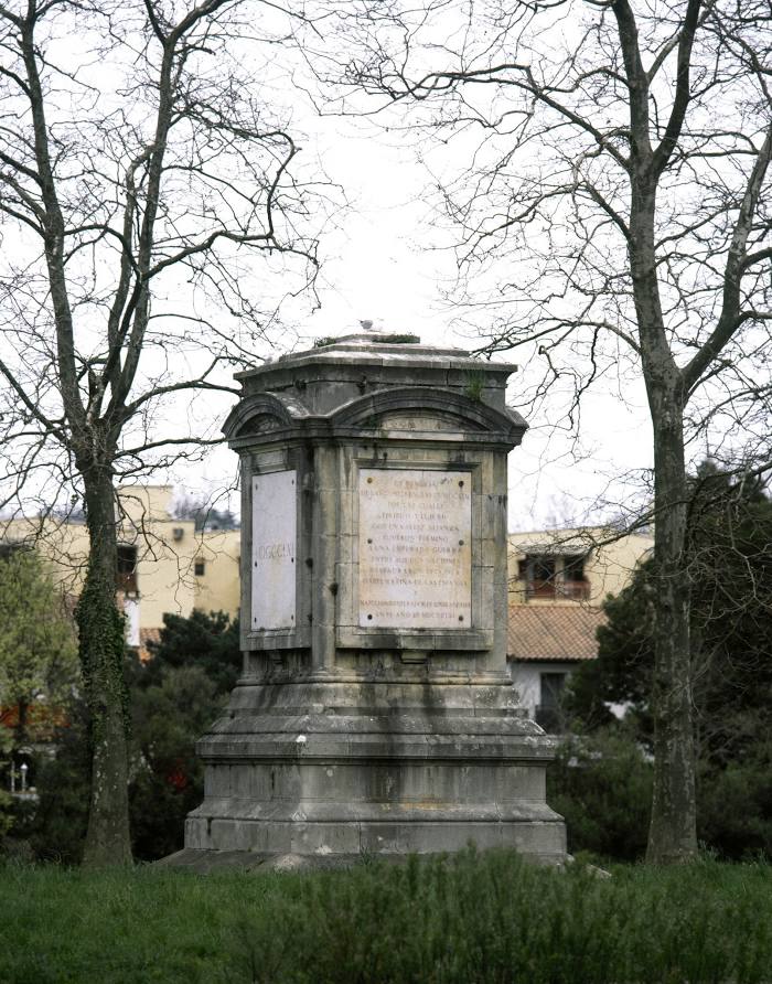
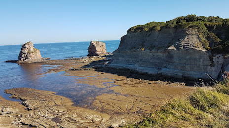
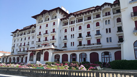
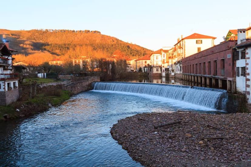
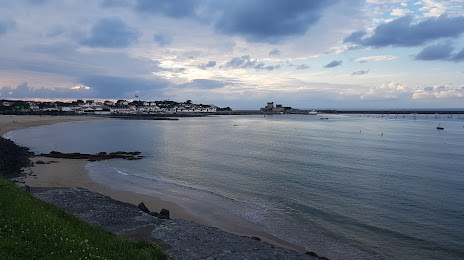
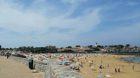
Attractions


Distance to the capital
Distance to the capital (Paris) is about — 689 km.