
 Chanteloup-les-Vignes
Cagnes-sur-Mer
Bolquère
Saint-Ours
Châlette-sur-Loing
Saint-Maur-des-Fossés
Moissy-Cramayel
St-Chamond
Saint-Brice-sous-Forêt
Saint-Sulpice-la-Pointe
Plan-de-Cuques
Saint-Doulchard
Garges-lès-Gonesse
Champigny-sur-Marne
Corbeil-Essonnes
Aigues-Mortes
Calviac-en-Périgord
Saint-Jean-de-Maurienne
Bourg-lès-Valence
Chanteloup-les-Vignes
Cagnes-sur-Mer
Bolquère
Saint-Ours
Châlette-sur-Loing
Saint-Maur-des-Fossés
Moissy-Cramayel
St-Chamond
Saint-Brice-sous-Forêt
Saint-Sulpice-la-Pointe
Plan-de-Cuques
Saint-Doulchard
Garges-lès-Gonesse
Champigny-sur-Marne
Corbeil-Essonnes
Aigues-Mortes
Calviac-en-Périgord
Saint-Jean-de-Maurienne
Bourg-lès-Valence
Villefranche-de-Rouergue on the map, France
Where is located Villefranche-de-Rouergue
Exact location — Villefranche-de-Rouergue, Aveyron, Midi-Pyrénées, France, marked on the map with a red marker.
Coordinates
Villefranche-de-Rouergue, France coordinates in decimal format: latitude — 44.349746, longitude — 2.035381. When converted to degrees, minutes, seconds Villefranche-de-Rouergue has the following coordinates: 44°20′59.09 north latitude and 2°2′7.37 east longitude.
Population
Villefranche-de-Rouergue, Aveyron, Midi-Pyrénées, France, according to our data the population is — 11,775 residents, which is about 0% of the total population of the country (France).
Comparison of the population on the graph:
Exact time
Time zone for this location Villefranche-de-Rouergue — UTC +2 Europe/Paris. Exact time — wednesday, 5 may 2024 year, 23 h. 07 minutes.
Sunrise and sunset
Villefranche-de-Rouergue, sunrise and sunset data for a date — wednesday 8.05.2024.
| Sunrise | Sunset | Day (duration) |
|---|---|---|
| 06:35 -2 minutes | 21:00 +1 minute | 14 h. 24 minutes. +3 minutes |
You can control the scale of the map using the auxiliary tools to find out exactly where it is located Villefranche-de-Rouergue. When you change the scale of the map, the width of the ruler also changes (in kilometers and miles).
Nearby cities
The largest cities that are located nearby:
- Toulouse — 95 km
- Montpellier — 169 km
- Limoges — 175 km
- Clermont-Ferrand — 177 km
- Nimes — 194 km
- Perpignan — 196 km
- Bordeaux — 212 km
- Saint-Étienne — 219 km
- Lyon — 267 km
- Villeurbanne — 271 km
- Aix-en-Provence — 288 km
- Marseille — 293 km
- Grenoble — 302 km
- Terrassa
 (Spain) — 308 km
 - Sabadell (Spain) — 310 km
- Mataró (Spain) — 313 km
- Badalona (Spain) — 321 km
- Santa Coloma de Gramenet (Spain) — 322 km
- Lleida (Spain) — 324 km
Distance to neighboring capitals:
- Andorra la Vella
 (Andorra) — 209 km
 - Bern
 (Switzerland) — 510 km
 - Madrid (Spain) — 643 km
- Vaduz
 (Liechtenstein) — 658 km
 - Brussels
 (Belgium) — 744 km
 - London
 (United Kingdom) — 812 km
 - Rome
 (Italy) — 891 km
 - Amsterdam
 (Netherlands) — 917 km
 - Lisbon
 (Portugal) — 1120 km
 - Prague
 (Czech Republic) — 1131 km
 - Vienna
 (Austria) — 1181 km
 - Berlin
 (Germany) — 1234 km
 - Copenhagen
 (Denmark) — 1464 km
 - Warsaw
 (Poland) — 1648 km
 - Nicosia
 — 2846 km
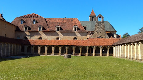
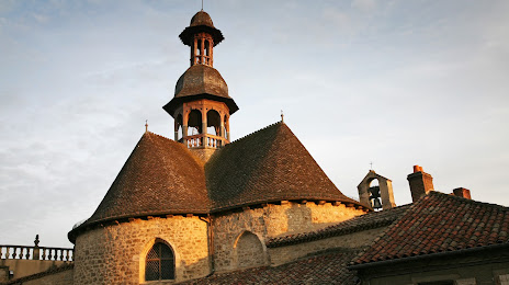
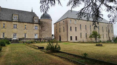
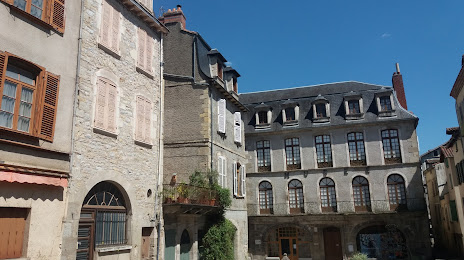
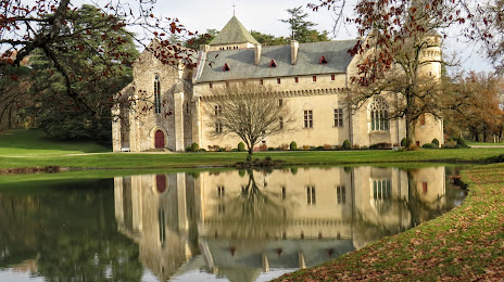
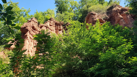
Attractions
Distance to the capital
Distance to the capital (Paris) is about — 502 km.